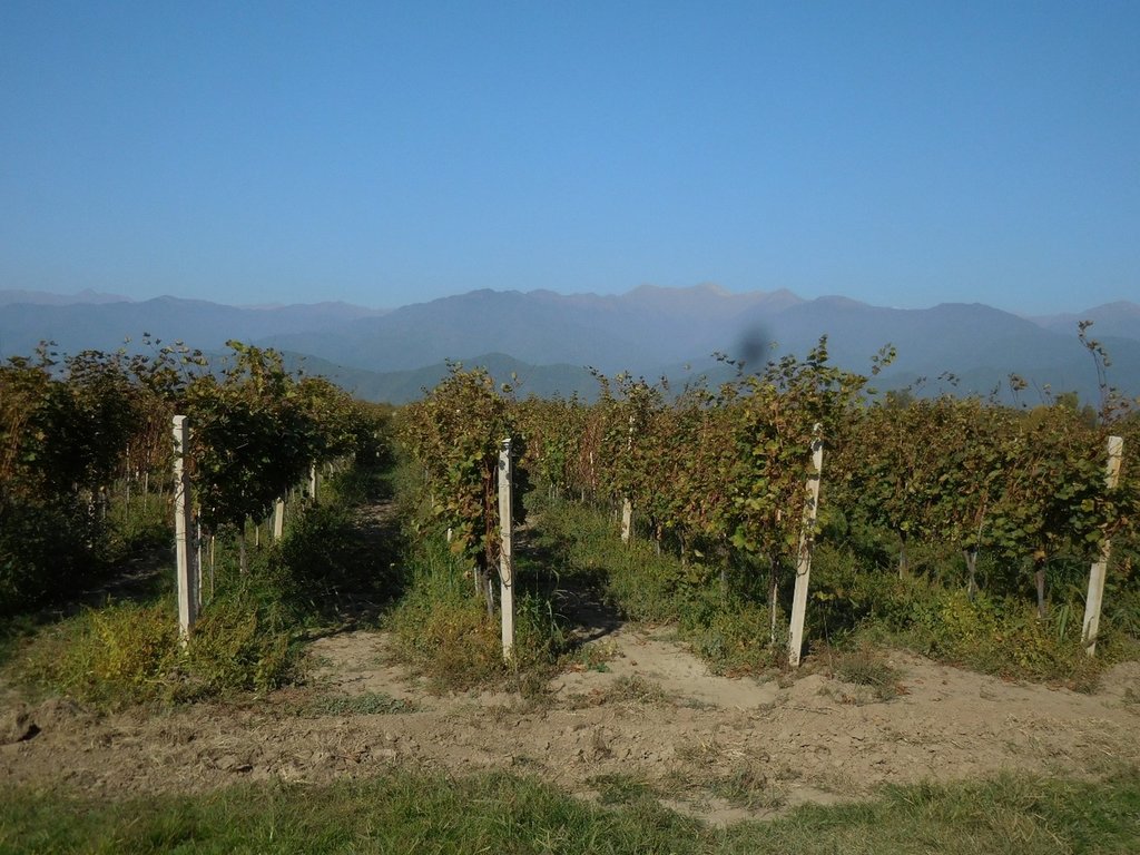
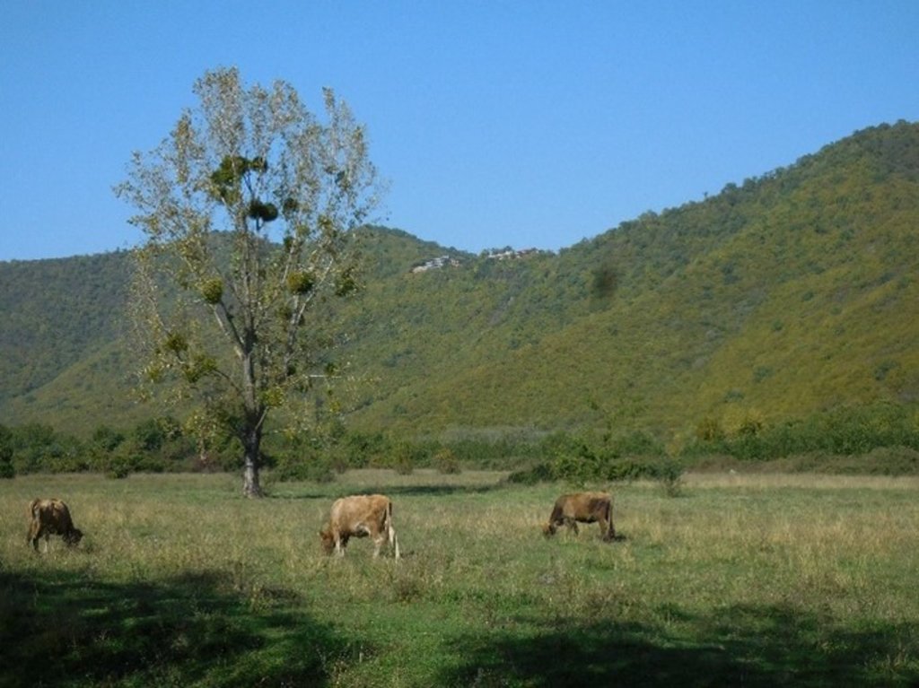
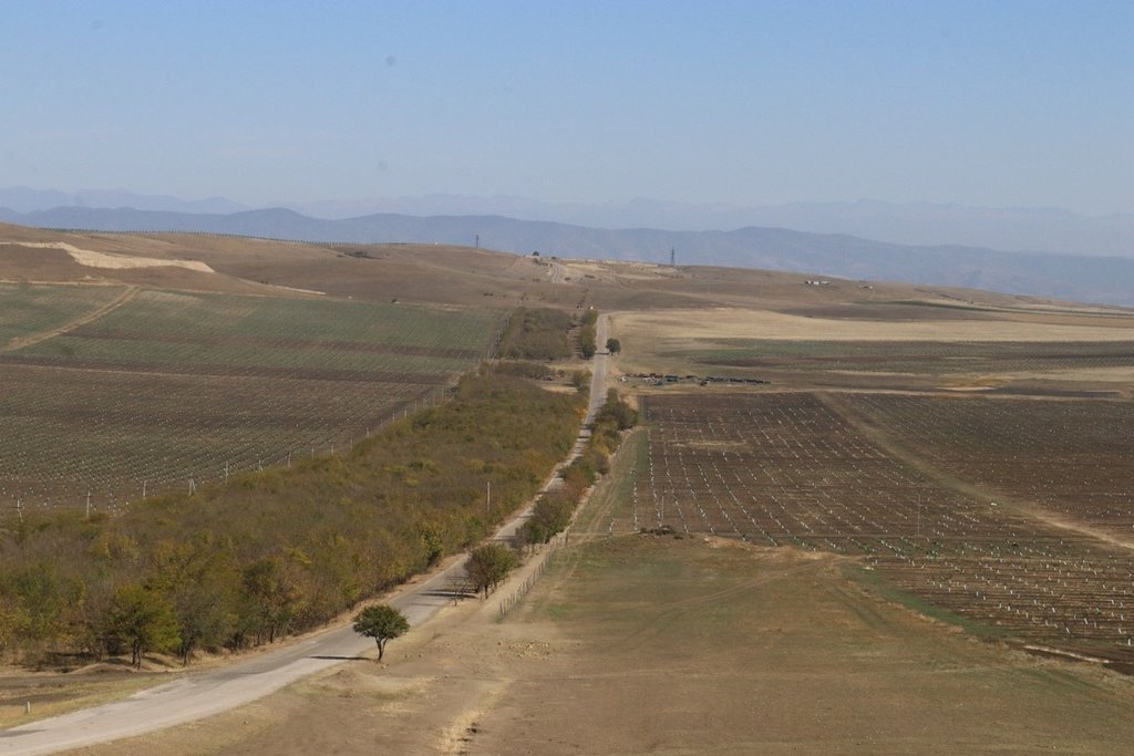
Integrated Land Use Plans for Municipalities in Georgia [Georgia]
- Creation:
- Update:
- Compiler: Daniel Zollner
- Editors: Anneliese Fuchs, Michael Huber
- Reviewers: William Critchley, Rima Mekdaschi Studer
Integrated Land Use Plans for Georgia
approaches_5897 - Georgia
View sections
Expand all Collapse all1. General information
1.2 Contact details of resource persons and institutions involved in the assessment and documentation of the Approach
SLM specialist:
Zumbulidze Maia
REC Caucasus
13, Badri Shoshitaishvili Street D. Arakishvili 1st dead-end 0179 Tbilisi, Georgia
Georgia
SLM specialist:
SLM specialist:
SLM specialist:
Name of project which facilitated the documentation/ evaluation of the Approach (if relevant)
Generating Economic and Environmental Benefits from Sustainable Land Management for Vulnerable Rural Communities of Georgia (GREENLANDS)Name of the institution(s) which facilitated the documentation/ evaluation of the Approach (if relevant)
Global Environment Facility Georgia (GEF Georgia) - Georgia1.3 Conditions regarding the use of data documented through WOCAT
When were the data compiled (in the field)?
14/11/2019
The compiler and key resource person(s) accept the conditions regarding the use of data documented through WOCAT:
Ja
2. Description of the SLM Approach
2.1 Short description of the Approach
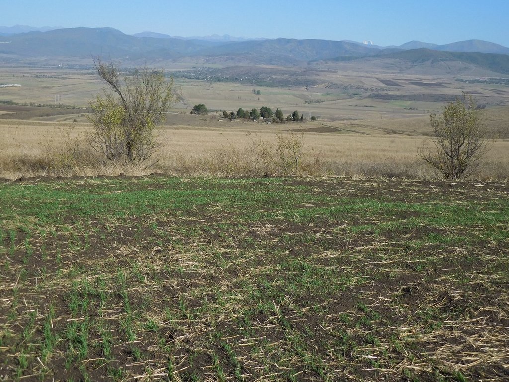
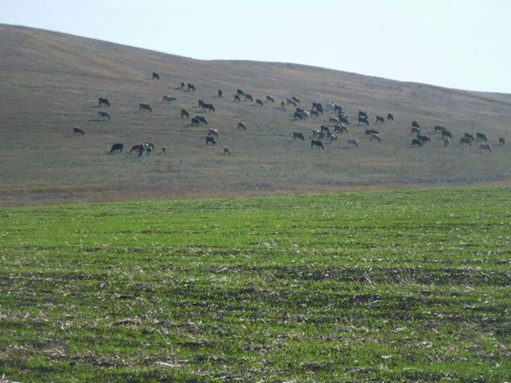
Under the framework of the project ‘Generating Economic and Environmental Benefits from Sustainable Land Management for Vulnerable Rural Communities of Georgia’, four Integrated Land Use Plans (ILUPs) were developed to support sustainable agriculture and rural development in the Georgian municipalities of Gori, Kareli, Kvareli and Sagarejo. The objective of the ILUPs is to provide strategic guidelines for decision makers and authorities for the spatial development of agriculture at the landscape unit level over the period of 2021 to 2030.
2.2 Detailed description of the Approach
Detailed description of the Approach:
The project ‘Generating Economic and Environmental Benefits from Sustainable Land Management for Vulnerable Rural Communities of Georgia’, financed by the Global Environment Facility (GEF) and implemented by the Regional Environmental Center (REC) for the Caucasus, aims to develop new sustainable land management (SLM) systems at both the commune and farmer plot levels, that integrate climate-smart agricultural production, food security and resilience and thereby contribute to Georgia’s objectives for Land Degradation Neutrality.
This WOCAT-based approach describes the development of four Integrated Land Use Plans (ILUPs) for sustainable agriculture and rural development in the municipalities of Gori, Kareli, Kvareli and Sagarejo (each 1000-2500km2).
The objective of the ILUPs is to provide strategic guidelines for decision makers and authorities for the spatial development of agriculture in the four municipalities for the period from 2021 to 2030 at the landscape level. This takes into consideration the balance of nature and human needs, and integrates different sectors and perspectives in the plan. This is to create synergies on the one hand, and to avoid conflicting goals on the other. Special attention is paid to the complex interactions between agriculture, climate change and land degradation. Thus, the ILUPs aim to develop and strengthen Sustainable Land Management (SLM) practices, Climate Smart Agriculture (CSA) and Land Degradation Neutrality (LDN) and to provide different options for further development. Above all, the plans aim to bring together relevant aspects from existing strategies and policies with local needs and ideas and link them at the spatial level as far as possible.
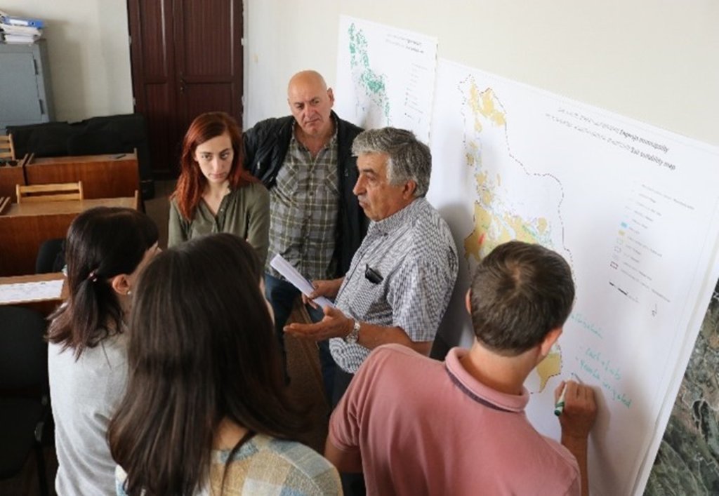
The ILUP project was implemented between the years 2019 and 2021. The development of the plan needs different approaches and methods - including literature research, statistical data evaluation, field mission, GIS analysis, and suitability assessment. With inception and field visits, workshops with the municipal LDN working group, interviews with farmers, and analyses of different base maps, the land use, the suitability for their development options, and the degradation risks of the area were identified and reflected step by step. The intersection and aggregation of the data led to the definition of the following main basic functional units:
- High Production Value (HPV) Farmland (for perennials, annual cropland and grassland)
- High Nature Value (HNV) Farmland
- High Social Value (HSV) Farmland and, as a specific output,
- Hot Spots of degradation (water erosion, wind erosion, and salinization).
The results were documented in a sectoral, technical plan for each municipality. The ILUP is intended to serve as a basis for further planning, capacity building and decision making procedures within the framework of legal responsibilities and requirements (e. g. for the municipal spatial plan). A second document (also recorded under WOCAT) is based on the outcome of this showcase and predominantly focuses on LDN implementation options by the application and adoption of various SLM and CSA practices.
2.3 Photos of the Approach
2.5 Country/ region/ locations where the Approach has been applied
Country:
Georgia
Region/ State/ Province:
Shida Kartli and Kakheti
Further specification of location:
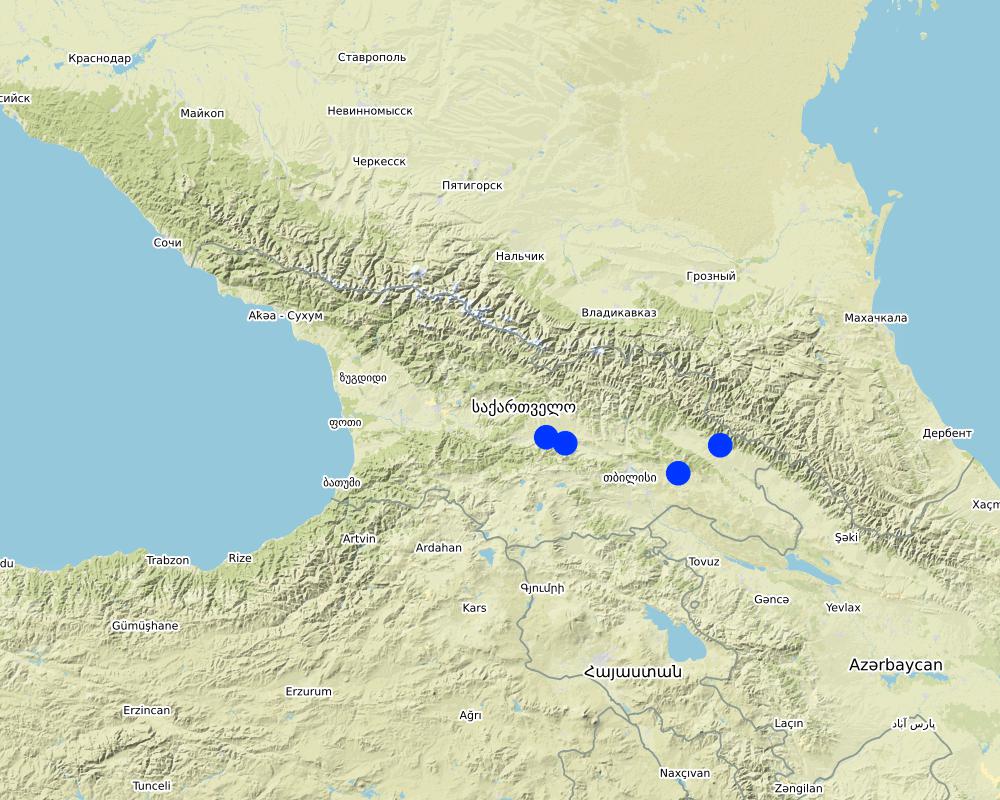
Gori, Kareli, Kvareli, Sagarejo
Comments:
The points are located within the four municipalities of Gori, Kareli, Kvareli and Sagarejo. The land use plan was prepared for the entire territory of the four municipalities.
Map
×2.6 Dates of initiation and termination of the Approach
Indicate year of initiation:
2019
Year of termination (if Approach is no longer applied):
2021
Comments:
ILUPs as basic planning documents were finished in June 2021. However, there is a next phase needed in order to include local stakeholders, national experts and farmers more intensively for implementation on plot level.
2.7 Type of Approach
- project/ programme based
2.8 Main aims/ objectives of the Approach
The objective of the ILUPs is to provide strategic guidelines for decision makers and authorities for the spatial development of sustainable agriculture in the four municipalities for the period from 2021 to 2030 at the landscape level. It takes into consideration the balance of nature and human needs and integrates different sectors and perspectives in the plan. This is to create synergies on the one hand and to avoid conflicting goals on the other.
2.9 Conditions enabling or hindering implementation of the Technology/ Technologies applied under the Approach
social/ cultural/ religious norms and values
- enabling
basically, awareness of the necessity to use the land in a sustainable manner exists
- hindering
historically conditioned reservation
availability/ access to financial resources and services
- enabling
a few international financing tools are existing (GEF, GCF, etc)
- hindering
holistic, transsectoral, and adaptive financing mechanisms restricted
institutional setting
- enabling
agricultural experts at the local level
- hindering
lack of education possibilities
collaboration/ coordination of actors
- enabling
- permanent working groups existing (LDN working groups, ministerial working groups etc.)
- active actors in the region
- hindering
continuing lack of cooperation
legal framework (land tenure, land and water use rights)
- enabling
legal framework has been established recently
- hindering
lack of land registration
policies
- enabling
abundant framework documents existing
- hindering
implementation of the policies is the challenge
land governance (decision-making, implementation and enforcement)
- enabling
recently re-structured administrative entities (is a potential in the long run)
- hindering
recently re-structured administrative entities (phase of change)
knowledge about SLM, access to technical support
- enabling
national service provider existing
- hindering
lack of knowldege and capacity
markets (to purchase inputs, sell products) and prices
- enabling
adjacent urban areas
- hindering
- high economic pressure on the world market
- low income level in the regions
workload, availability of manpower
- hindering
demographic change
3. Participation and roles of stakeholders involved
3.1 Stakeholders involved in the Approach and their roles
- local land users/ local communities
various farmers
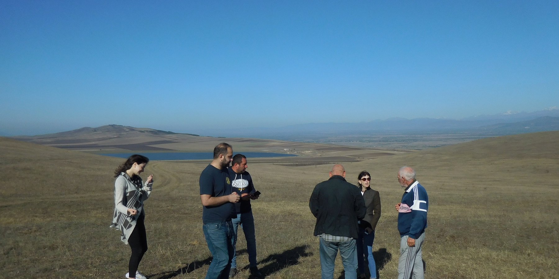
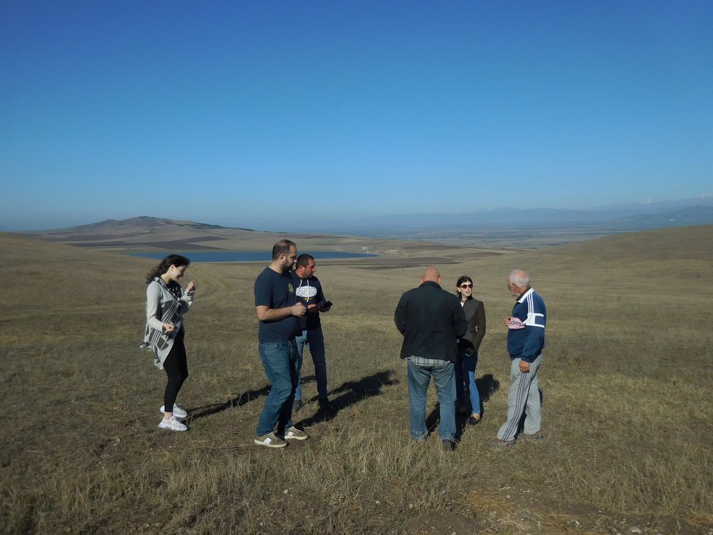
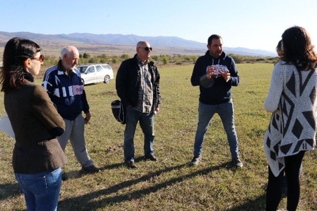
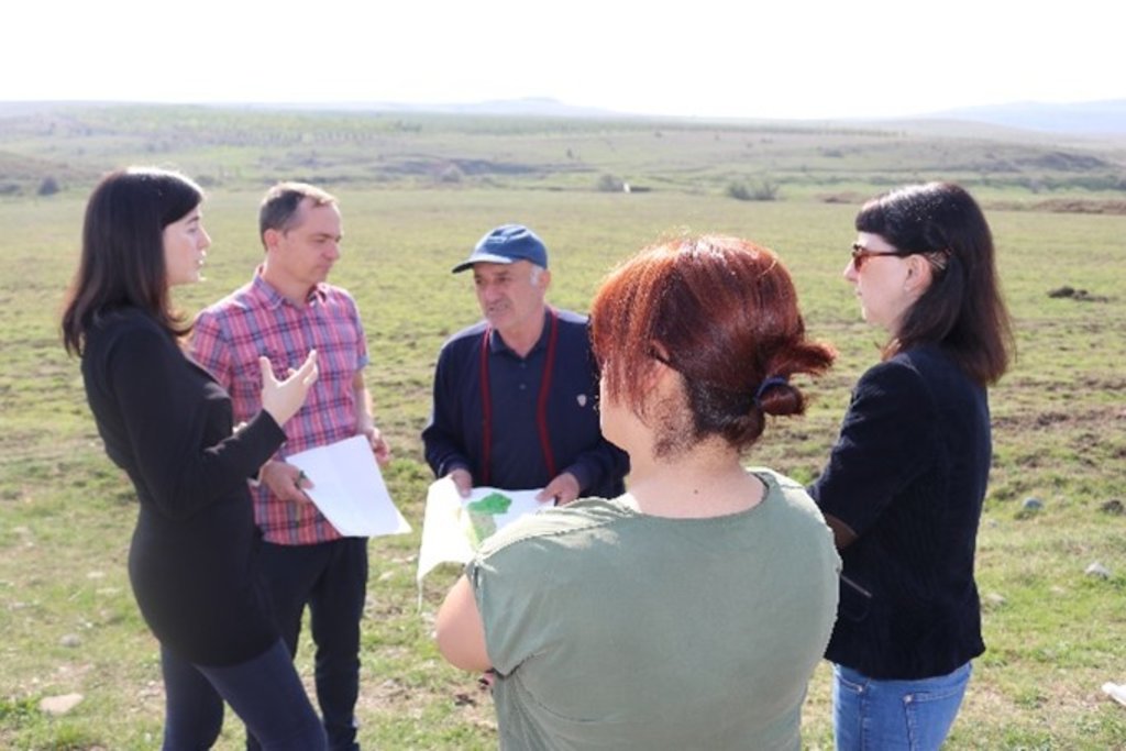
visits to the fields with the local farmers, discussions about the type of cultivation, specific needs and ideas
- researchers
Tbilisi State University
Scientific expertise on land use and soil productivity
- NGO
REC Caucasus
Supervisors, consultants, GIS analyses, participation in the LDN Working Group Meeting
- local government
- Executive Office of the Gori Municipal Council
- City Hall (formerly Municipal Administration“Gamgeoba”), Municipality of Gori
- City Hall (formerly Municipal Administration“Gamgeoba”), Municipality of Kareli
- City Hall (formerly Municipal Administration“Gamgeoba”), Municipality of Kvareli
- City Hall (formerly Municipal Administration“Gamgeoba”), Municipality of Sagarejo
Participation in the LDN Working Group Meeting
- national government (planners, decision-makers)
- Ministry of Environmental Protection and Agriculture of Georgia (MEPA)
- Agricultural and Rural Development Agency (ARDA)
Participation in the LDN Working Group Meeting, process steering and embedment into national policies
- international organization
UNEP
Steering of the whole GEF project (with the ILUPs as one component of it)
3.2 Involvement of local land users/ local communities in the different phases of the Approach
| Involvement of local land users/ local communities | Specify who was involved and describe activities | |
|---|---|---|
| initiation/ motivation | none | |
| planning | passive | Local land users were consulted to gain experience and insight into the situation of agriculture in the different areas. The interviews were then incorporated into the preparation of the maps and land use plans. |
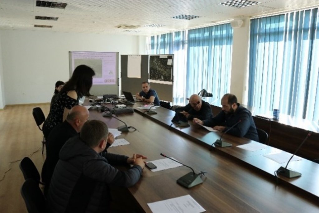
| implementation | interactive | - during the inception mission - in the course of the interactive ILUP workshops |
| monitoring/ evaluation | external support | - supervision and critical reflection by experts and the client - presentation and reflection at the GEF project steering commitee meeting (about 30 persons - decision makers from different policy levels, national and international experts, project manager etc.) |
3.4 Decision-making on the selection of SLM Technology/ Technologies
Specify who decided on the selection of the Technology/ Technologies to be implemented:
- mainly SLM specialists, following consultation with land users
Explain:
The ILUP provides several options to use SLM technologies: the final decision will take place in a next step. Some specific technologies and actions (no-tillage, windbreaks..) are currently implemented.
4. Technical support, capacity building, and knowledge management
4.1 Capacity building/ training
Was training provided to land users/ other stakeholders?
Nee
4.2 Advisory service
Do land users have access to an advisory service?
Nee
4.3 Institution strengthening (organizational development)
Have institutions been established or strengthened through the Approach?
- yes, moderately
Specify the level(s) at which institutions have been strengthened or established:
- local
Describe institution, roles and responsibilities, members, etc.
Representatives of the municipalities - regional expertise, practical implementation, embedded into local policies.
Specify type of support:
- capacity building/ training
Give further details:
Discussions and workshops to contribute to a better common understanding and transsectoral learning from each other.
4.4 Monitoring and evaluation
Is monitoring and evaluation part of the Approach?
Nee
4.5 Research
Was research part of the Approach?
Nee
5. Financing and external material support
5.1 Annual budget for the SLM component of the Approach
If precise annual budget is not known, indicate range:
- 10,000-100,000
Comments (e.g. main sources of funding/ major donors):
Global Environmental Facility (GEF), in the frame of the project: Generating Economic and Environmental Benefits from Sustainable Land Management for Vulnerable Rural Communities of Georgia
5.2 Financial/ material support provided to land users
Did land users receive financial/ material support for implementing the Technology/ Technologies?
Ja
If yes, specify type(s) of support, conditions, and provider(s):
Different sources and options of support are recommended in the ILUPS, but needs to be decided.
5.4 Credit
Was credit provided under the Approach for SLM activities?
Nee
5.5 Other incentives or instruments
Were other incentives or instruments used to promote implementation of SLM Technologies?
Nee
6. Impact analysis and concluding statements
6.1 Impacts of the Approach
Did the Approach empower local land users, improve stakeholder participation?
- No
- Yes, little
- Yes, moderately
- Yes, greatly
- integration of local decision maker was core part of the planning procedure - more empowerment of land users planned for the detailed planning phase
Did the Approach help land users to implement and maintain SLM Technologies?
- No
- Yes, little
- Yes, moderately
- Yes, greatly
The ILUP is designed to be the fundamental basis for any kind of SLM technologies
Did the Approach improve coordination and cost-effective implementation of SLM?
- No
- Yes, little
- Yes, moderately
- Yes, greatly
The whole plan is dedicated to coordinate approaches and implementations
Did the Approach improve knowledge and capacities of land users to implement SLM?
- No
- Yes, little
- Yes, moderately
- Yes, greatly
Little in the process of elaboration, but will improve significantly in the course of implementation
Did the Approach improve knowledge and capacities of other stakeholders?
- No
- Yes, little
- Yes, moderately
- Yes, greatly
Little in the process of elaboration, but will improve significantly in the course of implementation
Did the Approach mitigate conflicts?
- No
- Yes, little
- Yes, moderately
- Yes, greatly
The whole plan is designed to mitigate land use conflicts
Did the Approach empower socially and economically disadvantaged groups?
- No
- Yes, little
- Yes, moderately
- Yes, greatly
A large proportion of the approach is dedicated to small farmers
Did the Approach improve gender equality and empower women and girls?
- No
- Yes, little
- Yes, moderately
- Yes, greatly
The gender aspect is integrated into the plan, but needs implementation
Did the Approach improve issues of land tenure/ user rights that hindered implementation of SLM Technologies?
- No
- Yes, little
- Yes, moderately
- Yes, greatly
The approach underlined the necessity of land registration
The plan is designed to improve food security
The plan is designed to improve the development of new markets resp. the access of existing markets
Did the Approach lead to more sustainable use/ sources of energy?
- No
- Yes, little
- Yes, moderately
- Yes, greatly
Some components are dealing with energy topics.
Did the Approach improve the capacity of the land users to adapt to climate changes/ extremes and mitigate climate related disasters?
- No
- Yes, little
- Yes, moderately
- Yes, greatly
Little in the process of elaboration, but will improve significantly in the course of implementation
Did the Approach lead to employment, income opportunities?
- No
- Yes, little
- Yes, moderately
- Yes, greatly
Little in the process of elaboration, but should improve significantly in the course of implementation
6.2 Main motivation of land users to implement SLM
- increased production
- increased profit(ability), improved cost-benefit-ratio
- reduced land degradation
- reduced risk of disasters
- environmental consciousness
- enhanced SLM knowledge and skills
- conflict mitigation
6.3 Sustainability of Approach activities
Can the land users sustain what has been implemented through the Approach (without external support)?
- no
If no or uncertain, specify and comment:
The approach needs embedding into local governance structures
6.4 Strengths/ advantages of the Approach
| Strengths/ advantages/ opportunities in the land user’s view |
|---|
| clear overview of land suitability |
| diversification options |
| set of proposed measures and actions |
| Strengths/ advantages/ opportunities in the compiler’s or other key resource person’s view |
|---|
| fundamental for strategic and coordinated development, practical framework for implementation |
| stringent target system, compiled at different levels |
| integrated development approach, combining all dimensions of sustainability |
| core tool to adapt to and mitigate climate change |
6.5 Weaknesses/ disadvantages of the Approach and ways of overcoming them
| Weaknesses/ disadvantages/ risks in the land user’s view | How can they be overcome? |
|---|---|
| plan might raise expectations and an "atmosphere of departure", that cannot be fullfilled in due time |
- consistent and timely implementation of proposed measures - acquisition of financial resources - strengthening local structures and participation |
| plan will not enter next phases, thus implementation might get stuck and/or will not meet the needs on plot level fully | Consistent and timely implementation of the proposed next steps (review process, detailed planning, embedding into municipal land use planning system) |
| Weaknesses/ disadvantages/ risks in the compiler’s or other key resource person’s view | How can they be overcome? |
|---|---|
| Risk that further planning process gets stuck and/or lacks participation |
- intensive land user involvement - cross-sectoral participation - detailed (process) planning (at plot level) |
| Risk of weak implementation because of lack of framework conditions |
- further land registration needed - detailed planning needed (next phase) - according financing mechanisms needed - embedding into communal planning environment |
7. References and links
7.1 Methods/ sources of information
- field visits, field surveys
4 local workshops
- interviews with land users
about 5 interviews
- interviews with SLM specialists/ experts
- one scientific expert
- several representatives from the steering commitee of the project
- compilation from reports and other existing documentation
About 50 reports and documents
7.2 References to available publications
Title, author, year, ISBN:
Zollner, D., Zumbulidze, M., Kirchmeir, H., Fuchs, A. und Huber, M. 2021: Gori Integrated Land Use Plan (ILUP Gori) for sustainable agriculture and rural development with special emphasis on SLM, CSA and LDN. Part A – ILUP Gori. Version 2.0. Klagenfurt, Tbilisi, Gori. 80 p. + documentation volume/ annex.
Available from where? Costs?
REC Caucasus, E.C.O- Institute of Ecology
Title, author, year, ISBN:
Zollner, D., Zumbulidze, M., Kirchmeir, H., Fuchs, A. und Huber, M. 2021: Kareli Integrated Land Use Plan (ILUP Gori) for sustainable agriculture and rural development with special emphasis on SLM, CSA and LDN. Part A – ILUP Gori. Version 2.0. Klagenfurt, Tbilisi, Gori. 80 p. + documentation volume/ annex.
Available from where? Costs?
REC Caucasus, E.C.O- Institute of Ecology
Title, author, year, ISBN:
Zollner, D., Zumbulidze, M., Kirchmeir, H., Fuchs, A. und Huber, M. 2021: Kvareli Integrated Land Use Plan (ILUP Gori) for sustainable agriculture and rural development with special emphasis on SLM, CSA and LDN. Part A – ILUP Gori. Version 2.0. Klagenfurt, Tbilisi, Gori. 80 p. + documentation volume/ annex.
Available from where? Costs?
REC Caucasus, E.C.O- Institute of Ecology
Title, author, year, ISBN:
Zollner, D., Zumbulidze, M., Kirchmeir, H., Fuchs, A. und Huber, M. 2021: Sagarejo Integrated Land Use Plan (ILUP Gori) for sustainable agriculture and rural development with special emphasis on SLM, CSA and LDN. Part A – ILUP Gori. Version 2.0. Klagenfurt, Tbilisi, Gori. 80 p. + documentation volume/ annex.
Available from where? Costs?
REC Caucasus, E.C.O- Institute of Ecology
Links and modules
Expand all Collapse allLinks
No links
Modules
No modules


