Prescribed fire [Spain]
- Creation:
- Update:
- Compiler: Artemi Cerda
- Editor: –
- Reviewer: Fabian Ottiger
Fuegos prescritos (Spanish)
technologies_1679 - Spain
View sections
Expand all Collapse all1. General information
1.2 Contact details of resource persons and institutions involved in the assessment and documentation of the Technology
SLM specialist:
Name of the institution(s) which facilitated the documentation/ evaluation of the Technology (if relevant)
Universidad de Valencia (Universidad de Valencia) - Spain1.3 Conditions regarding the use of data documented through WOCAT
When were the data compiled (in the field)?
06/03/2014
The compiler and key resource person(s) accept the conditions regarding the use of data documented through WOCAT:
Ja
2. Description of the SLM Technology
2.1 Short description of the Technology
Definition of the Technology:
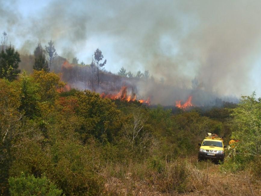
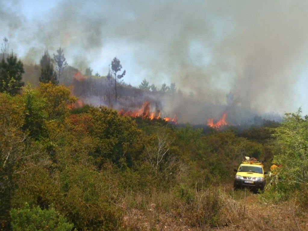
Prescribed burns are considered as the intentional ignition of grass, shrub, or forest fuels for specific purposes according to predetermined conditions. Its objectives are fuel reduction, regeneration of plant species, and control of diseases.
2.2 Detailed description of the Technology
Description:
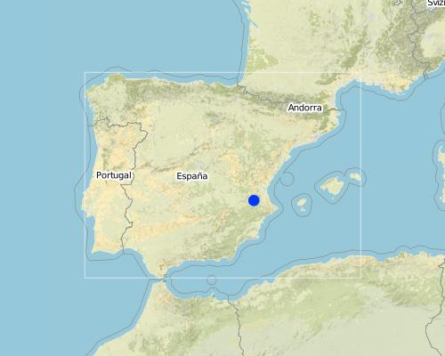
Prescribed fires as a management tool is planned to be set up in shrubland areas of the Caroig mountain range, Valencia.
Purpose of the Technology: Main purpose is reduce fuel load that increases fire risk hazard in the area.
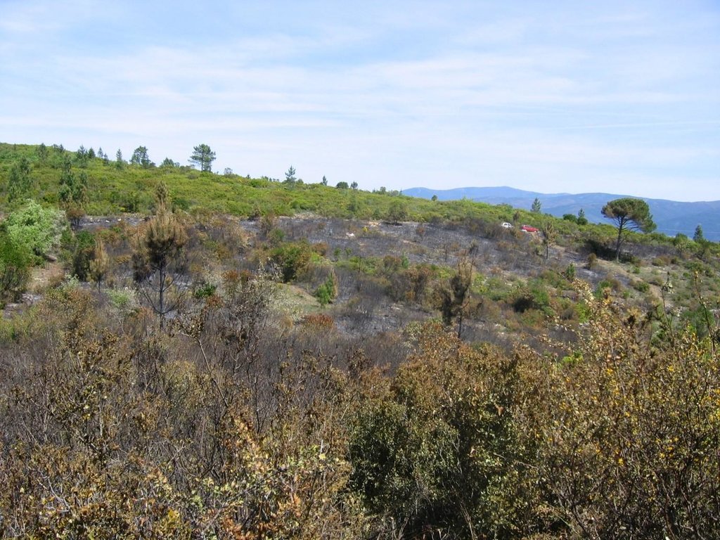
The research team of the University of Valencia will implement an experiment based on the sediment fences technique to capture and measure post-fire soil losses in a landscape burned by the prescribed fire technique.
Establishment / maintenance activities and inputs: Climate (less than 30 meter/second wind speed, less than 30 Celsius degree, and air moisture higher than 30%) and vegetation conditions must to be reached for the prescribed fire application.
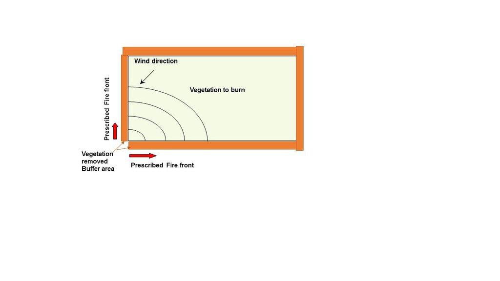
The delimitation and removing vegetation around the burned area must be achieved in order to reduce fire spread.
Natural / human environment: The Aleppo pine trees in the region are typically planted as monoculture for wood production. The landscape reflects a long history of intense land management, with a mosaic of (semi-) natural and man-made agricultural (terraces), shrublands and afforested lands. Since the 1970´s, however, wildfires have increased dramatically in frequency and extent, driven primarily by socio-economic changes.
2.3 Photos of the Technology
2.5 Country/ region/ locations where the Technology has been applied and which are covered by this assessment
Country:
Spain
Region/ State/ Province:
Spain
Further specification of location:
Valencia
Map
×3. Classification of the SLM Technology
3.2 Current land use type(s) where the Technology is applied

Forest/ woodlands
Products and services:
- Timber
- Fuelwood
- Fruits and nuts
- Other forest products
- Grazing/ browsing
- Nature conservation/ protection
- Recreation/ tourism
- Protection against natural hazards
Comments:
Major land use problems (compiler’s opinion): When wildfire, it is expected a runoff and soil erosion increase, resulting in a decrease of on-site fertility and derived off-site effects such as loss of water quality, reservoirs water volume storage, higher risk of flooding and human beings damage. The prescribed fire application will help to reduce fire risk hazard.
Major land use problems (land users’ perception): Loss of wood resources.
Plantation forestry: Aleppo pine plantation
3.3 Further information about land use
Number of growing seasons per year:
- 1
Specify:
Longest growing period in days: 180
3.4 SLM group to which the Technology belongs
- natural and semi-natural forest management
- forest plantation management
- ecosystem-based disaster risk reduction
3.5 Spread of the Technology
Specify the spread of the Technology:
- evenly spread over an area
If the Technology is evenly spread over an area, indicate approximate area covered:
- < 0.1 km2 (10 ha)
Comments:
Prescribed fires as a tool to manage forest fuel load and reduce fire risk hazard.
3.6 SLM measures comprising the Technology

vegetative measures
- V3: Clearing of vegetation
Comments:
Main measures: vegetative measures
3.7 Main types of land degradation addressed by the Technology

biological degradation
- Bf: detrimental effects of fires
Comments:
Main type of degradation addressed: Bf: detrimental effects of fires
Main causes of degradation: deforestation / removal of natural vegetation (incl. forest fires) (Afforestation monoculture of pine species, lead the environment to a high fire risk.), droughts (Summer droughts in mediterranean areas increase fire risk.), population pressure (depopulation leads to land abandonment and thus increase of fire risk)
3.8 Prevention, reduction, or restoration of land degradation
Specify the goal of the Technology with regard to land degradation:
- prevent land degradation
Comments:
Main goals: prevention of land degradation
4. Technical specifications, implementation activities, inputs, and costs
4.1 Technical drawing of the Technology
Author:
González-Pelayo, Oscar, University of Valencia. Dept. of Geography. Blasco Ibañes, 28, 46010, Valencia, Spain
4.2 Technical specifications/ explanations of technical drawing
Delimitation of the area to be burnt is the first step. Then, a buffer area where vegetation is removed is mandatory. Opposite to wind direction and slope, the prescribed fire must to be applied.
Location: Ayora. Valencia, Spain
Date: 06-03-2014
Technical knowledge required for field staff / advisors: high (To develop Prescribed fires, it is needed a high quality formation for this purpose.)
Technical knowledge required for land users: moderate
Main technical functions: control of fires, reduction of dry material (fuel for wildfires)
Vegetative measure: Prescribed fire
Vegetative material: T : trees / shrubs
Vegetative measure: Vegetative material: T : trees / shrubs
Vegetative measure: Vegetative material: T : trees / shrubs
Vegetative measure: Vegetative material: T : trees / shrubs
5. Natural and human environment
5.1 Climate
Annual rainfall
- < 250 mm
- 251-500 mm
- 501-750 mm
- 751-1,000 mm
- 1,001-1,500 mm
- 1,501-2,000 mm
- 2,001-3,000 mm
- 3,001-4,000 mm
- > 4,000 mm
Specifications/ comments on rainfall:
Mediterranean climate with concentred precipitation in february-may and september-december months. Drought from june to september
Agro-climatic zone
- sub-humid
- semi-arid
Thermal climate class: temperate (transition zone between semiarid and subhumid)
5.2 Topography
Slopes on average:
- flat (0-2%)
- gentle (3-5%)
- moderate (6-10%)
- rolling (11-15%)
- hilly (16-30%)
- steep (31-60%)
- very steep (>60%)
Landforms:
- plateau/plains
- ridges
- mountain slopes
- hill slopes
- footslopes
- valley floors
Altitudinal zone:
- 0-100 m a.s.l.
- 101-500 m a.s.l.
- 501-1,000 m a.s.l.
- 1,001-1,500 m a.s.l.
- 1,501-2,000 m a.s.l.
- 2,001-2,500 m a.s.l.
- 2,501-3,000 m a.s.l.
- 3,001-4,000 m a.s.l.
- > 4,000 m a.s.l.
Indicate if the Technology is specifically applied in:
- not relevant
Comments and further specifications on topography:
Altitudinal zone: 501-1000 m a.s.l. (650-700 meters)
Slopes on average: Rolling (11-15%) (Maximum angle on which the technology could be applied)
5.3 Soils
Soil depth on average:
- very shallow (0-20 cm)
- shallow (21-50 cm)
- moderately deep (51-80 cm)
- deep (81-120 cm)
- very deep (> 120 cm)
Soil texture (topsoil):
- medium (loamy, silty)
Topsoil organic matter:
- high (>3%)
If available, attach full soil description or specify the available information, e.g. soil type, soil PH/ acidity, Cation Exchange Capacity, nitrogen, salinity etc.
Soil depth on average: very shallow (leptosols) and shallow (Cambisols)
Soil fertility is medium
Soil drainage/infiltration is medium
Soil water storage capacity is high
5.4 Water availability and quality
Ground water table:
5-50 m
Availability of surface water:
poor/ none
Water quality (untreated):
for agricultural use only (irrigation)
5.5 Biodiversity
Species diversity:
- medium
5.7 Average area of land owned or leased by land users applying the Technology
- < 0.5 ha
- 0.5-1 ha
- 1-2 ha
- 2-5 ha
- 5-15 ha
- 15-50 ha
- 50-100 ha
- 100-500 ha
- 500-1,000 ha
- 1,000-10,000 ha
- > 10,000 ha
5.8 Land ownership, land use rights, and water use rights
Land ownership:
- state
Land use rights:
- open access (unorganized)
5.9 Access to services and infrastructure
health:
- poor
- moderate
- good
education:
- poor
- moderate
- good
technical assistance:
- poor
- moderate
- good
employment (e.g. off-farm):
- poor
- moderate
- good
markets:
- poor
- moderate
- good
energy:
- poor
- moderate
- good
roads and transport:
- poor
- moderate
- good
drinking water and sanitation:
- poor
- moderate
- good
financial services:
- poor
- moderate
- good
6. Impacts and concluding statements
6.1 On-site impacts the Technology has shown
Socio-economic impacts
Production
wood production
Ecological impacts
Soil
soil loss
Biodiversity: vegetation, animals
plant diversity
Climate and disaster risk reduction
fire risk
6.2 Off-site impacts the Technology has shown
downstream flooding
6.7 Strengths/ advantages/ opportunities of the Technology
| Strengths/ advantages/ opportunities in the land user’s view |
|---|
| Reduce fire risk. |
| Strengths/ advantages/ opportunities in the compiler’s or other key resource person’s view |
|---|
|
Prescribed fire technique allows to reduce fire risk hazard in forest plantations, increase diversity through introduction of local species. How can they be sustained / enhanced? It could be enhanced by the pre selection of areas in a mosaic pattern that are suitable to be burned by the prescribed fire technique. |
6.8 Weaknesses/ disadvantages/ risks of the Technology and ways of overcoming them
| Weaknesses/ disadvantages/ risks in the land user’s view | How can they be overcome? |
|---|---|
| Lack of vegetation, aesthetic reasons |
| Weaknesses/ disadvantages/ risks in the compiler’s or other key resource person’s view | How can they be overcome? |
|---|---|
| Good prescribed fire practises has no disadvantages since fire is part of the mediterranean ecosystem. |
Links and modules
Expand all Collapse allLinks
No links
Modules
No modules


