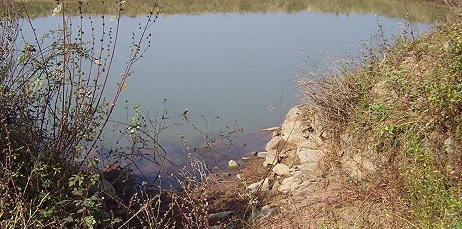
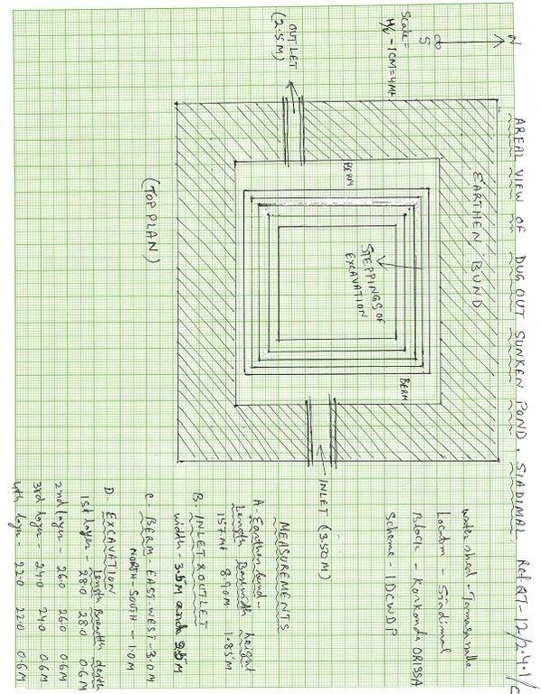
Dugout sunken pond showing inlet system (Majhi Gajedra, Malkangiri, Ori)
(1) Total size of the project area = 4.75 Ha.
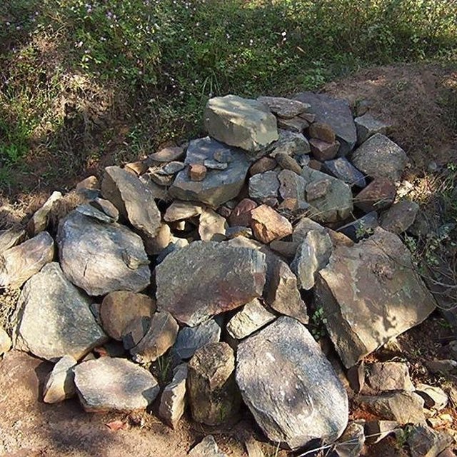
(2) Different structures taken up in the project area are
(i) Brushwood check dam- 6 Nos.
(ii) Drop structure- 8 Nos.
(iii) Dugout sunken pond - 1 No.
(3) All the above structures were positioned to ridge to valley treatment
(Ref.QT-6/2.1.2/a)
Purpose of the Technology: 1) Storage of runoff for cattle and human use.
2) Construction of structures to check soil erosion and sand casting.
3) Pisciculture.
Establishment / maintenance activities and inputs: Establishment :-
1) SWC specialist selected sites for dugout sunken pond, layout the design.
2) SWC specialist also selected sites for drop structures, brushwood check
dams in gullied portion of project area with reference to vertical interval
of slope gradient and space between structures.
3) The execution of work were done by concerned villagers on payment basis.
4) During execution, 20% of the total cost of the dugout sunken pond was
contributed by the villagers in shape of labour.
5) Training on technical know how imparted to the villagrs during execution
of pond, bund, drop structure and brush wood check dam.
Maintenance:-
1) The dugout sunken pond requires (a) Desiltation once in two years (b)
Repair of earthern bund around inlet and outlet every year.
2) The drop structure & brushwood check dams requires little maintenance when
ever requires.
3) One management group has formed in the same village & funds has been
raised by doing pisciculture in the pond.
4) The management group is taking major reponsibility for its maintenance.
Natural / human environment: (1) Drainage line stablilized (2) Adjuscant area cultivated (3) Users group
formed and pisciculture taken up for the Ist time in the village.
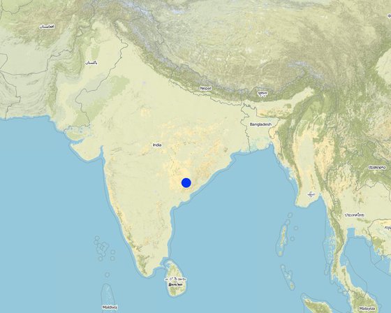
الموقع: Orissa/ Malkangiri, Orissa, الهند
عدد مواقع تنفيذ التقنيةالتي تم تحليلها:
انتشار التقنية: منتشرة بالتساوي على مساحة (0.0475 km²)
في منطقة محمية بشكل دائم؟:
تاريخ التنفيذ: منذ أقل من 10 سنوات (مؤخرًا)
نوع التقديم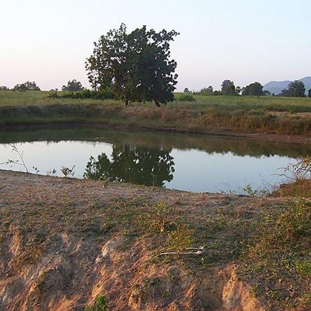


| تحديد المدخلات | الوحدة | الكمية | التكاليف لكل وحدة (Rupee) | إجمالي التكاليف لكل مدخل (Rupee) | % من التكاليف التي يتحملها مستخدمو الأراضي |
| العمالة | |||||
| Labour | ha | 1,0 | 225,0 | 225,0 | 14,0 |
| معدات | |||||
| Animal traction | ha | 1,0 | 49,0 | 49,0 | |
| Tools | ha | 1,0 | 4,0 | 4,0 | |
| غير ذلك | |||||
| Royalty charges for stones | ha | 1,0 | 6,0 | 6,0 | |
| Fishery and feed | ha | 1,0 | 9,0 | 9,0 | |
| Field bunding | ha | 1,0 | 73,0 | 73,0 | 100,0 |
| Water way | ha | 1,0 | 6,0 | 6,0 | 100,0 |
| إجمالي تكاليف إنشاء التقنية | 372.0 | ||||
| إجمالي تكاليف إنشاء التقنية بالدولار الأمريكي | 8.27 | ||||
| تحديد المدخلات | الوحدة | الكمية | التكاليف لكل وحدة (Rupee) | إجمالي التكاليف لكل مدخل (Rupee) | % من التكاليف التي يتحملها مستخدمو الأراضي |
| العمالة | |||||
| Labour | ha | 1,0 | 18,0 | 18,0 | 100,0 |
| غير ذلك | |||||
| Field bunding | ha | 1,0 | 2,0 | 2,0 | 100,0 |
| Water way | ha | 1,0 | 1,0 | 1,0 | 100,0 |
| إجمالي تكاليف صيانة التقنية | 21.0 | ||||
| إجمالي تكاليف صيانة التقنية بالدولار الأمريكي | 0.47 | ||||
Fish add to their income
Closure of land by pondage area
Pisciculture support to live stock, dirnking water for cattle
Management group formed and strengthened due to continurous income from pisciculture.
Training conducted
Due to different activities in the pond linkage to other institution has increased like Horticulture, Fishery etc.
الكمية قبل الإدارة المستدامة للأراضي: 90
الكمية بعد الإدارة المستدامة للأراضي: 40
Due to water storage
الكمية قبل الإدارة المستدامة للأراضي: 87
الكمية بعد الإدارة المستدامة للأراضي: 45


