Reforestation [إسبانيا]
- تاريخ الإنشاء:
- تحديث:
- جامع المعلومات: Artemi Cerda
- المحرر: –
- المُراجع: Fabian Ottiger
Reforestación
technologies_1267 - إسبانيا
عرض الأقسام
توسيع الكل طي الكل1. معلومات عامة
1.2 تفاصيل الاتصال بالأشخاص الرئيسيين لمصدر المعلومات والمؤسسات المشاركة في تقييم وتوثيق التقنية
متخصص في الإدارة المستدامة للأراضي:
اسم المؤسسة (المؤسسات) التي سهلت توثيق/تقييم التقنية (إذا كان ذلك على صلة)
Universidad de Valencia (Universidad de Valencia) - إسبانيا1.3 الشروط المتعلقة باستخدام البيانات الموثقة من خلال WOCAT
متى تم تجميع البيانات (ميدانيا)؟:
24/10/2014
يوافق جامع المعلومات والشخص (لاشخاص) الرئيسي لمصدر المعلومات على الشروط المتعلقة باستخدام البيانات الموثقة من خلال WOCAT:
نعم
2. وصف تقنيةالإدارة المستدامي للأراضي
2.1 وصف مختصر للتقنية
تعريف التقنية:
Reforestation refers to establishment of forest on land that had recent tree cover.
2.2 وصف تفصيلي للتقنية
الوصف:
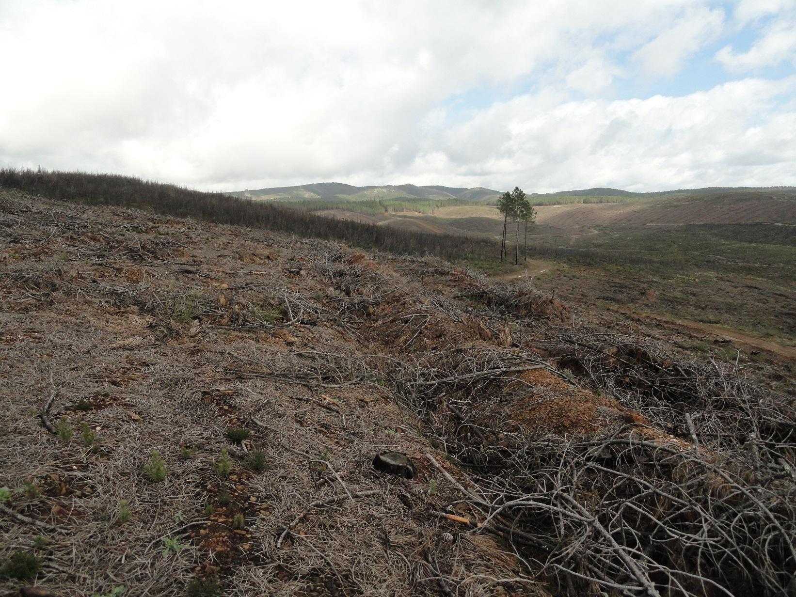
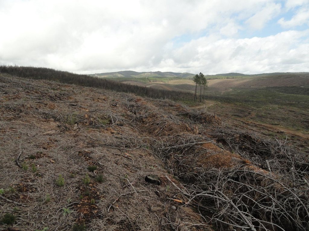
A wildfire is expected for summer 2015 in the Caroig mountain range. The area was afforested with Aleppo pines during the 20th century and nowadays the landscape is composed by mature Aleppo pines at different stages of development with shrub vegetation in the understorey.
Purpose of the Technology: The post-fire area is expected to be reforested with local shrubs species and Aleppo pines.
Perturbation by machinery when reforesting is expected to increase soil erosion.
The research team of the University of Valencia will implement an experiment based on the sediment fences technique to capture and measure post-fire soil losses in a reforested burned landscape.
Establishment / maintenance activities and inputs: Maintenance activity deals with the plantation scheme which includes man-power, machinery, access to remote areas and cost of plants, as main expenses.
Natural / human environment: The Aleppo pine trees in the region are typically planted as monoculture for wood production. The landscape reflects a long history of intense land management, with a mosaic of (semi-) natural and man-made agricultural (terraces) and afforested lands. Since the 1970´s, however, wildfires have increased dramatically in frequency and extent, driven primarily by socio-economic changes.
2.3 صور التقنية
2.5 البلد/المنطقة/المواقع التي تم تنفيذ التقنية فيها والتي يغطيها هذا التقييم
البلد:
إسبانيا
المنطقة/الولاية/المحافظة:
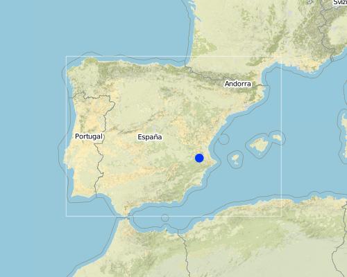
Spain
مزيد من التفاصيل حول الموقع:
Valencia
Map
×3. تصنيف تقنية الإدارة المستدامي للأراضي
3.2 نوع (أنواع) استخدام الأراضي الحالية حيث يتم تطبيق التقنية

الغابات/ الأراضي الحرجية
التعليقات:
Major land use problems (compiler’s opinion): It is expected that after a wildfire runoff and soil erosion will increase, resulting in a decrease of on-site fertility and derived off-site effects such as loss of water quality, soil water storage, higher risk of flooding and damage to human life.
Major land use problems (land users’ perception): Loss of wood resources.
Plantation forestry: Aleppo pine plantations
Forest products and services: timber, fuelwood, fruits and nuts, grazing / browsing, other forest products / uses (honey, medical, etc.), nature conservation / protection, recreation / tourism, protection against natural hazards
3.3 مزيد من المعلومات حول استخدام الأراضي
حدد:
Longest growing period in days: 180 Longest growing period from month to month: February to july
3.4 مجموعةالإدارة المستدامة للأراضي التي تنتمي إليها هذه التقنية
- إدارة الغابات الطبيعية وشبه الطبيعية
- الحد من مخاطر الكوارث بالاستناد على النظام البيئي
3.5 انتشار التقنية
التعليقات:
A wildfire is expected in the study area for summer 2015.
3.6 التدابير التقنية في مجال إلادارة المستدامة للأراضي

التدابير النباتية
- V1: غطاء من الأشجار والشجيرات

التدابير البنيوية
- S3: الخنادق المتدرجة ،والقنوات، والممرات المائية
التعليقات:
Main measures: vegetative measures, structural measures
Type of vegetative measures: aligned: -graded strips *<sup>3</sup>
3.7 الأنواع الرئيسية من تدهور الأراضي التي تناولتها التقنية

تآكل التربة بالمياه
- الوزن(Wt): فقدان التربة السطحية/تآكل السطح

التدهور البيولوجي
- (Bc): تناقص الغطاء النباتي
التعليقات:
Main type of degradation addressed: Wt: loss of topsoil / surface erosion
Secondary types of degradation addressed: Bc: reduction of vegetation cover
Main causes of degradation: deforestation / removal of natural vegetation (incl. forest fires) (forest fires), Heavy / extreme rainfall (intensity/amounts), droughts, population pressure (depopulation)
3.8 منع أو حد أو عكس تدهور الأراضي
تحديد هدف التقنية فيما يتعلق بتدهور الأراضي:
- اصلاح/إعادة تأهيل الأراضي المتدهورة بشدة
التعليقات:
Main goals: rehabilitation / reclamation of denuded land
Secondary goals: prevention of land degradation, mitigation / reduction of land degradation
4. المواصفات الفنية، وأنشطة التنفيذ، والمدخلات، والتكاليف
4.1 الرسم الفني للتقنية
المؤلف:
Gonzalez-Pelayo, O., University of Valencia. Dept. of Geography. Blasco Ibañez 28. 46010. Valencia. Spain
4.2 المواصفات الفنية/شروحات الرسم الفني
Bench terraces construction promotes water and sediment deposition and reduces slope lenght.
Location: Valencia. Spain
Date: 02-02-2014
Secondary technical functions: reduction of slope angle, reduction of slope length
Aligned: -graded strips
Vegetative material: T : trees / shrubs
Trees/ shrubs species: Aleppo pine, quercus ilex, quercus coccifera, pistacia lentiscus, rosmarinus officinalis
Grass species: brachypodium retusum
Bund/ bank: graded
Vertical interval between structures (m): 10
Spacing between structures (m): 3
Depth of ditches/pits/dams (m): 0.5
Width of ditches/pits/dams (m): 1
Length of ditches/pits/dams (m): 50
Construction material (earth): ripped soil surface by specialized machinery
4.8 أهم العوامل المؤثرة على التكاليف
قدم وصفا لأهم العوامل التي تؤثر على التكاليف:
Costs will be affected by slope angle, soil depth which reverts in manpower and specialized machinery.
5. البيئة الطبيعية والبشرية
5.1 المناخ
هطول الأمطار السنوي
- < 250 مم
- 251- 500 ملم
- 501 - 750ملم
- 1,000-751 ملم
- 1,500-1,100 ملم
- 2,000-1,500 ملم
- 3,000-2,001 ملم
- 4,000-3,100 ملم
- > 4000 ملم
المواصفات/التعليقات على هطول الأمطار:
Mediterranean climate with concentred precipitation in february-may and september-december months. Drought from june to september
المنطقة المناخية الزراعية
- شبه رطبة
- شبه قاحلة
Thermal climate class: temperate (Transition zone between smi-arid and sub-humid)
5.2 طوبوغرافيا
متوسط الانحدارات:
- مسطح (0-2%)
- بسيط (3-5%)
- معتدل (6-10%)
- متدحرج (11-15%)
- تلال (16-30%)
- شديدة الانحدار(31-60%)
- فائقة الانحدار (>60%)
التضاريس:
- هضاب/سهول
- أثلام مرتفعة
- المنحدرات الجبلية
- منحدرات التلال
- منحدرات في السفوح
- قاع الوادي
المنطقة الارتفاعية:
- 100-0 متر فوق سطح البحر
- 500-101 متر فوق سطح البحر
- 1,000-501 متر فوق سطح البحر
- 1,500-1,001 متر فوق سطح البحر
- 2,000-1,501 متر فوق سطح البحر
- 2,500-2,100 متر فوق سطح البحر
- 3,000-2,501 متر فوق سطح البحر
- 4,000-3,001 متر فوق سطح البحر
- > 4000 متر فوق سطح البحر
التعليقات والمواصفات الإضافية بشأن التضاريس:
Landforms: Also footslopes
Altitudinal zone: 501-1000 m a.s.l. (650-700 metres above sea level)
5.3 التربة
متوسط عمق التربة:
- ضحل جدًا (0-20 سم)
- ضحلة (21-50 سم)
- متوسطة العمق (51-80 سم)
- عميقة (81-120 سم)
- عميقة جدًا (> 120 سم)
قوام التربة (التربة السطحية):
- متوسط ( طميي، سلتي)
المواد العضوية في التربة السطحية:
- عالية (>3%)
إذا كان متاحًا، قم بإرفاق وصف كامل للتربة أو تحديد المعلومات المتوفرة، على سبيل المثال نوع التربة، الرقم الهيدروجيني/ درجة حموضة التربة، قدرة التبادل الكاتيوني، النيتروجين، الملوحة وما إلى ذلك.
Soil depth on average: Very shallow(Leptool) and shallow (Cambiosol)
Soil fertility is medium
Soil drainage/infiltration is medium
Soil water storage capacity is high
5.4 توافر المياه ونوعيتها
منسوب المياه الجوفية:
50-5 م
توافر المياه السطحية:
ضعيف/ غير متوافر
نوعية المياه (غير المعالجة):
للاستخدام الزراعي فقط (الري)
تعليقات ومواصفات أخرى بشأن نوعية المياه وكميتها:
Availability of surface water: Poor/none (only when rainfalls)
5.5 التنوع البيولوجي
تنوع الأنواع:
- متوسط
5.7 متوسط مساحة الأرض المملوكة أو المستأجرة من قبل مستخدمي الأراضي الذين يطبقون التقنية
- < 0.5 هكتارا
- 0.5 - 1 هكتار
- 1 -2 هكتار
- 2 - 5 هكتار
- 5 - 15 هكتار
- 15 - 50 هكتار
- 50 - 100هكتار
- 500-100 هكتار
- 1,000-500 هكتار
- 10,000-1,000 هكتار
- > 10,000 هكتار
6. الآثار والتصريحات الختامية
6.1 الآثار التي أظهرتها التقنية في الموقع
الآثار الاجتماعية والاقتصادية
الإنتاج
إنتاج الخشب
الآثار الاجتماعية والثقافية
الفرص الترفيهية
الآثار الايكولوجية
التربة
فقدان التربة
التنوع البيولوجي: الغطاء النباتي، الحيوانات
الكتلة الحيوية/ طبقة الكربون فوق التربة
6.2 الآثار التي أظهرتها التقنية خارج الموقع
الرواسب المنقولة بواسطة الرياح
6.3 تعرض التقنية وحساسيتها لتغير المناخ التدريجي والظواهر المتطرفة/الكوارث المرتبطة بالمناخ (كما يراها مستخدمو الأراضي)
الظواهر المتطرفة / الكوارث المرتبطة بالمناخ
الكوارث الجوية
| كيف تتعامل التقنية مع ذلك؟ | |
|---|---|
| عاصفة ممطرة محلية | ليس جيدا |
6.7 نقاط القوة / المزايا / الفرص التي توفرها التقنية
| نقاط القوة/ المزايا/ الفرص من وجهة نظر مستخدمي الأراضي |
|---|
|
Local species and new tree plantations are seen as future local production. How can they be sustained / enhanced? Selecting local species. |
| نقاط القوة/ المزايا/ الفرص من وجهة نظر جامع المعلومات أو غيره من الاشخاص الرئيسيين لمصدر المعلومات |
|---|
|
Reforestation with local species must to be done based on a previous assessment of the fire effects on environment. Removing burned logs and planting trees and shrubs with heavy machinery could lead the system to a degradation stage instead of decrease soil losses. How can they be sustained / enhanced? It could be enhanced by the evaluation and preselection of areas suitable to be reforested. |
6.8 نقاط ضعف / مساوىء / مخاطر التقنية وسبل التغلب عليها
| نقاط الضعف/ المساوىء/ المخاطر من وجهة نظر جامع المعلومات أو غيره من الاشخاص الرئيسيين لمصدر المعلومات | كيف يمكن التغلب عليها؟ |
|---|---|
| Impacts of heavy machinery in a fragil post-fire environment. |
الروابط والوحدات المواضيعية
توسيع الكل طي الكلالروابط
لا يوجد روابط
الوحدات المواضيعية
لا يوجد وحدات مواضيعية


