-

Chipped branches (Spain)

Description

Chipped branch application on bare soil in order to prevent soil erosion, reduces overland flow, and increase the soil organic matter.

In a Persimmon crop area from Valencia (south-east Spain), the research team of the University of Valencia set up an experiment in order to test the effect of chipped branches lying on soil surface to avoid soil water erosion and improve soil properties.

Purpose of the Technology: The increase in ground cover will decrease soil erosion by reducing raindrop impact over the bare soil. Runoff amount also decrease by increasing water surface storage, decrease of runoff velocity, and increase infiltration. Its application must to be done after the pruning season and before Mediterranean high-storm events; namely end summer to early autumn, in order to protect raindrop impact and detached by bare

Establishment / maintenance activities and inputs: Chipped branches will be obtained after pruning and harvesting.

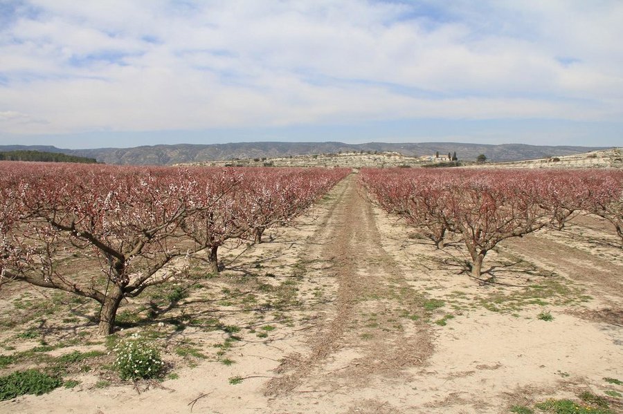
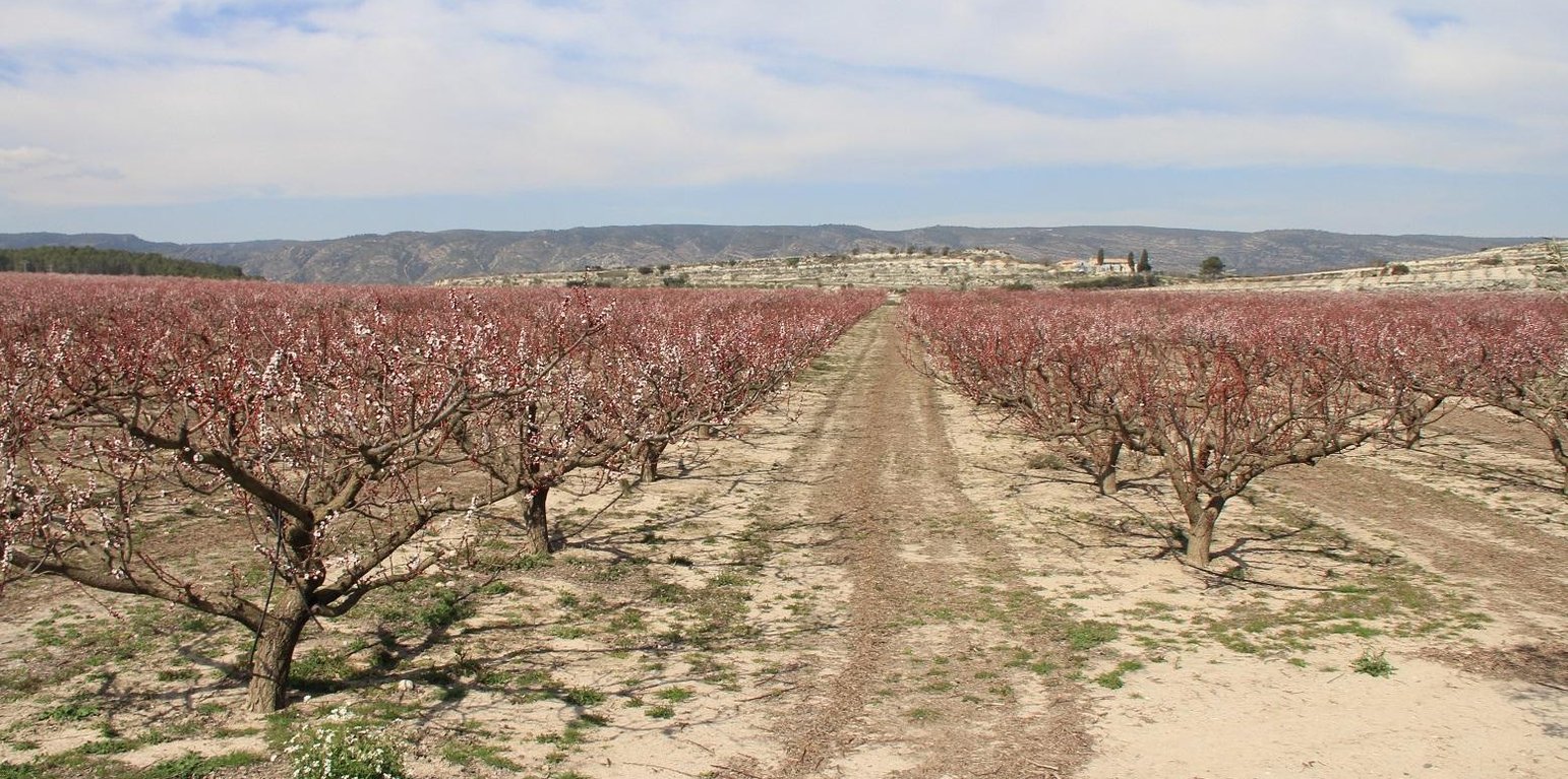
Natural / human environment: The persimmon production in the area has been implemented in recent dates due to the market prices. There has been a quick land use change from citrus orchards to persimmon orchards. The landscape reflects the long history of management where several constructions related with wine production depicted its importance on this region. Since the late 1960´s, chemical agriculture with use of fertilizers and herbicides, and new orchards plantations as Persimmon, lead to a seasonally bare soil surface, triggering huge erosion rates.

Location

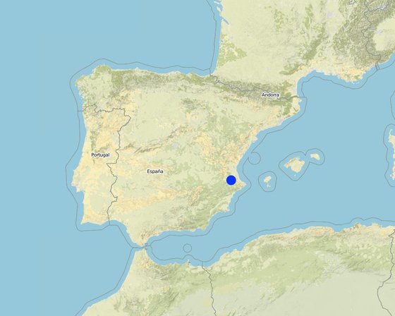
Location: Valencia, Spain, Spain

No. of Technology sites analysed:

Geo-reference of selected sites
  • -0.6193, 38.95261

Spread of the Technology:

Date of implementation:

Type of introduction

Classification of the Technology

Main purpose
  • improve production
  • reduce, prevent, restore land degradation
  • conserve ecosystem
  • protect a watershed/ downstream areas – in combination with other Technologies
  • preserve/ improve biodiversity
  • reduce risk of disasters
  • adapt to climate change/ extremes and its impacts
  • mitigate climate change and its impacts
  • create beneficial economic impact
  • create beneficial social impact
Land use

  • Cropland - Tree and shrub cropping
    Main crops (cash and food crops): persimmon, citrus

Water supply
  • rainfed
  • mixed rainfed-irrigated
  • full irrigation

Number of growing seasons per year: 1
Land use before implementation of the Technology: n.a.
Livestock density: n.a.

Purpose related to land degradation
  • prevent land degradation
  • reduce land degradation
  • restore/ rehabilitate severely degraded land
  • adapt to land degradation
  • not applicable
Degradation addressed
  • soil erosion by water - Wt: loss of topsoil/ surface erosion
SLM group
  • improved ground/ vegetation cover
SLM measures
  • agronomic measures - A1: Vegetation/ soil cover, A2: Organic matter/ soil fertility
  • vegetative measures - V1: Tree and shrub cover
  • management measures - M2: Change of management/ intensity level

Technical drawing

Technical specifications
Author: Artemio Cerdà, University of Valencia. Dept. of Geography
Chipped branches must be spread homogeneously in bare soil areas between trees lines in order to keep as much as possible the soil covered.

Location: Valencia. Spain
Date: 09/03/2015

Main technical functions: control of raindrop splash, control of dispersed runoff: retain / trap, improvement of ground cover, increase of surface roughness, increase in organic matter, sediment retention / trapping, sediment harvesting
Secondary technical functions: control of dispersed runoff: impede / retard, control of concentrated runoff: retain / trap, control of concentrated runoff: impede / retard, control of concentrated runoff: drain / divert, reduction of slope angle, reduction of slope length, improvement of surface structure (crusting, sealing), improvement of topsoil structure (compaction), improvement of subsoil structure (hardpan), stabilisation of soil (eg by tree roots against land slides), increase in nutrient availability (supply, recycling,…), increase of infiltration, increase / maintain water stored in soil, increase of groundwater level / recharge of groundwater, water harvesting / increase water supply, water spreading, improvement of water quality, buffering / filtering water, reduction in wind speed, increase of biomass (quantity), promotion of vegetation species and varieties (quality, eg palatable fodder), control of fires, reduction of dry material (fuel for wildfires), spatial arrangement and diversification of land use

Change of land use practices / intensity level: New practices must be implemented through the application on the chipped branches on bare soil areas.

Establishment and maintenance: activities, inputs and costs

Calculation of inputs and costs
  • Costs are calculated:
  • Currency used for cost calculation: n.a.
  • Exchange rate (to USD): 1 USD = n.a
  • Average wage cost of hired labour per day: n.a
Most important factors affecting the costs
n.a.
Establishment activities
n.a.
Maintenance activities
n.a.

Natural environment

Average annual rainfall
  • < 250 mm
  • 251-500 mm
  • 501-750 mm
  • 751-1,000 mm
  • 1,001-1,500 mm
  • 1,501-2,000 mm
  • 2,001-3,000 mm
  • 3,001-4,000 mm
  • > 4,000 mm
Agro-climatic zone
  • humid
  • sub-humid
  • semi-arid
  • arid
Specifications on climate
Mediterranean climate with concentred precipitation in february-may and september-december months. Drought from june to september
Thermal climate class: temperate (Transition zone between semiarid and subhumid)
Slope
  • flat (0-2%)
  • gentle (3-5%)
  • moderate (6-10%)
  • rolling (11-15%)
  • hilly (16-30%)
  • steep (31-60%)
  • very steep (>60%)
Landforms
  • plateau/plains
  • ridges
  • mountain slopes
  • hill slopes
  • footslopes
  • valley floors
Altitude
  • 0-100 m a.s.l.
  • 101-500 m a.s.l.
  • 501-1,000 m a.s.l.
  • 1,001-1,500 m a.s.l.
  • 1,501-2,000 m a.s.l.
  • 2,001-2,500 m a.s.l.
  • 2,501-3,000 m a.s.l.
  • 3,001-4,000 m a.s.l.
  • > 4,000 m a.s.l.
Technology is applied in
  • convex situations
  • concave situations
  • not relevant
Soil depth
  • very shallow (0-20 cm)
  • shallow (21-50 cm)
  • moderately deep (51-80 cm)
  • deep (81-120 cm)
  • very deep (> 120 cm)
Soil texture (topsoil)
  • coarse/ light (sandy)
  • medium (loamy, silty)
  • fine/ heavy (clay)
Soil texture (> 20 cm below surface)
  • coarse/ light (sandy)
  • medium (loamy, silty)
  • fine/ heavy (clay)
Topsoil organic matter content
  • high (>3%)
  • medium (1-3%)
  • low (<1%)
Groundwater table
  • on surface
  • < 5 m
  • 5-50 m
  • > 50 m
Availability of surface water
  • excess
  • good
  • medium
  • poor/ none
Water quality (untreated)
  • good drinking water
  • poor drinking water (treatment required)
  • for agricultural use only (irrigation)
  • unusable
Is salinity a problem?
  • Yes
  • No

Occurrence of flooding
  • Yes
  • No
Species diversity
  • high
  • medium
  • low
Habitat diversity
  • high
  • medium
  • low

Characteristics of land users applying the Technology

Market orientation
  • subsistence (self-supply)
  • mixed (subsistence/ commercial
  • commercial/ market
Off-farm income
  • less than 10% of all income
  • 10-50% of all income
  • > 50% of all income
Relative level of wealth
  • very poor
  • poor
  • average
  • rich
  • very rich
Level of mechanization
  • manual work
  • animal traction
  • mechanized/ motorized
Sedentary or nomadic
  • Sedentary
  • Semi-nomadic
  • Nomadic
Individuals or groups
  • individual/ household
  • groups/ community
  • cooperative
  • employee (company, government)
Gender
  • women
  • men
Age
  • children
  • youth
  • middle-aged
  • elderly
Area used per household
  • < 0.5 ha
  • 0.5-1 ha
  • 1-2 ha
  • 2-5 ha
  • 5-15 ha
  • 15-50 ha
  • 50-100 ha
  • 100-500 ha
  • 500-1,000 ha
  • 1,000-10,000 ha
  • > 10,000 ha
Scale
  • small-scale
  • medium-scale
  • large-scale
Land ownership
  • state
  • company
  • communal/ village
  • group
  • individual, not titled
  • individual, titled
Land use rights
  • open access (unorganized)
  • communal (organized)
  • leased
  • individual
Water use rights
  • open access (unorganized)
  • communal (organized)
  • leased
  • individual
Access to services and infrastructure
health

poor
good
education

poor
good
technical assistance

poor
good
employment (e.g. off-farm)

poor
good
markets

poor
good
energy

poor
good
roads and transport

poor
good
drinking water and sanitation

poor
good
financial services

poor
good

Impacts

Socio-economic impacts
Socio-cultural impacts
SLM/ land degradation knowledge
reduced
improved

Ecological impacts
surface runoff
increased
decreased

soil moisture
decreased
increased

soil cover
reduced
improved

soil loss
increased
decreased

soil crusting/ sealing
increased
reduced

soil compaction
increased
reduced

soil organic matter/ below ground C
decreased
increased

Off-site impacts
downstream flooding (undesired)
increased
reduced

downstream siltation
increased
decreased

wind transported sediments
increased
reduced

Cost-benefit analysis

Benefits compared with establishment costs
Benefits compared with maintenance costs

Climate change

Gradual climate change
annual temperature increase

not well at all
very well
Answer: not known
Climate-related extremes (disasters)
local rainstorm

not well at all
very well
local windstorm

not well at all
very well
Answer: not known
drought

not well at all
very well
general (river) flood

not well at all
very well
Answer: not known
Other climate-related consequences
reduced growing period

not well at all
very well
Answer: not known

Adoption and adaptation

Percentage of land users in the area who have adopted the Technology
  • single cases/ experimental
  • 1-10%
  • 10-50%
  • more than 50%
Of all those who have adopted the Technology, how many have done so without receiving material incentives?
  • 0-10%
  • 10-50%
  • 50-90%
  • 90-100%
Has the Technology been modified recently to adapt to changing conditions?
  • Yes
  • No
To which changing conditions?
  • climatic change/ extremes
  • changing markets
  • labour availability (e.g. due to migration)

Conclusions and lessons learnt

Strengths: land user's view
  • Use of the chipped branches as a treatment to cover soil and decrease erosion. It also keep higher soil moisture levels.
Strengths: compiler’s or other key resource person’s view
  • It is a technology very easy to apply, with low failure possibilities and a strong soil erosion control and local soil properties improvement.
  • It will prevent sediment movement and accumulation over roads and down slope properties and values at risk.
Weaknesses/ disadvantages/ risks: land user's viewhow to overcome
  • The use of specific machinery to produce chipped branches.
Weaknesses/ disadvantages/ risks: compiler’s or other key resource person’s viewhow to overcome
  • A low application rate must be enough to decrease erosion. Testing different application rates to decrease soil-water erosion.

References

Compiler
  • Artemi Cerda
Editors
Reviewer
  • Fabian Ottiger
  • Alexandra Gavilano
Date of documentation: June 12, 2015
Last update: July 31, 2019
Resource persons
Full description in the WOCAT database
Linked SLM data
Documentation was faciliated by
Institution Project
This work is licensed under Creative Commons Attribution-NonCommercial-ShareaAlike 4.0 International