Abandoned Terraces (Artemi Cerdà)

Reforestation (Spain)

Reforestación

Description

Reforestation refers to establishment of forest on land that had recent tree cover.

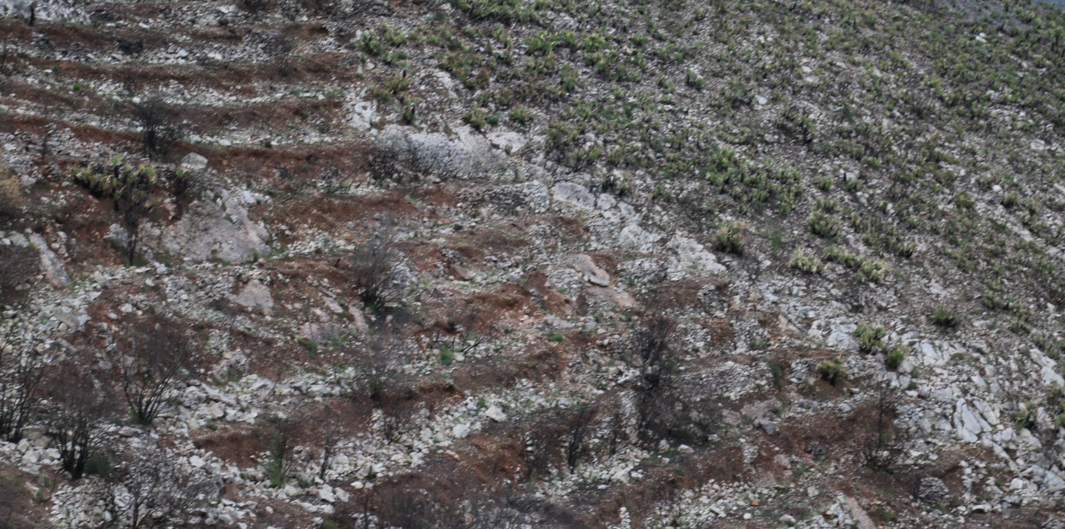
A wildfire is expected for summer 2015 in the Caroig mountain range. The area was afforested with Aleppo pines during the 20th century and nowadays the landscape is composed by mature Aleppo pines at different stages of development with shrub vegetation in the understorey.

Purpose of the Technology: The post-fire area is expected to be reforested with local shrubs species and Aleppo pines.
Perturbation by machinery when reforesting is expected to increase soil erosion.
The research team of the University of Valencia will implement an experiment based on the sediment fences technique to capture and measure post-fire soil losses in a reforested burned landscape.

Establishment / maintenance activities and inputs: Maintenance activity deals with the plantation scheme which includes man-power, machinery, access to remote areas and cost of plants, as main expenses.

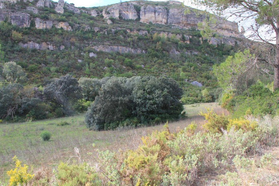
Natural / human environment: The Aleppo pine trees in the region are typically planted as monoculture for wood production. The landscape reflects a long history of intense land management, with a mosaic of (semi-) natural and man-made agricultural (terraces) and afforested lands. Since the 1970´s, however, wildfires have increased dramatically in frequency and extent, driven primarily by socio-economic changes.

Location

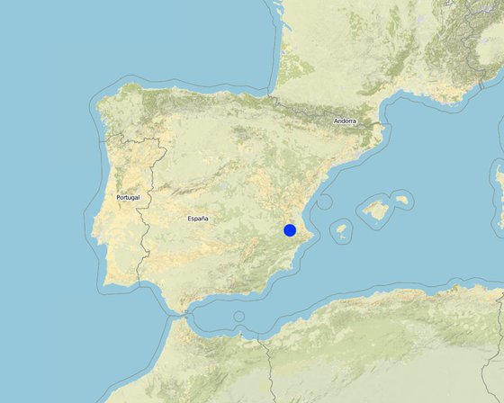
Location: Valencia, Spain, Spain

No. of Technology sites analysed: single site

Geo-reference of selected sites
  • -0.83973, 38.9343

Spread of the Technology: evenly spread over an area (approx. 10-100 km2)

Date of implementation: less than 10 years ago (recently)

Type of introduction
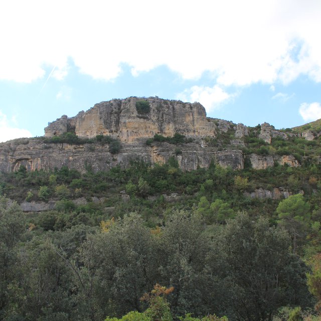
abandonment (Artemi Cerdà)

Classification of the Technology

Main purpose
  • improve production
  • reduce, prevent, restore land degradation
  • conserve ecosystem
  • protect a watershed/ downstream areas – in combination with other Technologies
  • preserve/ improve biodiversity
  • reduce risk of disasters
  • adapt to climate change/ extremes and its impacts
  • mitigate climate change and its impacts
  • create beneficial economic impact
  • create beneficial social impact
Land use

  • Forest/ woodlands - Tree plantation, afforestation: Monoculture local variety
    other (specify): Aleppo pines
    Products and services: Timber, Fuelwood, Fruits and nuts, Other forest products, Grazing/ browsing, Nature conservation/ protection, Recreation/ tourism, Protection against natural hazards
  • Unproductive land - Specify: shrub vegetation: quercus ilex, quercus coccifera, pistacia lentiscus, rosmarinus officinalis; Grass species: brachypodium retusum

Water supply
  • rainfed
  • mixed rainfed-irrigated
  • full irrigation

Number of growing seasons per year: 1
Land use before implementation of the Technology: n.a.
Livestock density: n.a.

Purpose related to land degradation
  • prevent land degradation
  • reduce land degradation
  • restore/ rehabilitate severely degraded land
  • adapt to land degradation
  • not applicable
Degradation addressed
  • soil erosion by water - Wt: loss of topsoil/ surface erosion
  • biological degradation - Bc: reduction of vegetation cover
SLM group
  • natural and semi-natural forest management
  • ecosystem-based disaster risk reduction
SLM measures
  • vegetative measures - V1: Tree and shrub cover
  • structural measures - S3: Graded ditches, channels, waterways

Technical drawing

Technical specifications
Author: ARtemi Cerdà
Bench terraces construction promotes water and sediment deposition and reduces slope lenght.

Location: Valencia. Spain
Date: 02-02-2014

Secondary technical functions: reduction of slope angle, reduction of slope length

Aligned: -graded strips
Vegetative material: T : trees / shrubs
Trees/ shrubs species: Aleppo pine, quercus ilex, quercus coccifera, pistacia lentiscus, rosmarinus officinalis
Grass species: brachypodium retusum

Bund/ bank: graded
Vertical interval between structures (m): 10
Spacing between structures (m): 3
Depth of ditches/pits/dams (m): 0.5
Width of ditches/pits/dams (m): 1
Length of ditches/pits/dams (m): 50

Construction material (earth): ripped soil surface by specialized machinery

Establishment and maintenance: activities, inputs and costs

Calculation of inputs and costs
  • Costs are calculated: per Technology area
  • Currency used for cost calculation: US Dollars
  • Exchange rate (to USD): 1 USD = n.a
  • Average wage cost of hired labour per day: n.a
Most important factors affecting the costs
Costs will be affected by slope angle, soil depth which reverts in manpower and specialized machinery.
Establishment activities
  1. Abandonment (Timing/ frequency: 10 years)
Establishment inputs and costs
Specify input Unit Quantity Costs per Unit (US Dollars) Total costs per input (US Dollars) % of costs borne by land users
Labour
abandonment Person days
Maintenance activities
  1. no maintenances (Timing/ frequency: 0)
Maintenance inputs and costs
Specify input Unit Quantity Costs per Unit (US Dollars) Total costs per input (US Dollars) % of costs borne by land users
Labour
visits to the field 1.0

Natural environment

Average annual rainfall
  • < 250 mm
  • 251-500 mm
  • 501-750 mm
  • 751-1,000 mm
  • 1,001-1,500 mm
  • 1,501-2,000 mm
  • 2,001-3,000 mm
  • 3,001-4,000 mm
  • > 4,000 mm
Agro-climatic zone
  • humid
  • sub-humid
  • semi-arid
  • arid
Specifications on climate
Mediterranean climate with concentred precipitation in february-may and september-december months. Drought from june to september
Thermal climate class: temperate (Transition zone between smi-arid and sub-humid)
Slope
  • flat (0-2%)
  • gentle (3-5%)
  • moderate (6-10%)
  • rolling (11-15%)
  • hilly (16-30%)
  • steep (31-60%)
  • very steep (>60%)
Landforms
  • plateau/plains
  • ridges
  • mountain slopes
  • hill slopes
  • footslopes
  • valley floors
Altitude
  • 0-100 m a.s.l.
  • 101-500 m a.s.l.
  • 501-1,000 m a.s.l.
  • 1,001-1,500 m a.s.l.
  • 1,501-2,000 m a.s.l.
  • 2,001-2,500 m a.s.l.
  • 2,501-3,000 m a.s.l.
  • 3,001-4,000 m a.s.l.
  • > 4,000 m a.s.l.
Technology is applied in
  • convex situations
  • concave situations
  • not relevant
Soil depth
  • very shallow (0-20 cm)
  • shallow (21-50 cm)
  • moderately deep (51-80 cm)
  • deep (81-120 cm)
  • very deep (> 120 cm)
Soil texture (topsoil)
  • coarse/ light (sandy)
  • medium (loamy, silty)
  • fine/ heavy (clay)
Soil texture (> 20 cm below surface)
  • coarse/ light (sandy)
  • medium (loamy, silty)
  • fine/ heavy (clay)
Topsoil organic matter content
  • high (>3%)
  • medium (1-3%)
  • low (<1%)
Groundwater table
  • on surface
  • < 5 m
  • 5-50 m
  • > 50 m
Availability of surface water
  • excess
  • good
  • medium
  • poor/ none
Water quality (untreated)
  • good drinking water
  • poor drinking water (treatment required)
  • for agricultural use only (irrigation)
  • unusable
Is salinity a problem?
  • Yes
  • No

Occurrence of flooding
  • Yes
  • No
Species diversity
  • high
  • medium
  • low
Habitat diversity
  • high
  • medium
  • low

Characteristics of land users applying the Technology

Market orientation
  • subsistence (self-supply)
  • mixed (subsistence/ commercial
  • commercial/ market
Off-farm income
  • less than 10% of all income
  • 10-50% of all income
  • > 50% of all income
Relative level of wealth
  • very poor
  • poor
  • average
  • rich
  • very rich
Level of mechanization
  • manual work
  • animal traction
  • mechanized/ motorized
Sedentary or nomadic
  • Sedentary
  • Semi-nomadic
  • Nomadic
Individuals or groups
  • individual/ household
  • groups/ community
  • cooperative
  • employee (company, government)
Gender
  • women
  • men
Age
  • children
  • youth
  • middle-aged
  • elderly
Area used per household
  • < 0.5 ha
  • 0.5-1 ha
  • 1-2 ha
  • 2-5 ha
  • 5-15 ha
  • 15-50 ha
  • 50-100 ha
  • 100-500 ha
  • 500-1,000 ha
  • 1,000-10,000 ha
  • > 10,000 ha
Scale
  • small-scale
  • medium-scale
  • large-scale
Land ownership
  • state
  • company
  • communal/ village
  • group
  • individual, not titled
  • individual, titled
Land use rights
  • open access (unorganized)
  • communal (organized)
  • leased
  • individual
Water use rights
  • open access (unorganized)
  • communal (organized)
  • leased
  • individual
Access to services and infrastructure
health

poor
good
education

poor
good
technical assistance

poor
good
employment (e.g. off-farm)

poor
good
markets

poor
good
energy

poor
good
roads and transport

poor
good
drinking water and sanitation

poor
good
financial services

poor
good
None

poor
good

Impacts

Socio-economic impacts
wood production
decreased
increased

forest/ woodland quality
decreased
increased

Socio-cultural impacts
recreational opportunities
reduced
improved

SLM/ land degradation knowledge
reduced
improved

Ecological impacts
soil loss
increased
decreased

biomass/ above ground C
decreased
increased

Off-site impacts
wind transported sediments
increased
reduced

Cost-benefit analysis

Benefits compared with establishment costs
Short-term returns
very negative
very positive

Long-term returns
very negative
very positive

Benefits compared with maintenance costs
Short-term returns
very negative
very positive

Long-term returns
very negative
very positive

Climate change

Climate-related extremes (disasters)
local rainstorm

not well at all
very well

Adoption and adaptation

Percentage of land users in the area who have adopted the Technology
  • single cases/ experimental
  • 1-10%
  • 10-50%
  • more than 50%
Of all those who have adopted the Technology, how many have done so without receiving material incentives?
  • 0-10%
  • 10-50%
  • 50-90%
  • 90-100%
Has the Technology been modified recently to adapt to changing conditions?
  • Yes
  • No
To which changing conditions?
  • climatic change/ extremes
  • changing markets
  • labour availability (e.g. due to migration)

Conclusions and lessons learnt

Strengths: land user's view
  • Local species and new tree plantations are seen as future local production.
Strengths: compiler’s or other key resource person’s view
  • Reforestation with local species must to be done based on a previous assessment of the fire effects on environment. Removing burned logs and planting trees and shrubs with heavy machinery could lead the system to a degradation stage instead of decrease soil losses.
Weaknesses/ disadvantages/ risks: land user's viewhow to overcome
Weaknesses/ disadvantages/ risks: compiler’s or other key resource person’s viewhow to overcome
  • Impacts of heavy machinery in a fragil post-fire environment.

References

Compiler
  • Artemi Cerda
Editors
Reviewer
  • Fabian Ottiger
  • Deborah Niggli
  • Alexandra Gavilano
Date of documentation: June 15, 2015
Last update: July 23, 2019
Resource persons
Full description in the WOCAT database
Linked SLM data
Documentation was faciliated by
Institution Project
Key references
  • Francos, M., Úbeda, X., Tort, J., Panareda, J.M., Cerdà, A. 2016. The role of forest fire severity on vegetation recovery after 18 years. Implications for forest management of Quercus suber L. in Iberian Peninsula, Global and Planetary Change,145:11-16. http://dx.doi.org/10.1016/j.gloplacha.2016.07.016: internet
Links to relevant information which is available online
This work is licensed under Creative Commons Attribution-NonCommercial-ShareaAlike 4.0 International