Reclamation Saline Sodic soil [Sudan]
- Creation:
- Update:
- Compiler: Daniel Danano Dale
- Editor: –
- Reviewers: Alexandra Gavilano, David Streiff, Joana Eichenberger
Reclamation Saline Sodic soil
technologies_1307 - Sudan
View sections
Expand all Collapse all1. General information
1.2 Contact details of resource persons and institutions involved in the assessment and documentation of the Technology
Key resource person(s)
SLM specialist:
SLM specialist:
Omer Sara
SECS
Sudan
1.3 Conditions regarding the use of data documented through WOCAT
The compiler and key resource person(s) accept the conditions regarding the use of data documented through WOCAT:
Yes
1.5 Reference to Questionnaire(s) on SLM Approaches (documented using WOCAT)

soil reclamation and application of chemical and organic … [Sudan]
No description available.
- Compiler: Daniel Danano Dale
2. Description of the SLM Technology
2.1 Short description of the Technology
Definition of the Technology:
Physical and chemical treatment saline soil
2.2 Detailed description of the Technology
Description:
Physical amendment by loam soil or adding agricultural gypsum which represents the chemical ammendment
Purpose of the Technology: Generate soil suitable for different kinds of plants creating a diversity in sources of income providing a safety net for farmers.
Establishment / maintenance activities and inputs: The maintenance activity began by digging pits with different depth which depended on the type of fruit the farmers were planting. farmers then replaced the soil with loam soil.
The chemical amendment started with different measurements like Exchangeable Sodium Percentage (ESP) Cation Exchangeable Capacity CEC and Electrolyte Conductivity (EC) and then a suitable amount gypsum was added based on this these measurents.
Natural / human environment: The area is located on the near the Blue Nile which means there is a source of irrigation water. When the pumps are broken they use ground water which makes it worse because it saline.
The area is semiarid, flat topography with deep clay soil. It is mainly cropland.
Land owners of between 2 to 20 hectares employ poor farm hands who are paid small wages.
These farm hands use mainly hand held hoes.
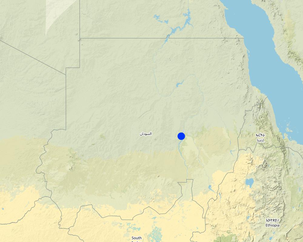
2.5 Country/ region/ locations where the Technology has been applied and which are covered by this assessment
Country:
Sudan
Region/ State/ Province:
Khartoum
Further specification of location:
Jabal Aulia
Specify the spread of the Technology:
- evenly spread over an area
Comments:
Boundary points of the Technology area: East
North
Total area covered by the SLM Technology is 100 km2.
Under research
Map
×2.6 Date of implementation
If precise year is not known, indicate approximate date:
- less than 10 years ago (recently)
2.7 Introduction of the Technology
Specify how the Technology was introduced:
- during experiments/ research
Comments (type of project, etc.):
4 years
3. Classification of the SLM Technology
3.1 Main purpose(s) of the Technology
- improve production
- create beneficial economic impact
3.2 Current land use type(s) where the Technology is applied

Cropland
- Annual cropping
- Perennial (non-woody) cropping
- Tree and shrub cropping
Annual cropping - Specify crops:
- cereals - sorghum
- fodder crops - grasses
- fruit trees
Number of growing seasons per year:
- 1
Comments:
Major land use problems (compiler’s opinion): Saline soil, saline ground water, mainly one type of vegetation(fodder)
Major land use problems (land users’ perception): Saline soil, saline ground water, mainly one type of vegetation(fodder)
Future (final) land use (after implementation of SLM Technology): Cropland: Cp: Perennial (non-woody) cropping
3.4 Water supply
Water supply for the land on which the Technology is applied:
- full irrigation
3.5 SLM group to which the Technology belongs
- rehabilitate saline soil
3.6 SLM measures comprising the Technology

agronomic measures
- A4: Subsurface treatment

vegetative measures
- V2: Grasses and perennial herbaceous plants

structural measures
- S4: Level ditches, pits
Comments:
Secondary measures: vegetative measures, structural measures
Type of agronomic measures: mixed cropping / intercropping, soil conditioners (lime, gypsum), pits
3.7 Main types of land degradation addressed by the Technology

chemical soil deterioration
- Cs: salinization/ alkalinization
Comments:
Main causes of degradation: droughts (Evaporation of water leaves behind mineral salts)
3.8 Prevention, reduction, or restoration of land degradation
Specify the goal of the Technology with regard to land degradation:
- reduce land degradation
- restore/ rehabilitate severely degraded land
4. Technical specifications, implementation activities, inputs, and costs
4.1 Technical drawing of the Technology
Technical specifications (related to technical drawing):
Technical knowledge required for field staff / advisors: high (Very specific monitoring)
Technical knowledge required for land users: low
Main technical functions: increase of infiltration
Secondary technical functions: increase in organic matter, increase in nutrient availability (supply, recycling,…)
Mixed cropping / intercropping
Material/ species: fruit trees, sorghum and fodder
Soil conditioners (lime, gypsum)
Quantity/ density: 4km/m2
Pits
Material/ species: 2*2*3
Quantity/ density: 1tree/pit
Retention/infiltration ditch/pit, sediment/sand trap
Spacing between structures (m): 8
Depth of ditches/pits/dams (m): 3
Width of ditches/pits/dams (m): 2
Length of ditches/pits/dams (m): 2
4.4 Costs and inputs needed for establishment
| Specify input | Unit | Quantity | Costs per Unit | Total costs per input | % of costs borne by land users | |
|---|---|---|---|---|---|---|
| Labour | Labour | unit | 1.0 | 64.0 | 64.0 | 100.0 |
| Equipment | Machine use | unit | 1.0 | 120.0 | 120.0 | 100.0 |
| Equipment | Tools | unit | 1.0 | 20.0 | 20.0 | 100.0 |
| Fertilizers and biocides | Fertilizer | unit | 1.0 | 250.0 | 250.0 | 100.0 |
| Fertilizers and biocides | Compost/manure | unit | 1.0 | 200.0 | 200.0 | 100.0 |
| Construction material | Earth | unit | 1.0 | 200.0 | 200.0 | 100.0 |
| Total costs for establishment of the Technology | 854.0 | |||||
| Total costs for establishment of the Technology in USD | 854.0 | |||||
4.7 Most important factors affecting the costs
Describe the most determinate factors affecting the costs:
The soil type
5. Natural and human environment
5.1 Climate
Annual rainfall
- < 250 mm
- 251-500 mm
- 501-750 mm
- 751-1,000 mm
- 1,001-1,500 mm
- 1,501-2,000 mm
- 2,001-3,000 mm
- 3,001-4,000 mm
- > 4,000 mm
Agro-climatic zone
- semi-arid
Thermal climate class: subtropics
5.2 Topography
Slopes on average:
- flat (0-2%)
- gentle (3-5%)
- moderate (6-10%)
- rolling (11-15%)
- hilly (16-30%)
- steep (31-60%)
- very steep (>60%)
Landforms:
- plateau/plains
- ridges
- mountain slopes
- hill slopes
- footslopes
- valley floors
Altitudinal zone:
- 0-100 m a.s.l.
- 101-500 m a.s.l.
- 501-1,000 m a.s.l.
- 1,001-1,500 m a.s.l.
- 1,501-2,000 m a.s.l.
- 2,001-2,500 m a.s.l.
- 2,501-3,000 m a.s.l.
- 3,001-4,000 m a.s.l.
- > 4,000 m a.s.l.
5.3 Soils
Soil depth on average:
- very shallow (0-20 cm)
- shallow (21-50 cm)
- moderately deep (51-80 cm)
- deep (81-120 cm)
- very deep (> 120 cm)
Soil texture (topsoil):
- fine/ heavy (clay)
Topsoil organic matter:
- low (<1%)
If available, attach full soil description or specify the available information, e.g. soil type, soil PH/ acidity, Cation Exchange Capacity, nitrogen, salinity etc.
Soil fertility is very low
Soil drainage / infiltration is poor
Soil water storage capacity is high
5.4 Water availability and quality
Ground water table:
> 50 m
Availability of surface water:
poor/ none
Water quality (untreated):
for agricultural use only (irrigation)
Comments and further specifications on water quality and quantity:
Water quality (untreated): Also poor for drinking
5.5 Biodiversity
Species diversity:
- low
5.6 Characteristics of land users applying the Technology
Market orientation of production system:
- subsistence (self-supply)
Relative level of wealth:
- rich
- very rich
Individuals or groups:
- individual/ household
Gender:
- men
Indicate other relevant characteristics of the land users:
Land users applying the Technology are mainly Leaders / privileged
Difference in the involvement of women and men: farmers
Population density: < 10 persons/km2
60% of the land users are very rich (own more then 5 ha or more).
40% of the land users are rich (2 ha).
5.7 Average area of land used by land users applying the Technology
- < 0.5 ha
- 0.5-1 ha
- 1-2 ha
- 2-5 ha
- 5-15 ha
- 15-50 ha
- 50-100 ha
- 100-500 ha
- 500-1,000 ha
- 1,000-10,000 ha
- > 10,000 ha
Is this considered small-, medium- or large-scale (referring to local context)?
- medium-scale
5.8 Land ownership, land use rights, and water use rights
Land ownership:
- individual, titled
Land use rights:
- individual
Water use rights:
- communal (organized)
6. Impacts and concluding statements
6.1 On-site impacts the Technology has shown
Ecological impacts
Soil
soil compaction
nutrient cycling/ recharge
Quantity before SLM:
0.5
Quantity after SLM:
20-50
salinity
Biodiversity: vegetation, animals
plant diversity
6.3 Exposure and sensitivity of the Technology to gradual climate change and climate-related extremes/ disasters (as perceived by land users)
Gradual climate change
Gradual climate change
| Season | increase or decrease | How does the Technology cope with it? | |
|---|---|---|---|
| annual temperature | increase | well |
Climate-related extremes (disasters)
Meteorological disasters
| How does the Technology cope with it? | |
|---|---|
| local rainstorm | not well |
| local windstorm | well |
Climatological disasters
| How does the Technology cope with it? | |
|---|---|
| drought | not well |
Hydrological disasters
| How does the Technology cope with it? | |
|---|---|
| general (river) flood | not well |
Other climate-related consequences
Other climate-related consequences
| How does the Technology cope with it? | |
|---|---|
| reduced growing period | not known |
6.7 Strengths/ advantages/ opportunities of the Technology
| Strengths/ advantages/ opportunities in the land user’s view |
|---|
| There is is no need to apply it regularly |
| Strengths/ advantages/ opportunities in the compiler’s or other key resource person’s view |
|---|
| There is increase in plant diversity |
| There is a decrease in land salinity |
| The soil becomes more fertile |
| there is reduction soil compaction |
6.8 Weaknesses/ disadvantages/ risks of the Technology and ways of overcoming them
| Weaknesses/ disadvantages/ risks in the land user’s view | How can they be overcome? |
|---|---|
| High costs are involved |
| Weaknesses/ disadvantages/ risks in the compiler’s or other key resource person’s view | How can they be overcome? |
|---|---|
| Not applicable for uneducated farmers | |
| The returns are long term/ need time |
7. References and links
7.1 Methods/ sources of information
Links and modules
Expand all Collapse allLinks
soil reclamation and application of chemical and organic … [Sudan]
No description available.
- Compiler: Daniel Danano Dale
Modules
No modules