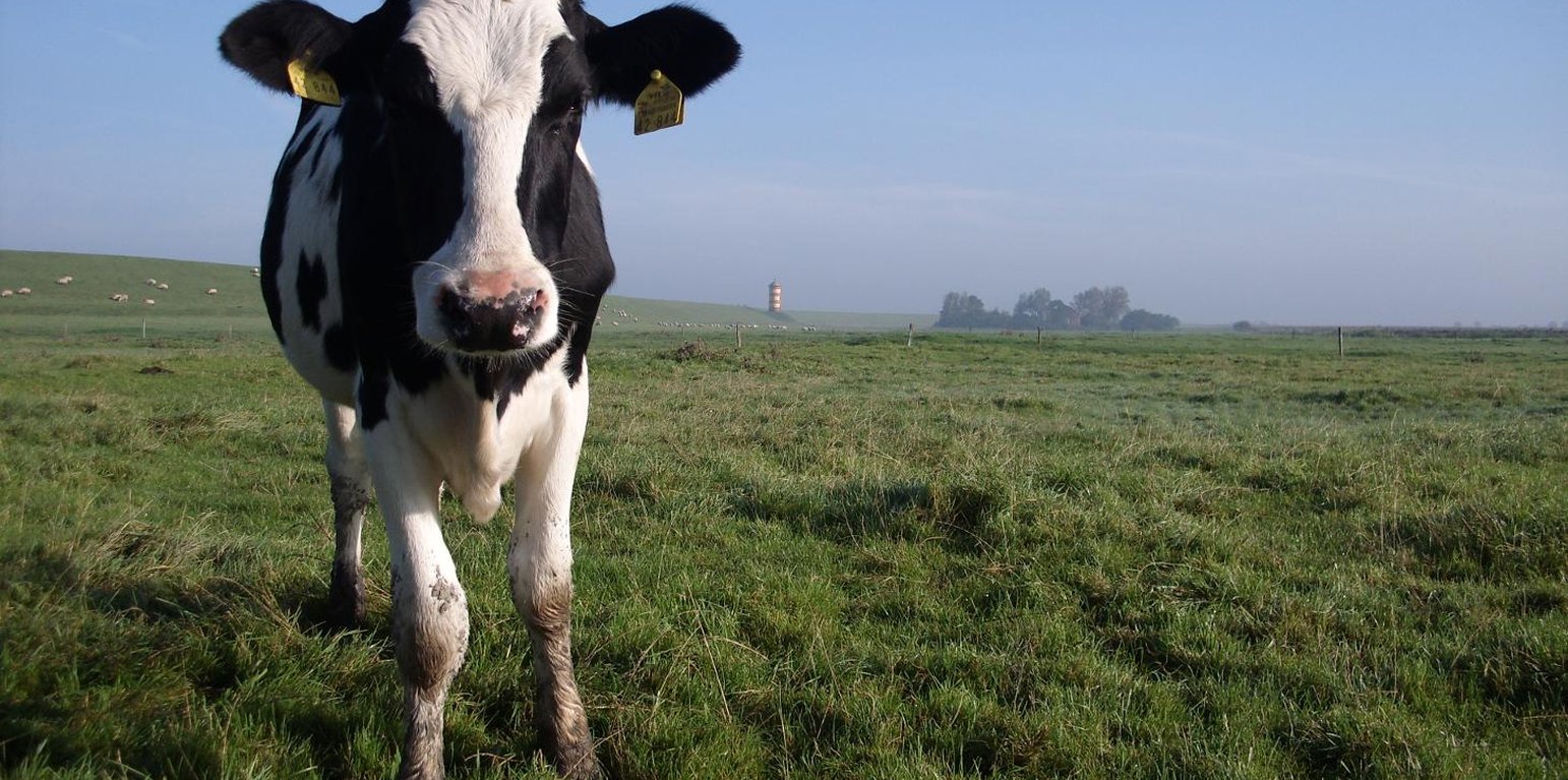
Typical landscape low elevated coastal landscape near to the primary sea wall (Hanna Timmermann)
In some coastal locations of north-western Germany, during the 19th and 20th century, land was reclaimed from the sea: at present, the land lies below sea level. It is protected from the sea by a wall called ‘dyke’. The reason for reclamation by drainage and walls was to make use of the fertile soil for intensive cropland or pastures. In the Landkreis Aurich region, agriculture is the most important form of land use: it is the main source of income, supplemented by tourism.
Purpose of the Technology: However, in anticipation of the expected increase in winter precipitation due to climate change, extra freshwater discharge will need to be dealt with. Furthermore, the periods when natural discharge of freshwater into the sea can occur is likely to become shorter, due to the sea level rising – again as a result of climate change. Consequently, in autumn and winter, more freshwater will have to be pumped into the sea rather than being discharged naturally during low tides.
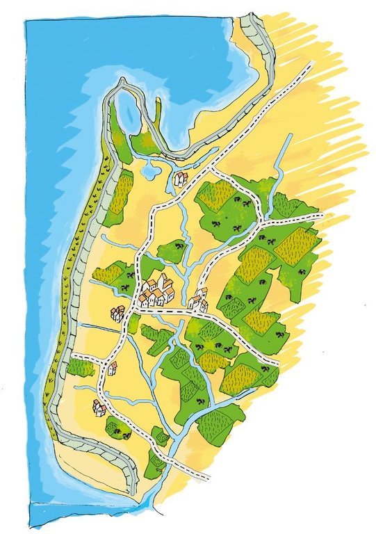
Establishment / maintenance activities and inputs: A dense drainage network enables intensive agriculture on the landward side of the primary sea wall. In total, one third of the Krummhörn community’s land is used for crops and one third as pasture. Drainage water from land which lies below sea level is pumped into the main drainage channels - which are at higher elevations and discharge naturally into the sea during low tides.
Natural / human environment: During storm tides when the sea level is high, large amounts of excess drainage water need to be pumped into the sea instead of naturally discharging. However, with climate change the present drainage network will no longer be capable of discharging all of the excess freshwater as a result of increased precipitation and sea level rise. This will require considerable investments in higher pumping capacities and an adapted drainage system with increased dimensions of ditches, as well as additional ditches in areas with a high flooding risk.
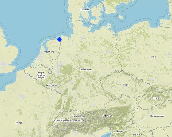
Байршил: Landkreis Aurich, Germany, Lower Saxony, Герман
Дүн шинжилгээнд хамрагдсан технологи нэвтрүүлсэн газрын тоо:
Технологийн тархалт:
Тусгай хамгаалалттай газар нутагт?:
Хэрэгжилтийн огноо: >50 жилийн өмнө (уламжлалт)
Нутагшууллын төрөл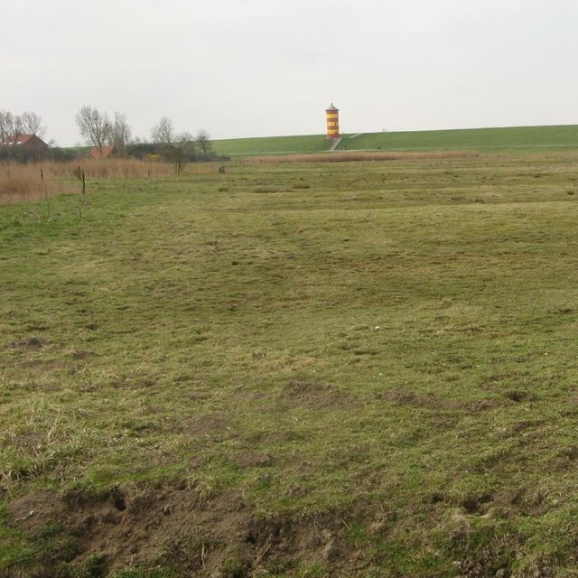


| Зардлын нэр, төрөл | Хэмжих нэгж | Тоо хэмжээ | Нэгжийн үнэ (EURO) | Зардал бүрийн нийт өртөг (EURO) | Нийт дүнгээс газар ашиглагчийн төлсөн % |
| Бусад | |||||
| Maintenance cost pre km ditch | km ditch | 2270.7 | |||
Reduced crop diversity
Increased habitat fragmentation


