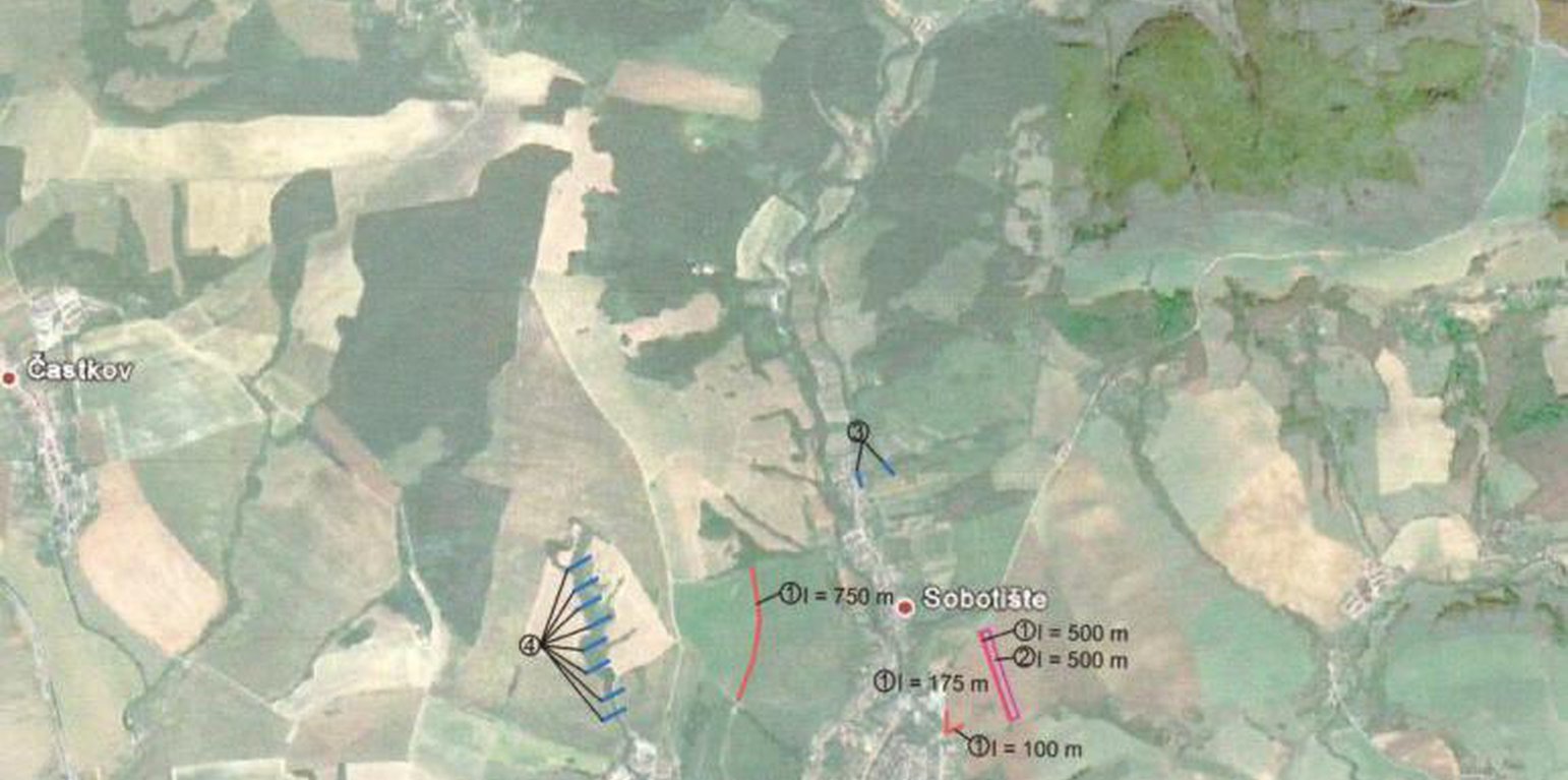
Situation of the approach. The location of the technologies at the study area.
Aims / objectives: The objective of the first implementation project for 2011 was to create, activate and systematically implement a minimum of 6 million m³ of water retention elements in mountain and foothill areas of forest-agricultural landscape in Slovakia. A particular aim was to create and build landscape water retention systems, terrain elements, facilities and technical solutions in forest, agricultural and urban areas in selected village locations, with the abovementioned cyclical rainwater retention capacity, which will then be operated and
maintained. Another project objective was to force and socially support the creation of employment at community and regional level. The creation of water retention elements and the implementation of revitalisation measures required the creation of a minimum of 2,500 jobs of a seasonal and temporary nature in 2011, including extending existing specialist capacities. This whould also extend the work skills and knowledge necessary for revitalisation of the landscape.
833 municipalities showed interest to participate in this project/approach, while 200 municipalities met the criteria. The project created about 3,500 seasonal jobs in 2011, particularly in regions with high unemployment.
Methods: Criteria and their significance for including villages into the first implementation project are
as follows:
1. 45% - historic or regularly repeated occurrence of flash flooding,
2. 35 % - village is situated in a location with a high potential risk of flooding, in accordance
with modelled potential for the occurrence of flooding. A map of regional and local
potential for flooding in the area of Slovakia1
is at Appendix No. 1,
3. 10% - location of a village in the upper part of river basins, so the implemented measures
will positively decrease the risk of flooding for highest possible number of villages in the
given river basins,
4. 10% - the ratio of documented unemployment is taking into account so citizens of villages
with a high ratio of documented unemployment could contribute towards revitalisation
works.
The submitted methodology of the whole flood potential of Slovakia was prepared on the basis of the work of J. Minár and Co. (2005). The mentioned work focuses upon the
presentation of methodology and results for evaluating the flood creation potential within the whole of Slovakia. It also includes a general description of the modelling of hydrological
processes. The method presented in this work is a good alternative for fast, effective and relatively financially undemanding but still sufficiently reliable analysis of flood risks of
larger areas. The actual calculation of total potential for flooding took place in the technological environment of Geographic Information Systems (GIS) in the following steps
with the stated data:
- calculation of the morphometric potential (incline, horizontal articulation of the
topography, slope length, speed of surface run-off),
- partial synthetic geological potential (infiltration and drainage properties of the soil,
retention properties of the land cover, breaking effect of land cover, size of river basin,
shape of river basin),
- overall potential of the land for the creation of flood situations (climatic and
hydrological characteristics and data).
Stages of implementation: Management of the first implementation project was carried out by the Executive Manager of the Programme of Landscape Revitalization and Integrated River Basin Management in SR in cooperation with the Government Representative for Local Government and for Integrated River Basin and Landscape Management and other interested departments of the Government Office SR.
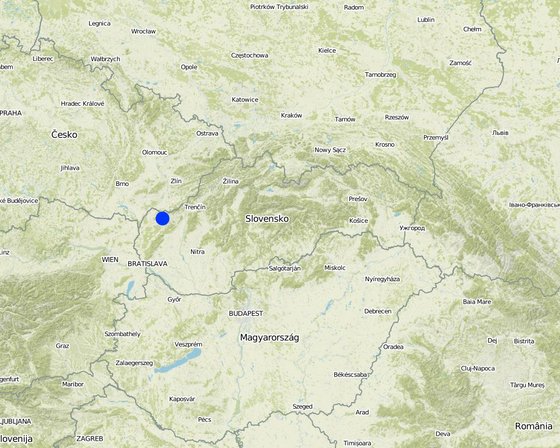
地点: Senica / Sobotište, Slovakia, 斯洛伐克
启动日期: 2011
终止年份: 2012
方法的类型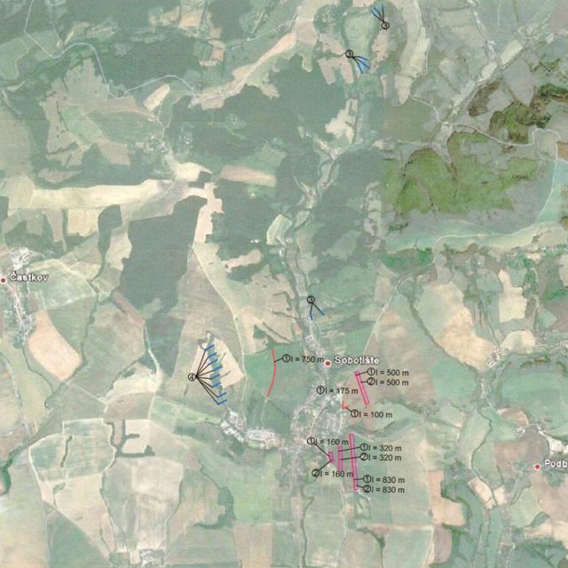
| 该方法涉及哪些利益相关者/执行机构? | 指定利益相关者 | 说明利益相关者的角色 |
| 当地土地使用者/当地社区 | The approach involved socially and economically disadvantaged ethnicities | |
| SLM专家/农业顾问 | ||
| 国家政府(规划者、决策者) |
决策是由......做出的
决策是基于
Research was carried out on-farm
土地使用者的劳动力为


