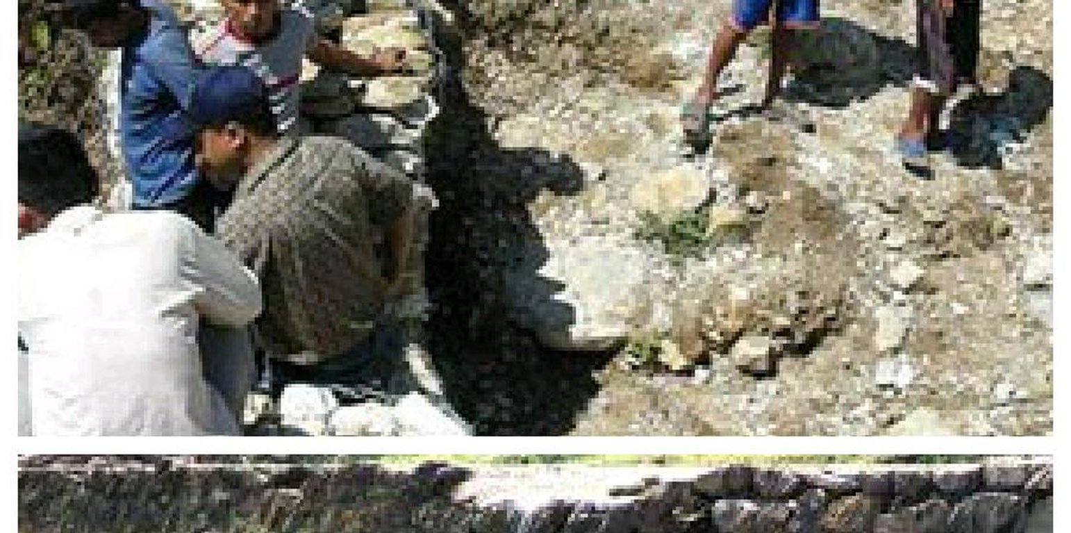
This photo shows the structural technology used to control downstream flooding.
Hilly areas are prone to flash flood that occur with little warning. During rainy season, level of water rises in the stream due to which land mass field of around area was degraded. This technology is used to control the land mass and water flowing from upper region to the lower region of the hill. The natural stream was modified to deep and more sloppy. And surrounding walls were made by piling up stones dams and tighten them by metal wires. These dams decrease the slope gradient and reduce the velocity of water flow and promote the deposition of eroded materials.
Purpose of the Technology: There was no problem of landslide and downstream flood before. But after the road construction, soil became loose resulting in the occurrence of downstream flood. It caused massive destruction of agricultural fields and disturbed settlement areas. Also, stone and gravel during landslide and stream flood used to be deposited and block the flow of the water. So land user invented by this technology to control and reduce the effects of downstream flood.
Establishment / maintenance activities and inputs: Land users and other villagers took the initiative to carry out the technology. Stones were abundantly found in the stream that were utilized to make the dams on lining the stream. Dozer was used to deepen the stream and increase the slope of stream. Stones were piled up and tied by iron wires on the bank of stream by local farmers themselves with their own investment.
Natural / human environment: The area where this technology has been used is a hilly area. Soil fertility in that area is low or medium which differs according to the place. Due to landslide and downstream flood, sand and gravel get deposited in the cropland, so its fertility is very low. No crops can be grown in there. This technology helps to control further degradation of land but could't help to restore natural quality of land.
This area is semi arid area. Due to the proper supply of water the area is prevented from drying. People living in that area are mainly farmers and depend on agriculture for livelihood. Also the area is developing more after the road construction. People are now being more aware about health, education and development.
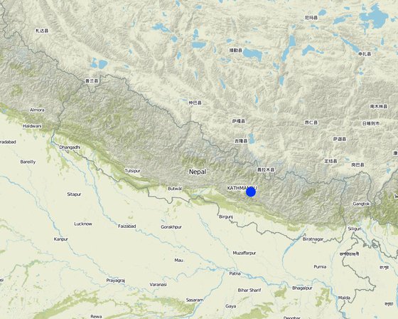
地点: Kavre, Nepal, 尼泊尔
分析的技术场所数量:
技术传播: 适用于特定场所/集中在较小区域
在永久保护区?:
实施日期: 不到10年前(最近)
介绍类型


| 对投入进行具体说明 | 单位 | 数量 | 单位成本 (美元) | 每项投入的总成本 (美元) | 土地使用者承担的成本% |
| 劳动力 | |||||
| Increase the width and slope of ditch | ha | 1.0 | 941.17 | 941.17 | 100.0 |
| 技术建立所需总成本 | 941.17 | ||||
| 技术建立总成本,美元 | 941.17 | ||||
SLM之前的数量: n/a
SLM之后的数量: n/a
protected the cropland from flood
SLM之前的数量: n/a
SLM之后的数量: n/a
active participating people on land conservation.
water travel in fixed path
improved water way for passage of excess water
soil loss due to flooding is reduced
the main benefits of this technology


