Microcatchments and ponds [埃塞俄比亚]
- 创建:
- 更新:
- 编制者: Unknown User
- 编辑者: –
- 审查者: Deborah Niggli, Alexandra Gavilano
Wuha Masebaseb
technologies_1075 - 埃塞俄比亚
查看章节
全部展开 全部收起1. 一般信息
1.2 参与该技术评估和文件编制的资源人员和机构的联系方式
关键资源人
SLM专业人员:
Teshome Melese
Alaba special woreda, SNNPR
埃塞俄比亚
SLM专业人员:
Kisum Simeon
Agricultural and Rural Development Office
埃塞俄比亚
有助于对技术进行记录/评估的机构名称(如相关)
SNNPR Bureau of Agriculture - 埃塞俄比亚有助于对技术进行记录/评估的机构名称(如相关)
Ministry of Agriculture and Rural Development (Ministry of Agriculture and Rural Development) - 埃塞俄比亚1.3 关于使用通过WOCAT记录的数据的条件
编制者和关键资源人员接受有关使用通过WOCAT记录数据的条件。:
是
1.4 所述技术的可持续性声明
这里所描述的技术在土地退化方面是否存在问题,导致无法被认为是一种可持续的土地管理技术?:
否
2. SLM技术的说明
2.1 技术简介
技术定义:
Microcatchments and ponds are water harvesting measures used to collect stored and spread over an area to increase soil moisture and ground water level.
2.2 技术的详细说明
说明:
Microcatchments for crop fields involve the construction of physical measures which trap rain water and help in increasing infiltration. Soil and stone funds, microbasics, ridges and tied ridges are some of the sWC pracices known as microcatchment. They are designed taking into account the amount of rain received the infiltration capacity of soils and the runoff produced from the field.
Water harvesting techniques described here are the most widely practiced techniques in Alaba woreda, which is characterised by erratic rains, soils having very low water holding capacity and farming systems dominated by seasonal cereal crops such as maize, teff and pepper. Maize is the dominant food and cash crop grown in the wereda. It is a crop requiring more rainfall than teff and sorghum. Water harvesting techniques are more suitable to maize because these structures make more water available to the crop. Bunds are establised by digging channel and embanking the soil either on the upper side or on down ward direction. Wherever stone is abailable it is supported by stone lines at the down slope direction. The purpose is to collect, stone and enhance infiltration of rain water in the soil for increasing survival and productivity of crops planted on the field. The technology is suitable to areas with erratic and low rainfalls, soils with low soil moisture holding capacity and for crops which require more water. The annual rainfall is not small but is not well distributed over the growing period and hence it becomes essential to have structures that could trap and store as much rainfall as possible in the soil.
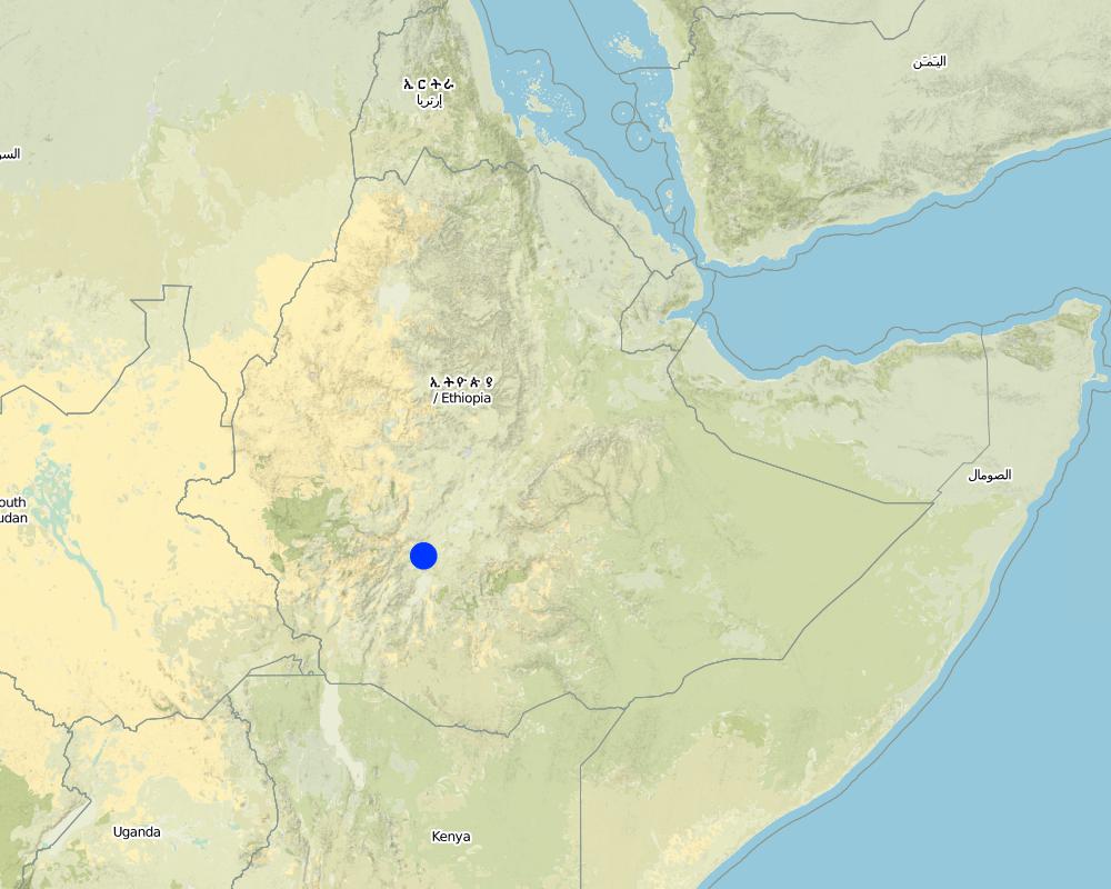
2.5 已应用该技术的、本评估所涵盖的国家/地区/地点
国家:
埃塞俄比亚
区域/州/省:
SNNPR
有关地点的进一步说明:
Bilate watershed
注释:
Total area covered by the SLM Technology is 60 km2.
Microcatchments and ponds are practiced in all of the kebeles mentioned above (SWC area)
Map
×2.6 实施日期
如果不知道确切的年份,请说明大概的日期:
- 50多年前(传统)
2.7 技术介绍
详细说明该技术是如何引入的:
- 通过项目/外部干预
注释(项目类型等):
From international expriences.
3. SLM技术的分类
3.1 该技术的主要目的
- 改良生产
- 适应气候变化/极端天气及其影响
3.2 应用该技术的当前土地利用类型

农田
- 一年一作
- 多年一作(非木材)
- 乔木与灌木的种植
年作 - 具体指明作物:
- 谷物类 - 玉米
- 谷类 - 高粱
- 豆科牧草和豆类 - 豆子
- 蔬菜 - 叶菜(色拉、卷心菜、菠菜和其他)
- haricot bean
多年生(非木质)作物 - 指定作物:
- 药用、芳香、杀虫植物 - 多年生植物
- pepper, Teff
- Coffee
每年的生长季节数:
- 1

牧场
粗放式放牧:
- 半游牧畜牧业
注释:
Major land use problems (compiler’s opinion): Shortage of rainfall, land degradation, low soil fertility.
Major land use problems (land users’ perception): Moisture stress, poor harvest, unreliable rainfalls.
Grazingland comments: There is serious shortage of fodder in the woreda and to minimize this problem fodder trees are planted and grown using rainwater harvesting structures such as microbasins and trenches on grazing lands which are closed for some time.
Problems / comments regarding forest use: Rainwater should be stored/collected in trenches and soil bunds to support seedling plantation, forage and crop production.
Type of cropping system and major crops comments: maize, haricot bean and cabbage
3.4 供水
该技术所应用土地的供水:
- 雨养
3.5 该技术所属的SLM组
- 集水
- 灌溉管理(包括供水、排水)
- 引水和排水
3.6 包含该技术的可持续土地管理措施

农艺措施
- A3:土壤表面处理
注释:
Type of agronomic measures: contour tillage, contour ridging
3.7 该技术强调的主要土地退化类型

土壤水蚀
- Wt:表土流失/地表侵蚀

水质恶化
- Ha:干旱化
3.8 防止、减少或恢复土地退化
具体数量名该技术与土地退化有关的目标:
- 防止土地退化
4. 技术规范、实施活动、投入和成本
4.1 该技术的技术图纸
技术规范(与技术图纸相关):
Technical knowledge required for field staff / advisors: high
Technical knowledge required for land users: moderate
Main technical functions: increase of infiltration, increase / maintain water stored in soil, water harvesting / increase water supply
Secondary technical functions: control of dispersed runoff: retain / trap, improvement of ground cover
Contour tillage
Remarks: along the contour (0gradient)
Contour ridging
Remarks: along the contour
Slope (which determines the spacing indicated above): 5.00%
If the original slope has changed as a result of the Technology, the slope today is (see figure below): 3.00%
Gradient along the rows / strips: 0.00%
Dam/ pan/ pond
Vertical interval between structures (m): 2-3m
Width of ditches/pits/dams (m): 3m
Length of ditches/pits/dams (m): 5-10m
Retention/infiltration ditch/pit, sediment/sand trap
Vertical interval between structures (m): 1m
Spacing between structures (m): 20-30m
Depth of ditches/pits/dams (m): 0.5
Width of ditches/pits/dams (m): 100m
Length of ditches/pits/dams (m): 100m
Height of bunds/banks/others (m): 0.5m
Width of bunds/banks/others (m): 0.5-0.6m
Structural measure: diversion ditch / cut-off drain
Depth of ditches/pits/dams (m): 0.5m
Width of ditches/pits/dams (m): 2m
Height of bunds/banks/others (m): 0.8m
Width of bunds/banks/others (m): 0.9m
Construction material (earth): soil excavated from the ditches used to construct the embankments.
Construction material (stone): stone is used to reinforce and construct the structures
Slope (which determines the spacing indicated above): 5%
If the original slope has changed as a result of the Technology, the slope today is: 3%
Lateral gradient along the structure: 0%
For water harvesting: the ratio between the area where the harvested water is applied and the total area from which water is collected is: 1:2
4.2 有关投入和成本计算的一般信息
其它/国家货币(具体说明):
Birr
如相关,注明美元与当地货币的汇率(例如1美元=79.9巴西雷亚尔):1美元=:
8.6
4.3 技术建立活动
| 活动 | 时间(季度) | |
|---|---|---|
| 1. | Site selection | |
| 2. | Survey | dry season |
| 3. | Construction | dry season |
4.4 技术建立所需要的费用和投入
| 对投入进行具体说明 | 单位 | 数量 | 单位成本 | 每项投入的总成本 | 土地使用者承担的成本% | |
|---|---|---|---|---|---|---|
| 劳动力 | Labour | ha | 1.0 | 83.7 | 83.7 | |
| 设备 | Tools | ha | 1.0 | 120.0 | 120.0 | |
| 施工材料 | Plastic | ha | 1.0 | 232.0 | 232.0 | |
| 技术建立所需总成本 | 435.7 | |||||
| 技术建立总成本,美元 | 50.66 | |||||
4.5 维护/经常性活动
| 活动 | 时间/频率 | |
|---|---|---|
| 1. | Surveying | dry season / annual |
| 2. | Rainwater structure construction | dry season / annual |
| 3. | Clearing silt trap | dry season/annual |
| 4. | Stablizing the bunds | rainy season/annual |
4.6 维护/经常性活动所需要的费用和投入(每年)
| 对投入进行具体说明 | 单位 | 数量 | 单位成本 | 每项投入的总成本 | 土地使用者承担的成本% | |
|---|---|---|---|---|---|---|
| 劳动力 | Labour | ha | 1.0 | 6.97 | 6.97 | |
| 设备 | Tools | ha | 1.0 | 120.0 | 120.0 | |
| 技术维护所需总成本 | 126.97 | |||||
| 技术维护总成本,美元 | 14.76 | |||||
4.7 影响成本的最重要因素
描述影响成本的最决定性因素:
Availability of construction materials.
5. 自然和人文环境
5.1 气候
年降雨量
- < 250毫米
- 251-500毫米
- 501-750毫米
- 751-1,000毫米
- 1,001-1,500毫米
- 1,501-2,000毫米
- 2,001-3,000毫米
- 3,001-4,000毫米
- > 4,000毫米
有关降雨的规范/注释:
850-950 mm
农业气候带
- 半湿润
- 半干旱
5.2 地形
平均坡度:
- 水平(0-2%)
- 缓降(3-5%)
- 平缓(6-10%)
- 滚坡(11-15%)
- 崎岖(16-30%)
- 陡峭(31-60%)
- 非常陡峭(>60%)
地形:
- 高原/平原
- 山脊
- 山坡
- 山地斜坡
- 麓坡
- 谷底
垂直分布带:
- 0-100 m a.s.l.
- 101-500 m a.s.l.
- 501-1,000 m a.s.l.
- 1,001-1,500 m a.s.l.
- 1,501-2,000 m a.s.l.
- 2,001-2,500 m a.s.l.
- 2,501-3,000 m a.s.l.
- 3,001-4,000 m a.s.l.
- > 4,000 m a.s.l.
关于地形的注释和进一步规范:
Altitudinal zone: 1700-2200 m a.s.l.
5.3 土壤
平均土层深度:
- 非常浅(0-20厘米)
- 浅(21-50厘米)
- 中等深度(51-80厘米)
- 深(81-120厘米)
- 非常深(> 120厘米)
土壤质地(表土):
- 粗粒/轻(砂质)
- 中粒(壤土、粉土)
表土有机质:
- 中(1-3%)
如有可能,附上完整的土壤描述或具体说明可用的信息,例如土壤类型、土壤酸碱度、阳离子交换能力、氮、盐度等。:
Soil fertility is medium (ranked 1) and high (ranked 2)
Soil drainage/infiltration: Good
Soil water storage capacity: very low
5.6 应用该技术的土地使用者的特征
生产系统的市场定位:
- 生计(自给)
- 混合(生计/商业)
非农收入:
- 收入的10-50%
相对财富水平:
- 贫瘠
- 平均水平
机械化水平:
- 手工作业
- 畜力牵引
说明土地使用者的其他有关特征:
Population density: 200-500 persons/km2
Annual population growth: 3% - 4%
10% of the land users are very rich and own 18% of the land.
20% of the land users are rich and own 25% of the land.
40% of the land users are average wealthy and own 40% of the land.
25% of the land users are poor and own 15% of the land.
5% of the land users are poor and own 2% of the land.
5.7 应用该技术的土地使用者使用的平均土地面积
- < 0.5 公顷
- 0.5-1 公顷
- 1-2 公顷
- 2-5公顷
- 5-15公顷
- 15-50公顷
- 50-100公顷
- 100-500公顷
- 500-1,000公顷
- 1,000-10,000公顷
- > 10,000公顷
注释:
Cropland: 1-2 ha
Grazing land: 0.5-1 ha (grazing land is changing into forest land)
5.8 土地所有权、土地使用权和水使用权
土地所有权:
- 州
土地使用权:
- 个人
6. 影响和结论性说明
6.1 该技术的现场影响
社会经济效应
生产
作物生产
饲料生产
饲料质量
收入和成本
农业收入
生态影响
水循环/径流
地下水位/含水层
注释/具体说明:
Improved groundwater
土壤
土壤水分
土壤流失
SLM之前的数量:
40
SLM之后的数量:
25
6.2 该技术的场外影响已经显现
旱季稳定可靠的水流
下游洪水
6.4 成本效益分析
技术收益与技术建立成本相比如何(从土地使用者的角度看)?
短期回报:
积极
长期回报:
非常积极
技术收益与技术维护成本/经常性成本相比如何(从土地使用者的角度看)?
短期回报:
积极
长期回报:
非常积极
6.5 技术采用
注释:
90% of land user families have adopted the Technology with external material support
46800 land user families have adopted the Technology with external material support
Comments on acceptance with external material support: survey results
There is a moderate trend towards spontaneous adoption of the Technology
Comments on adoption trend: The technology is implemented by community participation with out incentive paid.
6.7 该技术的优点/长处/机会
| 土地使用者眼中的长处/优势/机会 |
|---|
| Vegetables grown around water harvesting structures. |
| 编制者或其他关键资源人员认为的长处/优势/机会 |
|---|
| Moisture is harvested |
| shortage of water gradually decreased |
7. 参考和链接
7.1 信息的方法/来源
- 实地考察、实地调查
- 与土地使用者的访谈
(现场)数据是什么时候汇编的?:
02/06/2011
7.2 参考可用出版物
标题、作者、年份、ISBN:
Guideline for watershed development
链接和模块
全部展开 全部收起链接
无链接
模块
无模块