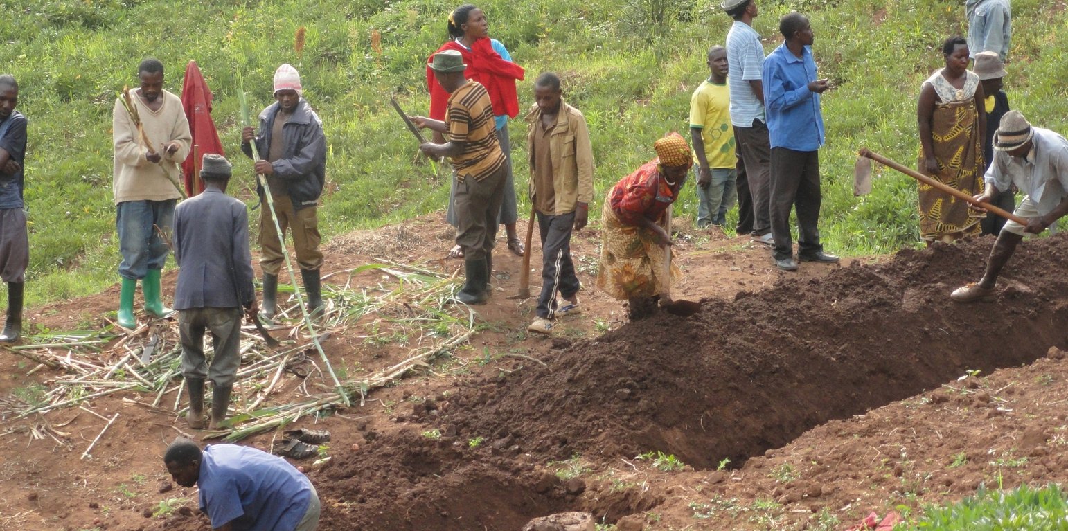
Excavation of soil and water conservation channels separated by tie bands (Kenneth Twinamasiko)
The technology is applied in already existing degraded farmlands, which are individually owned. An average farm size is less than half an acre.
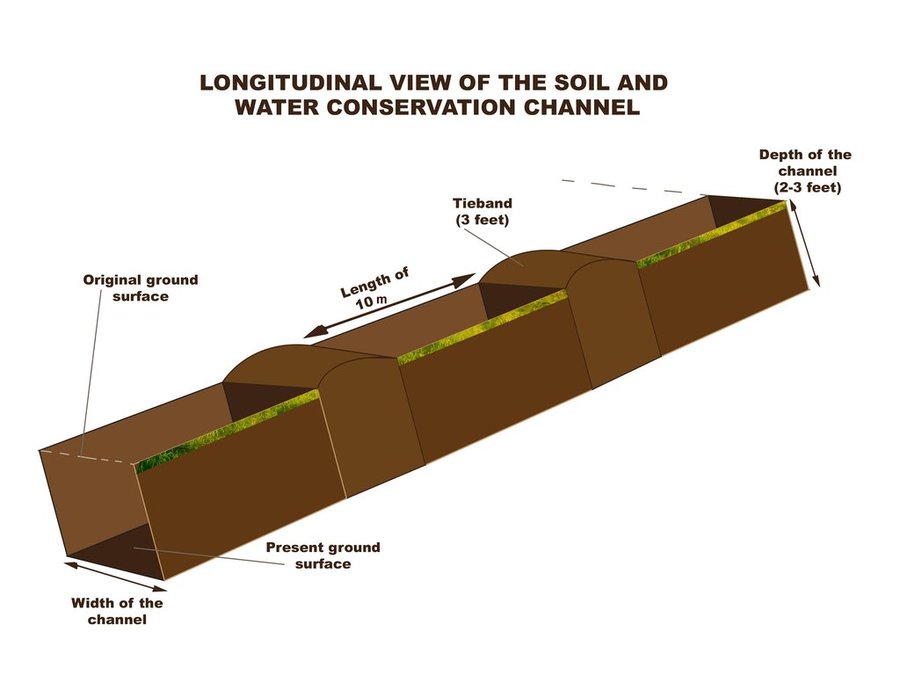
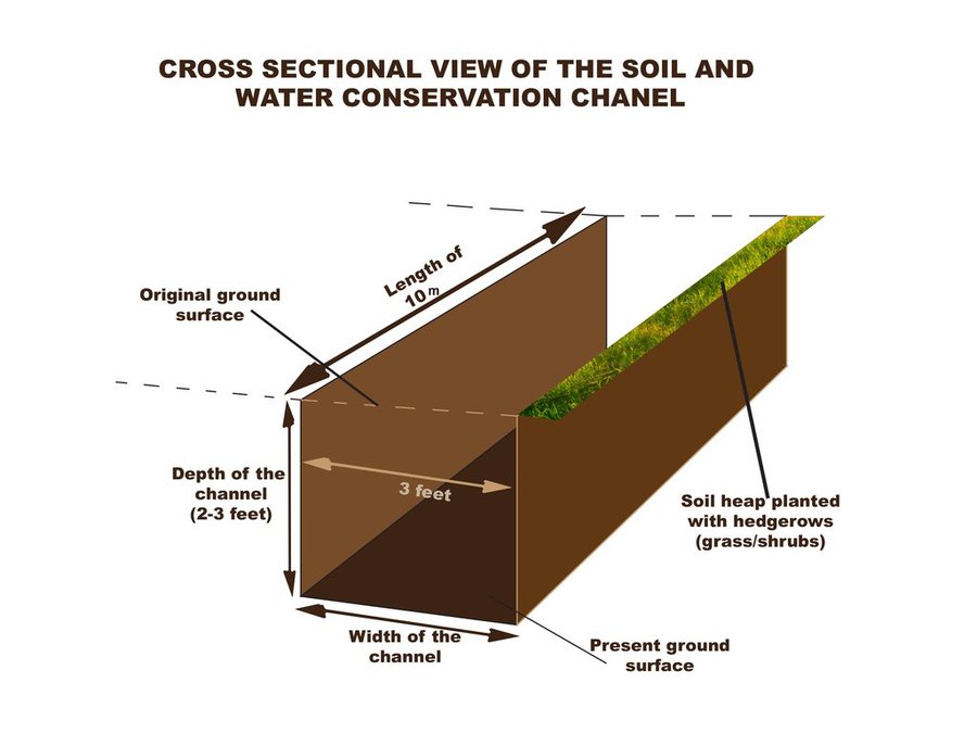
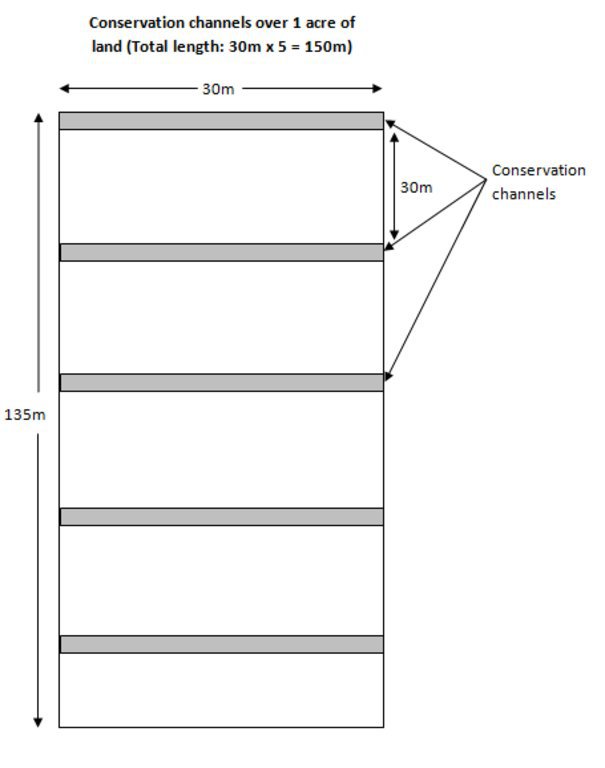
A typical soil and water conservation channel is a trench 1m wide, 1m deep and with tie bands (1m wide to avoid flow of water along the trench) at intervals of 10m along the contour. The excavated soil is used piled up into an earth bund next to the trench at lower side and stabilized by planting hedge rows of "Starria grass" to avoid erosion.
This technology reduces the speed of water running down the slope during a downpour and traps the water and soil that is being washed thereby reducing soil erosion and increasing water retention.
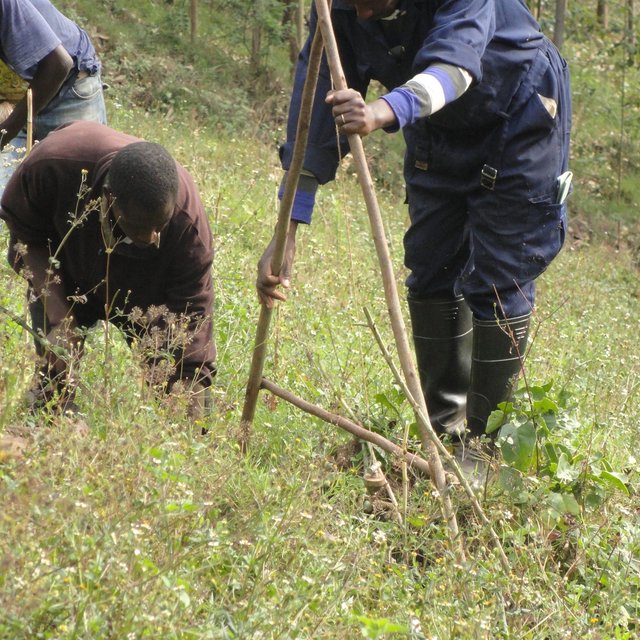
Areas which are prone to degradation by erosion are identified and later, the farmers are trained on benefits of this technology, how to set out the technology by use of the ‘A – frame’, how to construct the channels and how to maintain them by periodic de-silting and planting grasses and shrubs on the bands.
The 'A - Frame' is an A shaped structure made from wooden poles or thin metal poles that can be easily constructed and used to peg flat or graded contours or water drains.
This technology helps maintain the good top soil, which would have otherwise been washed down the slope into the valley and increases water retention.
The land users like this technology because their soil is not lost but what they dislike about this technology is that it is labour intensive, setting it out is technical and not easily conceptualized and it takes part of the land. Individual land users excavate these channels in their individual plots of land using simple hand tools like hoes, spades and pick axes.
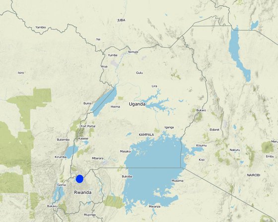
Location: Rubaya Sub County, Kabale District, South Western Region, Uganda
No. of Technology sites analysed: 100-1000 sites
Spread of the Technology: evenly spread over an area
In a permanently protected area?:
Date of implementation: 2015
Type of introduction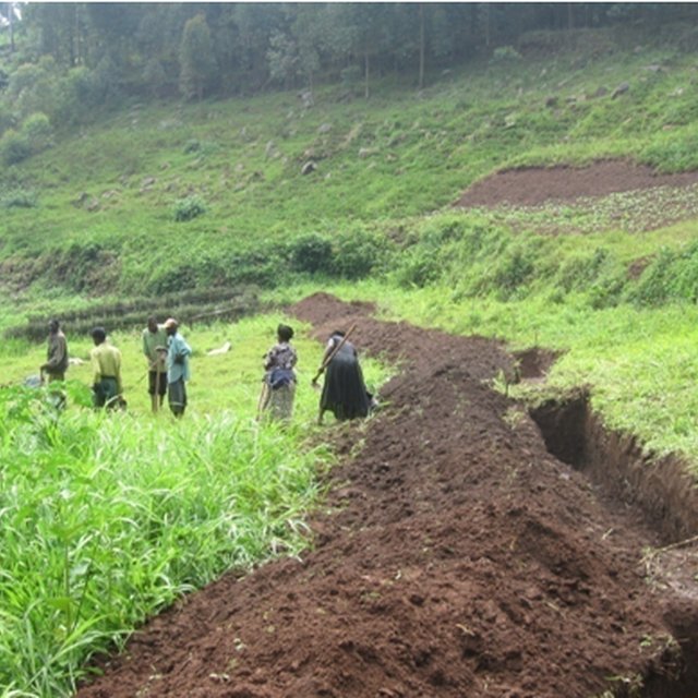


| Specify input | Unit | Quantity | Costs per Unit (USD) | Total costs per input (USD) | % of costs borne by land users |
| Labour | |||||
| Setting out | meter | 150.0 | 0.02 | 3.0 | 100.0 |
| Excavation of the channels | meter | 150.0 | 1.06 | 159.0 | 100.0 |
| Planting starria grass | meter | 150.0 | 0.02 | 3.0 | 100.0 |
| Equipment | |||||
| Forked hoes (1 piece can excavate 1km) | meter | 6.67 | 5.0 | 33.35 | |
| Pick axes (1 piece can excavate 1km) | meter | 6.67 | 5.0 | 33.35 | |
| Spades (1 piece can be used on 1km) | meter | 6.67 | 5.0 | 33.35 | |
| Plant material | |||||
| Starria grass (1 sack for 20m) | sacks | 7.5 | 7.0 | 52.5 | |
| Total costs for establishment of the Technology | 317.55 | ||||
| Total costs for establishment of the Technology in USD | 0.1 | ||||
| Specify input | Unit | Quantity | Costs per Unit (USD) | Total costs per input (USD) | % of costs borne by land users |
| Labour | |||||
| Desilting of channels (when half full) | meter | 1.0 | 0.265 | 0.27 | 100.0 |
| Trimming of hedge rows (100m per day) | days | 1.0 | 0.0212 | 0.02 | 100.0 |
| Total costs for maintenance of the Technology | 0.29 | ||||
The impacts are seen immediately after the first crop


