The check dam land for maize. The soil moisture is good enough and the yield is good. (Wang Fei (Yangling, Shaanxi Province, China))
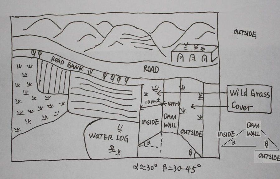
The check dam is a small dam designed to reduce flow velocity, control soil erosion, and allow to settle on the bed of the valley. The whole system includes main body of dam, spillway, overflow and supporting measures. The check dam for land is a small dam mainly for land after it is filled up by the sediment from upstream area, from several years to 20 years in common, it could be flat land in the valley, not mainly for water collection (different from reservior).
Purpose of the Technology: Check dams in the Loess Plateau are very common. There are many advantages. The check dam could not only reduce the erosion of the gullies, furthermore it retain the sediment in the flow and this decreases the sediment of the Yellow River. The check dam is good quality land for the soils because of the sedimentation of organic matter and other nutrients from topsoil . In this region soils are deep and very fertile because most soil is from the top soil upstream. The soil moisture of check dam is also much better than in any other places in the watershed because the flood should go away from its surface and the water inflitration is great in raining seasons.
Establishment / maintenance activities and inputs: The establishment needs enough money because it has to be safe enough, and the maintenance cost is not so high. The catchment with great soil erosion is better when we considered the formation time of land.
Natural / human environment: The controlling area of check dam for land varies greatly from 30 square km or more. Since the "Grain for Green" Project of China in 1999, the soil erosion on the slope decreased. The time from reservoir to land need more time because there is less and less sediment from upstream and the sedimentation changed slowly.
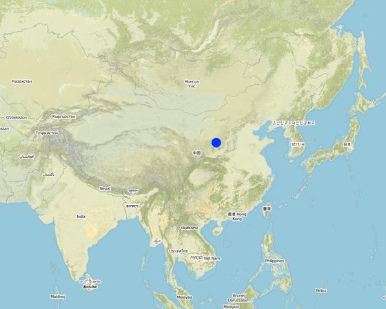
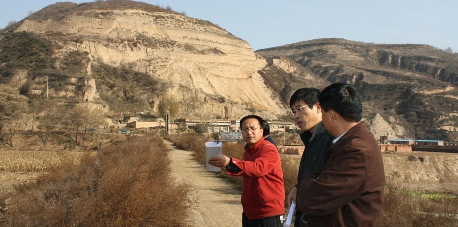
Lieu: Yanhe River Basin, Shaanxi Province, Chine
Nbr de sites de la Technologie analysés: site unique
Diffusion de la Technologie: appliquée en des points spécifiques ou concentrée sur une petite surface
Dans des zones protégées en permanence ?:
Date de mise en oeuvre: il y a entre 10-50 ans
Type d'introduction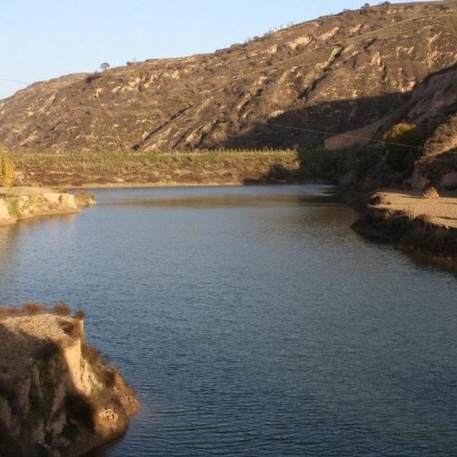


| Spécifiez les intrants | Unité | Quantité | Coûts par unité (dollars américains) | Coût total par intrant (dollars américains) | % des coût supporté par les exploitants des terres |
| Main d'œuvre | |||||
| Building the wall/ field survey and planning | Person/day | 180,0 | 8,8 | 1584,0 | 90,0 |
| Building the wall/ field survey | Machine/hrs | 75,0 | 43,8 | 3285,0 | |
| Matériaux de construction | |||||
| Stone | m^3 | 40,0 | 26,35 | 1054,0 | |
| Coût total de mise en place de la Technologie | 5'923.0 | ||||
| Coût total de mise en place de la Technologie en dollars américains (USD) | -2'729.49 | ||||
| Spécifiez les intrants | Unité | Quantité | Coûts par unité (dollars américains) | Coût total par intrant (dollars américains) | % des coût supporté par les exploitants des terres |
| Main d'œuvre | |||||
| check annualy the dam wall | Person/day | 15,0 | 8,8 | 132,0 | |
| Coût total d'entretien de la Technologie | 132.0 | ||||
| Coût total d'entretien de la Technologie en dollars américains (USD) | -60.83 | ||||
Quantité avant la GDT: 600
Quantité après la GDT: 6000
Quantité avant la GDT: 4500kg/ha
Quantité après la GDT: 2500kg/ha
In extreme year with great rainfall, low yield of check dam land
Quantité avant la GDT: 950
Quantité après la GDT: 59
Quantité avant la GDT: 200 kg
Quantité après la GDT: 350 kg
Quantité avant la GDT: 8 m
Quantité après la GDT: 4-6m
Quantité avant la GDT: 12-16%
Quantité après la GDT: 16-22%
Quantité avant la GDT: 60t/ha/yr
Quantité après la GDT: 5t/ha/yr
Sediment from slope decelerate the process of building arable land. In other words the economic function can not appear soon.
Quantité avant la GDT: 2events/yr
Quantité après la GDT: nearly no


