Catch crop [Spain]
- Creation:
- Update:
- Compiler: Artemi Cerda
- Editor: –
- Reviewers: Fabian Ottiger, Alexandra Gavilano
Catch crop
technologies_1268 - Spain
View sections
Expand all Collapse all1. General information
1.2 Contact details of resource persons and institutions involved in the assessment and documentation of the Technology
Name of the institution(s) which facilitated the documentation/ evaluation of the Technology (if relevant)
Universidad de Valencia (Universidad de Valencia) - Spain1.3 Conditions regarding the use of data documented through WOCAT
When were the data compiled (in the field)?
10/04/2015
The compiler and key resource person(s) accept the conditions regarding the use of data documented through WOCAT:
Yes
1.4 Declaration on sustainability of the described Technology
Is the Technology described here problematic with regard to land degradation, so that it cannot be declared a sustainable land management technology?
No
2. Description of the SLM Technology
2.1 Short description of the Technology
Definition of the Technology:
Catch crops application on bare soil in order to prevent soil erosion, reduces overland flow, and increase soil organic matter.
2.2 Detailed description of the Technology
Description:
In a Persimmon crop area near Valencia (south-east Spain), the research team of the University of Valencia set up an experiment in order to test the effect of the catch crop technique to avoid soil water erosion and improve soil properties.
Purpose of the Technology: The increase in ground cover will decrease soil erosion by reducing raindrop impact on the bare soil. Amount of runoff also decrease by increasing water surface storage, decrease of runoff velocity, and increase of infiltration. Its application must be done after cropping and before high-storm events in the Mediterranean; namely end summer to early autumn, in order to protect raindrop impact and detachment of bare soil.
Establishment / maintenance activities and inputs: Catch crops will be obtained after harvesting.
Natural / human environment: The persimmon production in the area has been implemented in recent time due to the market prices. There has been a quick land use change from citrus orchards to persimmon orchards.
The landscape reflects the long history of management where several constructions related with wine production depicted its importance on this region. Since the late 1960´s, chemical agriculture by use of fertilizers and herbicides, and new orchards plantations as Persimmon, led seasonally the soil surface bare, triggering huge erosion rates.
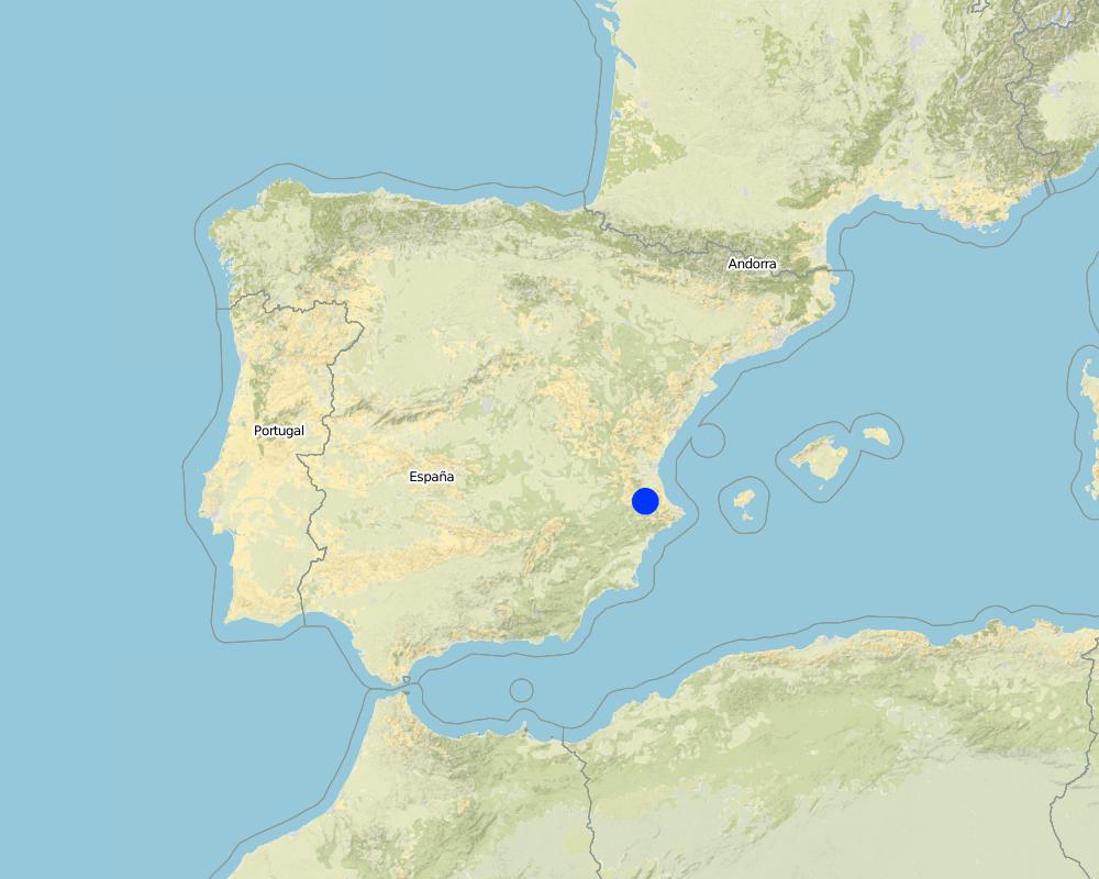
2.5 Country/ region/ locations where the Technology has been applied and which are covered by this assessment
Country:
Spain
Region/ State/ Province:
Spain
Further specification of location:
Valencia
Map
×3. Classification of the SLM Technology
3.2 Current land use type(s) where the Technology is applied

Cropland
- Tree and shrub cropping
Main crops (cash and food crops):
Persimmon
Comments:
Major land use problems (compiler’s opinion): Increased runoff and soil erosion, resulting in a decrease of on-site fertility, water reservoir, and weakness of hydrological soil properties.
Major land use problems (land users’ perception): Loss of water-soil resources and productivity.
3.3 Further information about land use
Water supply for the land on which the Technology is applied:
- mixed rainfed-irrigated
Specify:
Longest growing period in days: 180 Longest growing period from month to month: february to july
3.4 SLM group to which the Technology belongs
- improved ground/ vegetation cover
3.6 SLM measures comprising the Technology

agronomic measures
- A1: Vegetation/ soil cover

management measures
- M2: Change of management/ intensity level
Comments:
Main measures: agronomic measures, management measures
Secondary measures: vegetative measures, structural measures
Type of agronomic measures: better crop cover, cover cropping, mulching, manure / compost / residues
3.7 Main types of land degradation addressed by the Technology

soil erosion by water
- Wt: loss of topsoil/ surface erosion

physical soil deterioration
- Pc: compaction
Comments:
Main type of degradation addressed: Wt: loss of topsoil / surface erosion
Secondary types of degradation addressed: Pc: compaction
Main causes of degradation: soil management, Heavy / extreme rainfall (intensity/amounts)
Secondary causes of degradation: crop management (annual, perennial, tree/shrub), deforestation / removal of natural vegetation (incl. forest fires), over-exploitation of vegetation for domestic use, overgrazing, industrial activities and mining, urbanisation and infrastructure development, discharges (point contamination of water), release of airborne pollutants (urban/industry…), disturbance of water cycle (infiltration / runoff), over abstraction / excessive withdrawal of water (for irrigation, industry, etc.), other human induced causes (specify), change in temperature, change of seasonal rainfall, wind storms / dust storms, floods, droughts, population pressure, land tenure, poverty / wealth, labour availability, inputs and infrastructure: (roads, markets, distribution of water points, other, …), education, access to knowledge and support services, war and conflicts, governance / institutional
3.8 Prevention, reduction, or restoration of land degradation
Specify the goal of the Technology with regard to land degradation:
- prevent land degradation
Comments:
Main goals: prevention of land degradation
Secondary goals: mitigation / reduction of land degradation, rehabilitation / reclamation of denuded land
4. Technical specifications, implementation activities, inputs, and costs
4.1 Technical drawing of the Technology
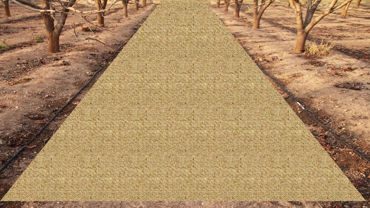
Author:
Artemio Cerdà, University of Valencia. Dept. of Geography
4.2 Technical specifications/ explanations of technical drawing
Catch crop cover must be spread homogeneously in bare soil areas between trees lines in order to keep as much as possible the soil covered.
Location: Valencia. Spain
Date: 13-03-2015
Main technical functions: control of raindrop splash, control of dispersed runoff: retain / trap, improvement of ground cover, increase of surface roughness, improvement of topsoil structure (compaction), increase in organic matter, increase of infiltration, sediment retention / trapping, sediment harvesting
Secondary technical functions: control of dispersed runoff: impede / retard, control of concentrated runoff: retain / trap, control of concentrated runoff: impede / retard, control of concentrated runoff: drain / divert, reduction of slope angle, reduction of slope length, improvement of surface structure (crusting, sealing), improvement of subsoil structure (hardpan), stabilisation of soil (eg by tree roots against land slides), increase in nutrient availability (supply, recycling,…), increase / maintain water stored in soil, increase of groundwater level / recharge of groundwater, water harvesting / increase water supply, water spreading, improvement of water quality, buffering / filtering water, reduction in wind speed, increase of biomass (quantity), promotion of vegetation species and varieties (quality, eg palatable fodder), control of fires, reduction of dry material (fuel for wildfires), spatial arrangement and diversification of land use
Better crop cover
Material/ species: Catch crop
Cover cropping
Material/ species: Catch crop
Mulching
Material/ species: Catch crop
Manure / compost / residues
Material/ species: Catch crop residues lying on soil surface
Change of land use practices / intensity level: Land use practices changes in order to implement soil cover on bare soil through catch crops
4.4 Establishment activities
| Activity | Type of measure | Timing | |
|---|---|---|---|
| 1. | Harvesting | Management | |
| 2. | Adding catch crops | Management |
4.8 Most important factors affecting the costs
Describe the most determinate factors affecting the costs:
Catch crops disponibility when the right application period and man/machine power costs.
5. Natural and human environment
5.1 Climate
Annual rainfall
- < 250 mm
- 251-500 mm
- 501-750 mm
- 751-1,000 mm
- 1,001-1,500 mm
- 1,501-2,000 mm
- 2,001-3,000 mm
- 3,001-4,000 mm
- > 4,000 mm
Specifications/ comments on rainfall:
Also 500-750 mm (Mediterranean climate with concentred precipitation in february-may and september-december months. Drought from june to september)
Agro-climatic zone
- sub-humid
- semi-arid
Thermal climate class: temperate (Transition zone between semiarid and subhumid)
5.2 Topography
Slopes on average:
- flat (0-2%)
- gentle (3-5%)
- moderate (6-10%)
- rolling (11-15%)
- hilly (16-30%)
- steep (31-60%)
- very steep (>60%)
Landforms:
- plateau/plains
- ridges
- mountain slopes
- hill slopes
- footslopes
- valley floors
Altitudinal zone:
- 0-100 m a.s.l.
- 101-500 m a.s.l.
- 501-1,000 m a.s.l.
- 1,001-1,500 m a.s.l.
- 1,501-2,000 m a.s.l.
- 2,001-2,500 m a.s.l.
- 2,501-3,000 m a.s.l.
- 3,001-4,000 m a.s.l.
- > 4,000 m a.s.l.
Comments and further specifications on topography:
Altitudinal zone: 101-500 m a.s.l. (300 meters above sea level)
5.3 Soils
Soil depth on average:
- very shallow (0-20 cm)
- shallow (21-50 cm)
- moderately deep (51-80 cm)
- deep (81-120 cm)
- very deep (> 120 cm)
Soil texture (topsoil):
- medium (loamy, silty)
Topsoil organic matter:
- medium (1-3%)
If available, attach full soil description or specify the available information, e.g. soil type, soil PH/ acidity, Cation Exchange Capacity, nitrogen, salinity etc.
Soil fertility is medium
Soil drainage/infiltration is medium
Soil water storage capacity is medium
5.4 Water availability and quality
Ground water table:
5-50 m
Availability of surface water:
medium
Water quality (untreated):
for agricultural use only (irrigation)
5.5 Biodiversity
Species diversity:
- medium
5.6 Characteristics of land users applying the Technology
Relative level of wealth:
- average
Level of mechanization:
- manual work
- mechanized/ motorized
Indicate other relevant characteristics of the land users:
Level of mechanization is: Manual labour and mechanised (Specialized machinery)
5.7 Average area of land owned or leased by land users applying the Technology
- < 0.5 ha
- 0.5-1 ha
- 1-2 ha
- 2-5 ha
- 5-15 ha
- 15-50 ha
- 50-100 ha
- 100-500 ha
- 500-1,000 ha
- 1,000-10,000 ha
- > 10,000 ha
Comments:
Average area of land owned or leased by land users applying the Technology: < 0.5 ha, 0.5-1 ha, 1-2 ha, 2-5 ha
5.9 Access to services and infrastructure
health:
- poor
- moderate
- good
education:
- poor
- moderate
- good
technical assistance:
- poor
- moderate
- good
employment (e.g. off-farm):
- poor
- moderate
- good
markets:
- poor
- moderate
- good
energy:
- poor
- moderate
- good
roads and transport:
- poor
- moderate
- good
drinking water and sanitation:
- poor
- moderate
- good
financial services:
- poor
- moderate
- good
6. Impacts and concluding statements
6.1 On-site impacts the Technology has shown
Socio-economic impacts
Water availability and quality
demand for irrigation water
Income and costs
expenses on agricultural inputs
farm income
Socio-cultural impacts
conflict mitigation
Ecological impacts
Water cycle/ runoff
water quantity
surface runoff
excess water drainage
groundwater table/ aquifer
evaporation
Soil
soil moisture
soil cover
soil loss
soil crusting/ sealing
soil compaction
soil organic matter/ below ground C
Biodiversity: vegetation, animals
biomass/ above ground C
6.2 Off-site impacts the Technology has shown
downstream flooding
downstream siltation
wind transported sediments
6.3 Exposure and sensitivity of the Technology to gradual climate change and climate-related extremes/ disasters (as perceived by land users)
Gradual climate change
Gradual climate change
| Season | Type of climatic change/ extreme | How does the Technology cope with it? | |
|---|---|---|---|
| annual temperature | increase | not known |
Climate-related extremes (disasters)
Meteorological disasters
| How does the Technology cope with it? | |
|---|---|
| local rainstorm | well |
| local windstorm | not well |
Climatological disasters
| How does the Technology cope with it? | |
|---|---|
| drought | not well |
Hydrological disasters
| How does the Technology cope with it? | |
|---|---|
| general (river) flood | not known |
Other climate-related consequences
Other climate-related consequences
| How does the Technology cope with it? | |
|---|---|
| reduced growing period | not known |
6.7 Strengths/ advantages/ opportunities of the Technology
| Strengths/ advantages/ opportunities in the land user’s view |
|---|
| Use of the catch crop residues as a treatment to cover soil and decrease erosion. It also keep higher soil moiusre levels. |
| Strengths/ advantages/ opportunities in the compiler’s or other key resource person’s view |
|---|
|
It is a technology very easy to apply, with low failure possibilities and a strong soil erosion control and local soil properties improvement How can they be sustained / enhanced? Some researchers found better performance by applying the catch crops in strips along the orchard. |
6.8 Weaknesses/ disadvantages/ risks of the Technology and ways of overcoming them
| Weaknesses/ disadvantages/ risks in the compiler’s or other key resource person’s view | How can they be overcome? |
|---|---|
|
When applying high-density catch crops, the application labours will be higher. Try to reduce the application rate. |
Testing different application rates to decrease soil-water erosion |
Links and modules
Expand all Collapse allLinks
No links
Modules
No modules