Multipurpose Earthen Dam [孟加拉国]
- 创建:
- 更新:
- 编制者: Sankar Paul
- 编辑者: –
- 审查者: David Streiff, Alexandra Gavilano
Goda
technologies_1344 - 孟加拉国
查看章节
全部展开 全部收起1. 一般信息
1.2 参与该技术评估和文件编制的资源人员和机构的联系方式
有助于对技术进行记录/评估的机构名称(如相关)
Bangladesh Forest Research Institute (Bangladesh Forest Research Institute) - 孟加拉国1.3 关于使用通过WOCAT记录的数据的条件
编制者和关键资源人员接受有关使用通过WOCAT记录数据的条件。:
是
2. SLM技术的说明
2.1 技术简介
技术定义:
Artificial earthen dam constructed in the narrow valley of the hills for water harvesting, aquaculture, house hold uses and irrigation.
2.2 技术的详细说明
说明:
The embankment is situated in the narrowest part of the valley using soil from nearby areas. Earthen dam constructed in the narrow valley of the hiills for water harvesting,aquaculture, house hold uses and irrigation of seasonal crops. Both sides of the embankment are protected by a bamboo mat. The usual length is 30 m, width 5 m and height 1.5 m. The bund is compacted manually, easy maintenance, enviornment firendly.
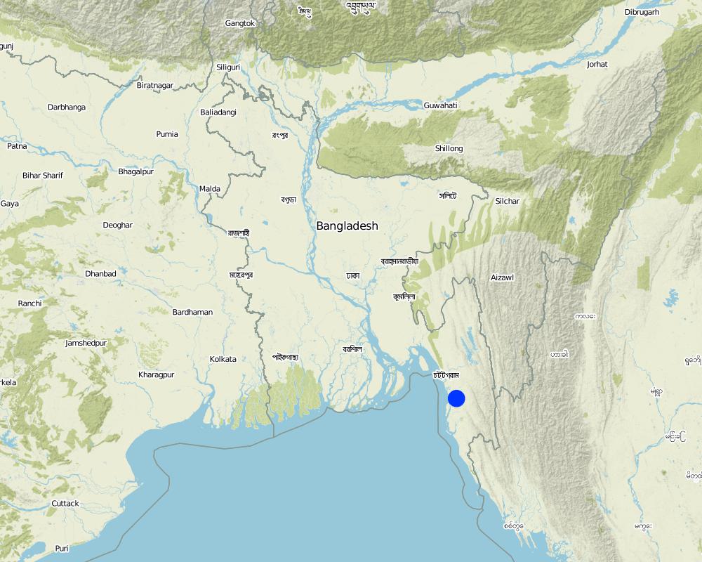
2.5 已应用该技术的、本评估所涵盖的国家/地区/地点
国家:
孟加拉国
区域/州/省:
Chittagong Hill Tracts
具体说明该技术的分布:
- 适用于特定场所/集中在较小区域
注释:
Total area covered by the SLM Technology is 0.004 km2.
New area interms of settlement under cooperative management system
Map
×2.6 实施日期
如果不知道确切的年份,请说明大概的日期:
- 50多年前(传统)
2.7 技术介绍
详细说明该技术是如何引入的:
- 作为传统系统的一部分(> 50 年)
注释(项目类型等):
From the past generations
3. SLM技术的分类
3.1 该技术的主要目的
- access to water
3.2 应用该技术的当前土地利用类型
同一土地单元内混合使用的土地::
是

农田
每年的生长季节数:
- 2

水道、水体、湿地
- 池塘、大坝
主要产品/服务:
water harvesting,aquaculture, house hold uses and irrigation of seasonal crops
注释:
Major land use problems (compiler’s opinion): Most land are sloping, medium fertility, poor vegetative cover in the catchments, lack of improved technology, poor economy
Major land use problems (land users’ perception): Small amount of flat land, soil fertility degradation, lack of capital, difficult to work in the slopy area.
3.5 该技术所属的SLM组
- 集水
- 灌溉管理(包括供水、排水)
3.6 包含该技术的可持续土地管理措施

结构措施
- S5:大坝、集水斗、水池
3.7 该技术强调的主要土地退化类型

土壤水蚀
- Wt:表土流失/地表侵蚀
注释:
Main type of degradation addressed: Wt: loss of topsoil / surface erosion
4. 技术规范、实施活动、投入和成本
4.1 该技术的技术图纸
技术规范(与技术图纸相关):
Technical knowledge required for field staff / advisors: moderate
Main technical functions: control of dispersed runoff: retain / trap
Construction material (earth): Accumulation of soil to retain water.
Construction material (wood): reinforcement of bund and to protect slumping down.
For water harvesting: the ratio between the area where the harvested water is applied and the total area from which water is collected is: 1:200.00
Layout change according to natural and human environment: depending on valley width, depth and amount of water will be researved
4.2 有关投入和成本计算的一般信息
其它/国家货币(具体说明):
Taka
如相关,注明美元与当地货币的汇率(例如1美元=79.9巴西雷亚尔):1美元=:
60.0
注明雇用劳工的每日平均工资成本:
1.20
4.3 技术建立活动
| 活动 | 时间(季度) | |
|---|---|---|
| 1. | Bamboo structure preparation and earth working | 2 days |
| 2. | earth work | 5 days |
| 3. | Prepare out-let | 1 |
| 4. | Compacting bund | 2 |
| 5. | wooden poles piling , setting bamboo mat and soil dumping | 2-4 days |
4.4 技术建立所需要的费用和投入
注释:
Duration of establishment phase: 12 month(s)
4.5 维护/经常性活动
| 活动 | 时间/频率 | |
|---|---|---|
| 1. | Filling-up depressions formed during previous rainy season | 2 days/annual |
| 2. | Reparing bamboo mat | 2/annual |
| 3. | filling up with soils, protecting water likage,repairing bamboo mats etc. | 1-2 days / 1-2 times in a year |
4.6 维护/经常性活动所需要的费用和投入(每年)
注释:
Bands structure with length,width & height
4.7 影响成本的最重要因素
描述影响成本的最决定性因素:
Dam construction and maintenance
5. 自然和人文环境
5.1 气候
年降雨量
- < 250毫米
- 251-500毫米
- 501-750毫米
- 751-1,000毫米
- 1,001-1,500毫米
- 1,501-2,000毫米
- 2,001-3,000毫米
- 3,001-4,000毫米
- > 4,000毫米
有关降雨的规范/注释:
Seldom goes more than 3000
农业气候带
- 潮湿的
Prevail monsoon climate
5.2 地形
平均坡度:
- 水平(0-2%)
- 缓降(3-5%)
- 平缓(6-10%)
- 滚坡(11-15%)
- 崎岖(16-30%)
- 陡峭(31-60%)
- 非常陡峭(>60%)
地形:
- 高原/平原
- 山脊
- 山坡
- 山地斜坡
- 麓坡
- 谷底
垂直分布带:
- 0-100 m a.s.l.
- 101-500 m a.s.l.
- 501-1,000 m a.s.l.
- 1,001-1,500 m a.s.l.
- 1,501-2,000 m a.s.l.
- 2,001-2,500 m a.s.l.
- 2,501-3,000 m a.s.l.
- 3,001-4,000 m a.s.l.
- > 4,000 m a.s.l.
关于地形的注释和进一步规范:
Slopes on average: Narrow valley are generally with less slope gradient.Hilly slopes surrounding the reservoir
Landforms: Slopes are varaible and valleys are mostly V-shaped and narrow
5.3 土壤
平均土层深度:
- 非常浅(0-20厘米)
- 浅(21-50厘米)
- 中等深度(51-80厘米)
- 深(81-120厘米)
- 非常深(> 120厘米)
土壤质地(表土):
- 中粒(壤土、粉土)
- 细粒/重质(粘土)
表土有机质:
- 中(1-3%)
如有可能,附上完整的土壤描述或具体说明可用的信息,例如土壤类型、土壤酸碱度、阳离子交换能力、氮、盐度等。:
Soil texture (topsoil): Depends on the the soils of the catchments but fine soils are commonly washed out from upper catchments.
Soil fertility is medium and depends on the the soils of the catchments
Topsoil organic matter: High rainfall washes out top soil under thinly covered soil
Soil drainage / infiltration is poor in the valleys
Soil water storage capacity is high in finer soils and around the dam and medium if the soil are coarse
5.6 应用该技术的土地使用者的特征
非农收入:
- 低于全部收入的10%
相对财富水平:
- 平均水平
说明土地使用者的其他有关特征:
Population density: 10-50 persons/km2
Annual population growth: 2% - 3%
30% of the land users are average wealthy and own 4% of the land (own minimum 5 acre of land).
5.8 土地所有权、土地使用权和水使用权
土地所有权:
- 个人,有命名
土地使用权:
- 个人
6. 影响和结论性说明
6.4 成本效益分析
技术收益与技术建立成本相比如何(从土地使用者的角度看)?
短期回报:
稍微积极
长期回报:
积极
技术收益与技术维护成本/经常性成本相比如何(从土地使用者的角度看)?
短期回报:
稍微积极
长期回报:
积极
6.5 技术采用
- 1-10%
如若可行,进行量化(住户数量和/或覆盖面积):
5 households covering 10 percent of stated area
在所有采用这项技术的人当中,有多少人是自发的,即未获得任何物质奖励/付款?:
- 91-100%
注释:
5 land user families have adopted the Technology without any external material support
Comments on spontaneous adoption: survey results
There is a strong trend towards spontaneous adoption of the Technology
Comments on adoption trend: Due to higher benefits shown by the technolgy in the farmering site
7. 参考和链接
7.1 信息的方法/来源
链接和模块
全部展开 全部收起链接
无链接
模块
无模块