Establishment of intensive grazing areas on low productive slopes [Greece]
- Creation:
- Update:
- Compiler: Costas Kosmas
- Editor: –
- Reviewers: Ursula Gaemperli, Gudrun Schwilch
Βοσκότοπος
technologies_2900 - Greece
View sections
Expand all Collapse all1. General information
1.2 Contact details of resource persons and institutions involved in the assessment and documentation of the Technology
Key resource person(s)
land user:
SLM specialist:
Name of project which facilitated the documentation/ evaluation of the Technology (if relevant)
Interactive Soil Quality assessment in Europe and China for Agricultural productivity and Environmental Resilience (EU-iSQAPER)Name of the institution(s) which facilitated the documentation/ evaluation of the Technology (if relevant)
Agricultural University of Athens (AUA) - Greece1.3 Conditions regarding the use of data documented through WOCAT
When were the data compiled (in the field)?
14/09/2016
The compiler and key resource person(s) accept the conditions regarding the use of data documented through WOCAT:
Ja
1.4 Declaration on sustainability of the described Technology
Is the Technology described here problematic with regard to land degradation, so that it cannot be declared a sustainable land management technology?
Ja
Comments:
This technology favors soil erosion and land degradation for a short period (about one month) after sowing the plants.
2. Description of the SLM Technology
2.1 Short description of the Technology
Definition of the Technology:
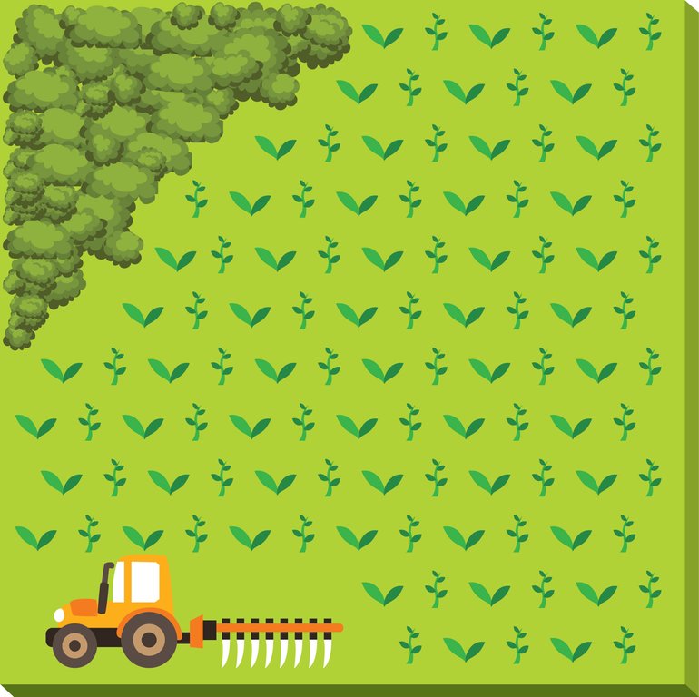
This technology consists of (a) ploughing the soil, (b) sowing the plants usually vetch or oat or in combination in November and (c) grazing the growing plants during spring. The main purpose of this technology is to increase the produced palatable biomass in a grazing land in which the biomass production is very low under natural conditions.
2.2 Detailed description of the Technology
Description:
The technology is applied on semi-arid areas of Asteroussia Mountains of Crete used as grazing land with an annual rainfall between 501-750 mm. These areas are usually highly degraded, characterized by steep mountainous slopes (31-60%). This technology was mainly found in shallow (depth: 21-50 cm), moderately fine textured soils which moderate concentrations of soil organic matter (1-3%). The stock breeders in the region use a special regime for transferring livestock grazing rights from the communities to individuals. Nowadays the off farm income of breeders is between 10-50% of their total income.
Looking back, in the early 1950s to the 1980s the Asteroussia Mountains were a livestock-specialized area. Livestock production was based on controlled summer grazing in the mountains and overwintering in the lowlands. After the early 1960s, the area increasingly felt the impact of agricultural mechanization and - by consequence - excessive under-occupied rural labor force, which led to disproportionate out-migration from the area. In areas where limited natural capital was already fully utilized, such as in Asteroussia Mountains, further growth through increasing flocks was only possible by importing fodder. In a parallel, increasing intensification of agriculture in the nearby Messara plain limited the opportunities for the tradition of transhumance. Throughout the mid-1980s–2010s the economy remained livestock-dominated but the population decline continued. However, the presence of foreign migrants offering cheap labor from the early 1990s onwards contributed to keep many farms active.
Coming back to the technology, it consists of: (a) clearing natural vegetation, usually perennial shrubs accompanied with annual plants including mainly grasses, (b) sowing of high value palatable plant species for animals such as oat, vetch, etc. during winter, (c) allowing plants to grow adequately, and (d) grazing by the animals mainly during spring for a period of about one month, and (e) keeping the land bare until next wet cultivation period starts. The purpose is to increase the available biomass for the grazing animals in areas of low productivity of natural vegetation suitable for them. The major activities consists of clearing the land, plowing usually by a bulldoze type tractor, sowing the seeds and adding appropriate fertilizers. However, the establishment of this technology may face problems in clearing natural vegetation, if the existing Greek institutional framework does not allow doing it. Land degradation and desertification are very frequent processes in semi-arid areas and both processes have been enhanced in the last decades by climatic variations and human activities. The EU-funded research project DESIRE in Eastern and Western Europe, Latin America, Africa and Asia have identified soil erosion, forest fires, and overgrazing among the most important causes of land degradation. The main benefit of this technology therefore is the increase in the amount of high quality palatable biomass for the grazing animals in degraded lands. Land users like this technology, if the number of animals is high, as without the technology they face problems of feeding them. However, such an action increases the cost of animal production such as milk. In addition, soil erosion problems are expected since land remains bare for some period of the year especially after sowing the plants.
2.3 Photos of the Technology
General remarks regarding photos:
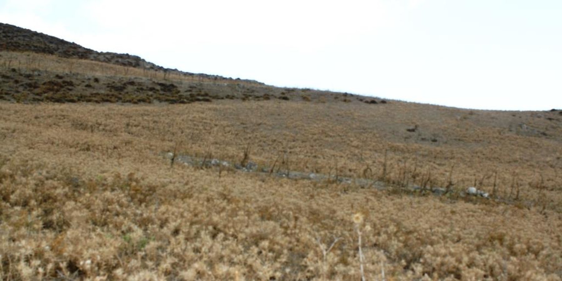
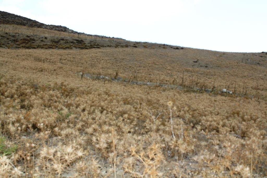
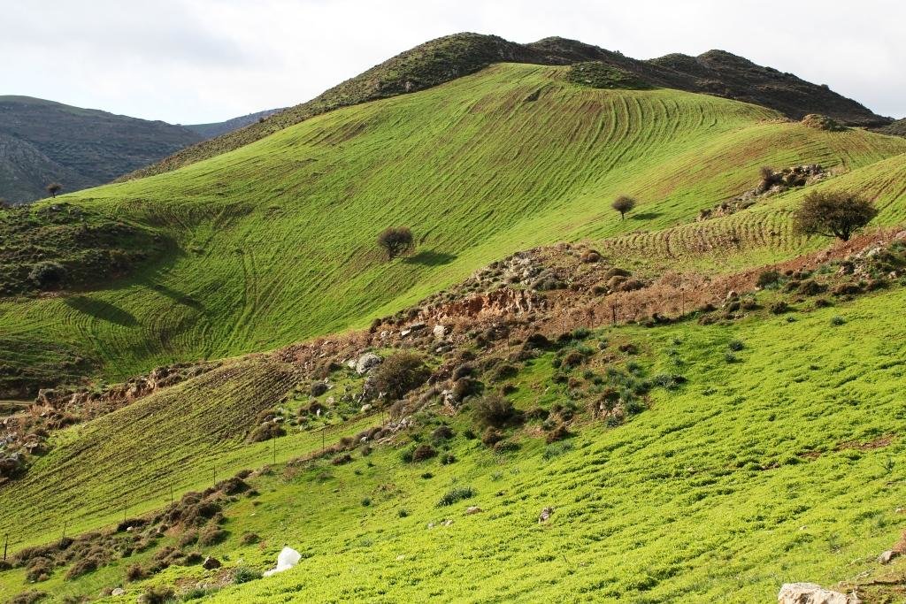
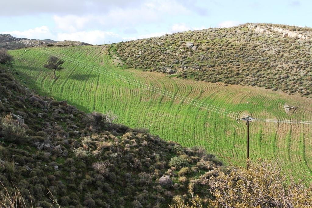
Down-slope ploughing is more secure for the farmer and less energy consumption for the machine used.
2.5 Country/ region/ locations where the Technology has been applied and which are covered by this assessment
Country:
Greece
Region/ State/ Province:
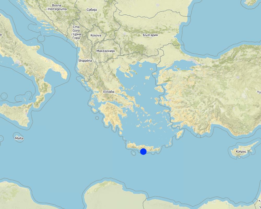
Crete, Heraklion province
Further specification of location:
Asteroussia Mountain, Paranimfi
Map
×2.6 Date of implementation
If precise year is not known, indicate approximate date:
- 10-50 years ago
2.7 Introduction of the Technology
Specify how the Technology was introduced:
- as part of a traditional system (> 50 years)
Comments (type of project, etc.):
The technology continues to be applied since farmers are trying to produce more palatable biomass for the grazing animals as the productivity of the land with the natural vegetation is low.
3. Classification of the SLM Technology
3.1 Main purpose(s) of the Technology
- improve production
- create beneficial economic impact
3.2 Current land use type(s) where the Technology is applied

Grazing land
Extensive grazing land:
- Ranching
Intensive grazing/ fodder production:
- Improved pastures
Main animal species and products:
Sheep and goats for meat and milk production
If land use has changed due to the implementation of the Technology, indicate land use before implementation of the Technology:
Natural vegetation consisting mainly of shruby vegetation.
3.3 Further information about land use
Water supply for the land on which the Technology is applied:
- rainfed
Number of growing seasons per year:
- 1
Livestock density (if relevant):
20-25 animals/ha
3.4 SLM group to which the Technology belongs
- pastoralism and grazing land management
3.5 Spread of the Technology
Specify the spread of the Technology:
- evenly spread over an area
If the Technology is evenly spread over an area, indicate approximate area covered:
- < 0.1 km2 (10 ha)
Comments:
Isolated fields with relatively deep soils and low slope gradient
3.6 SLM measures comprising the Technology

agronomic measures
- A1: Vegetation/ soil cover

vegetative measures
- V2: Grasses and perennial herbaceous plants
3.7 Main types of land degradation addressed by the Technology

soil erosion by water
- Wt: loss of topsoil/ surface erosion
3.8 Prevention, reduction, or restoration of land degradation
Specify the goal of the Technology with regard to land degradation:
- reduce land degradation
4. Technical specifications, implementation activities, inputs, and costs
4.1 Technical drawing of the Technology
4.2 Technical specifications/ explanations of technical drawing
The technical specifications of the technology are known to almost all the people working on animal feeding. It requires a field of at least one hectare with the following soil characteristics: (a) soil depth of at least 30 cm, (b) soil texture medium to fine, (c) slope gradient less than 25%. In addition, the annual rainfall must be greater than 350 mm with an annual air temperature higher than 12° C.
4.3 General information regarding the calculation of inputs and costs
Specify how costs and inputs were calculated:
- per Technology area
Indicate size and area unit:
one hectare
Specify currency used for cost calculations:
- US Dollars
Indicate average wage cost of hired labour per day:
40
4.4 Establishment activities
| Activity | Type of measure | Timing | |
|---|---|---|---|
| 1. | Clearing the field by mouldboard plough. | Agronomic | November |
4.5 Costs and inputs needed for establishment
| Specify input | Unit | Quantity | Costs per Unit | Total costs per input | % of costs borne by land users | |
|---|---|---|---|---|---|---|
| Labour | Clearing the field | person - days | 2.0 | 40.0 | 80.0 | 100.0 |
| Equipment | Tractor equiped with a mouldboard | 1 | 1.0 | 60.0 | 60.0 | 100.0 |
| Total costs for establishment of the Technology | 140.0 | |||||
4.6 Maintenance/ recurrent activities
| Activity | Type of measure | Timing/ frequency | |
|---|---|---|---|
| 1. | Ploughing | Agronomic | once per year |
| 2. | Fertilization | Agronomic | once per year |
| 3. | Sowing | Vegetative | once per year |
4.7 Costs and inputs needed for maintenance/ recurrent activities (per year)
| Specify input | Unit | Quantity | Costs per Unit | Total costs per input | % of costs borne by land users | |
|---|---|---|---|---|---|---|
| Labour | Ploughing | person-days | 0.2 | 40.0 | 8.0 | 100.0 |
| Labour | Sowing | person-days | 0.2 | 40.0 | 8.0 | 100.0 |
| Labour | Fertilizing | person-days | 0.2 | 400.0 | 80.0 | 100.0 |
| Equipment | Tractor equiped with a mouldboard | 1 | 0.5 | 60.0 | 30.0 | 100.0 |
| Plant material | Seed | Kg/ha | 250.0 | 0.2 | 50.0 | 100.0 |
| Fertilizers and biocides | Fertilization | Kg/ha | 350.0 | 0.4 | 140.0 | 100.0 |
| Total costs for maintenance of the Technology | 316.0 | |||||
4.8 Most important factors affecting the costs
Describe the most determinate factors affecting the costs:
Fertilizers and seeds
5. Natural and human environment
5.1 Climate
Annual rainfall
- < 250 mm
- 251-500 mm
- 501-750 mm
- 751-1,000 mm
- 1,001-1,500 mm
- 1,501-2,000 mm
- 2,001-3,000 mm
- 3,001-4,000 mm
- > 4,000 mm
Specify average annual rainfall (if known), in mm:
670.00
Specifications/ comments on rainfall:
Low-elevation areas receive an annual rainfall ranging between 500-750 mm, while the upper mountainous area (highest elevation: 1231 m at the sea level) receives up to 1250 mm of rain.
Indicate the name of the reference meteorological station considered:
Hellenic National Meteorological Service, station of Gortina
Agro-climatic zone
- semi-arid
The majority of the area is characterized by an average air temperature ranging between 15°C and 18°C. Rainfall is falling from late fall to middle spring. The ETo (Potential Evapotranspiration) is high receiving values up to 1650 mm.
5.2 Topography
Slopes on average:
- flat (0-2%)
- gentle (3-5%)
- moderate (6-10%)
- rolling (11-15%)
- hilly (16-30%)
- steep (31-60%)
- very steep (>60%)
Landforms:
- plateau/plains
- ridges
- mountain slopes
- hill slopes
- footslopes
- valley floors
Altitudinal zone:
- 0-100 m a.s.l.
- 101-500 m a.s.l.
- 501-1,000 m a.s.l.
- 1,001-1,500 m a.s.l.
- 1,501-2,000 m a.s.l.
- 2,001-2,500 m a.s.l.
- 2,501-3,000 m a.s.l.
- 3,001-4,000 m a.s.l.
- > 4,000 m a.s.l.
Indicate if the Technology is specifically applied in:
- not relevant
Comments and further specifications on topography:
Hilly areas of various slopes and landforms. The Technology is only suitable for slope gradients less than 25%.
5.3 Soils
Soil depth on average:
- very shallow (0-20 cm)
- shallow (21-50 cm)
- moderately deep (51-80 cm)
- deep (81-120 cm)
- very deep (> 120 cm)
Soil texture (topsoil):
- medium (loamy, silty)
- fine/ heavy (clay)
Soil texture (> 20 cm below surface):
- medium (loamy, silty)
- fine/ heavy (clay)
Topsoil organic matter:
- medium (1-3%)
If available, attach full soil description or specify the available information, e.g. soil type, soil PH/ acidity, Cation Exchange Capacity, nitrogen, salinity etc.
These soils are characterized by a surface A-horizon usually 12-18 cm thick and an underlying cambic B-horizon. Leptosols or Cambisols are the dominant soil units in the area. Soils are mainly moderately fine-textured. The 15-30 cm soil depth class is dominant throughout the area. Relatively deep soils (class 30-60 cm) have been mapped in patches. Some of these areas are used as cropland and grazing land. Slope gradient ranges between 2% and 60%. The slope class 35-60% is the dominant class covering the 49% of the total land. The minimum soil depth necessary for the Technology is 30 cm.
5.4 Water availability and quality
Ground water table:
> 50 m
Availability of surface water:
poor/ none
Water quality (untreated):
good drinking water
Is water salinity a problem?
Nee
Is flooding of the area occurring?
Nee
5.5 Biodiversity
Species diversity:
- high
Habitat diversity:
- medium
Comments and further specifications on biodiversity:
The most important land cover types are schlerophyllous vegetation, transitional woodland-shrubs and sparsely vegetated areas covering the 88% of the total area. The rest of the area is covered by agricultural crops, mainly olive trees and cereals. The dominant woody plant species in the area include Olea sylvestris, Olea Europa, Salix alba (along watercourses), Pyrus amygdaliformis, Prunus webbii, Thymus capitatus, Salvia triloba, Flomis lanata, Flomis fruticosa, Sarcopoterium spinosum, Calicotome vilosa, Scilla maritime, Asfodelus aestivus, Euphorbia characias. Overgrazing coupled with frequent fires shaped the vegetation pattern in the area determining the predominance of the less palatable fire-tolerant plant species. The above-mentioned state of biodiversity existed before clearing the land even in degraded areas.
5.6 Characteristics of land users applying the Technology
Sedentary or nomadic:
- Sedentary
Market orientation of production system:
- mixed (subsistence/ commercial
Off-farm income:
- 10-50% of all income
Relative level of wealth:
- average
Individuals or groups:
- individual/ household
Level of mechanization:
- mechanized/ motorized
Gender:
- men
Age of land users:
- middle-aged
5.7 Average area of land owned or leased by land users applying the Technology
- < 0.5 ha
- 0.5-1 ha
- 1-2 ha
- 2-5 ha
- 5-15 ha
- 15-50 ha
- 50-100 ha
- 100-500 ha
- 500-1,000 ha
- 1,000-10,000 ha
- > 10,000 ha
Is this considered small-, medium- or large-scale (referring to local context)?
- medium-scale
5.8 Land ownership, land use rights, and water use rights
Land ownership:
- state
- individual, titled
Land use rights:
- communal (organized)
Water use rights:
- communal (organized)
Comments:
Nowadays in Crete livestock grazing is allowed due to a special regime for transferring grazing rights from the communities to individuals (Papanastasis, 1993).
5.9 Access to services and infrastructure
health:
- poor
- moderate
- good
education:
- poor
- moderate
- good
technical assistance:
- poor
- moderate
- good
employment (e.g. off-farm):
- poor
- moderate
- good
markets:
- poor
- moderate
- good
energy:
- poor
- moderate
- good
roads and transport:
- poor
- moderate
- good
drinking water and sanitation:
- poor
- moderate
- good
financial services:
- poor
- moderate
- good
6. Impacts and concluding statements
6.1 On-site impacts the Technology has shown
Socio-economic impacts
Production
fodder production
Comments/ specify:
Increase in biomass production for feeding the animals
animal production
Comments/ specify:
In consequence of increased fodder production
Ecological impacts
Water cycle/ runoff
surface runoff
Comments/ specify:
There are not available data on surface runoff for the area.
Soil
soil moisture
Quantity before SLM:
-1
Quantity after SLM:
1
soil loss
Quantity before SLM:
1
Quantity after SLM:
-1
Comments/ specify:
Increase in soil erosion due to removal of natural vegetation
Biodiversity: vegetation, animals
plant diversity
Comments/ specify:
Because the natural vegetation is cleared.
6.2 Off-site impacts the Technology has shown
downstream flooding
Comments/ specify:
The soil sediments are transported in the low land of Messara valley or into the sea.
6.3 Exposure and sensitivity of the Technology to gradual climate change and climate-related extremes/ disasters (as perceived by land users)
Gradual climate change
Gradual climate change
| Season | Type of climatic change/ extreme | How does the Technology cope with it? | |
|---|---|---|---|
| annual temperature | increase | moderately |
6.4 Cost-benefit analysis
How do the benefits compare with the establishment costs (from land users’ perspective)?
Short-term returns:
positive
Long-term returns:
positive
How do the benefits compare with the maintenance/ recurrent costs (from land users' perspective)?
Short-term returns:
positive
Long-term returns:
positive
6.5 Adoption of the Technology
- more than 50%
Of all those who have adopted the Technology, how many have did so spontaneously, i.e. without receiving any material incentives/ payments?
- 90-100%
6.6 Adaptation
Has the Technology been modified recently to adapt to changing conditions?
Nee
6.7 Strengths/ advantages/ opportunities of the Technology
| Strengths/ advantages/ opportunities in the land user’s view |
|---|
| The advantage of the technology is the increase of biomass production for feeding the animals in areas of low natural grass production. |
| Strengths/ advantages/ opportunities in the compiler’s or other key resource person’s view |
|---|
| The advantage of the technology is the increase of biomass production for feeding the animals in areas of low natural grass production. |
6.8 Weaknesses/ disadvantages/ risks of the Technology and ways of overcoming them
| Weaknesses/ disadvantages/ risks in the land user’s view | How can they be overcome? |
|---|---|
| Decline of biodiversity | |
| Create some problems of soil erosion during installation |
| Weaknesses/ disadvantages/ risks in the compiler’s or other key resource person’s view | How can they be overcome? |
|---|---|
| Decline of biodiversity | |
| Soil erosion at the initial stage of ploughing the land | From the increase in soil plant cover |
7. References and links
7.1 Methods/ sources of information
- field visits, field surveys
Mapping the whole area in a scale 1:30,000
- interviews with land users
Land users have complete questionnaires during the execution of the EU research project LEDDRA
7.2 References to available publications
Title, author, year, ISBN:
Costas Kosmas, Vassilis Detsis, Mina Karamesouti, Kate Kounalaki, Penny Vassiliou and Luca Salvati. 2015. Exploring Long-Term Impact of Grazing Management on Land Degradation in the Socio-Ecological System of Asteroussia Mountains, Greece Land 4:541-559 doi:10.3390/land4030541.
Available from where? Costs?
URL: http://www.mdpi.com/2073-445X/4/3/541/htm
Title, author, year, ISBN:
Papanastasis, V., 1993. Legal status of land tenure and use and its implication for open landscapes of western Crete. Landscape and Urban Planning, 24, 273-277.
7.3 Links to relevant information which is available online
Title/ description:
European framework EC-DG RTD, 7th Framework Research Programme (sub-priority ENV-2009-2.1.3.2), Research on Desertification Process and Land Degradation, project LEDDRA (243857): Land and Ecosystem Degradation and Desertification: Assessing the Fit of Responses.
Links and modules
Expand all Collapse allLinks
No links
Modules
No modules


