Non tillage [Spain]
- Creation:
- Update:
- Compiler: Artemi Cerda
- Editor: –
- Reviewers: Fabian Ottiger, Alexandra Gavilano
Non tillage
technologies_1264 - Spain
View sections
Expand all Collapse all1. General information
1.2 Contact details of resource persons and institutions involved in the assessment and documentation of the Technology
SLM specialist:
Morera Antonio Giménez
geografiavalencia@gmail.com
Name of the institution(s) which facilitated the documentation/ evaluation of the Technology (if relevant)
Universidad de Valencia (Universidad de Valencia) - Spain1.3 Conditions regarding the use of data documented through WOCAT
When were the data compiled (in the field)?
24/03/2015
The compiler and key resource person(s) accept the conditions regarding the use of data documented through WOCAT:
Yes
1.4 Declaration on sustainability of the described Technology
Is the Technology described here problematic with regard to land degradation, so that it cannot be declared a sustainable land management technology?
No
2. Description of the SLM Technology
2.1 Short description of the Technology
Definition of the Technology:
The most commonly identified feature of no-tillage is that as much as possible of the surface residue from the previous crop and annual grasses are left intact on the surface of the ground, whether this be the flattened or standing stubble of an arable crop that has been harvested or a sprayed dense sward of grass.
2.2 Detailed description of the Technology
Description:
In Vineyard area from Valencia (south-east Spain), the research team of the University of Valencia set up an experiment in order to test the effectiveness of non-tillage in order to keep high soil moisture levels and decrease soil water erosion.
Purpose of the Technology: The increase in ground cover that keep intact the soil structure, enhances soil superficial properties and improve water infiltration and reduces runoff and soil losses.
Establishment / maintenance activities and inputs: No-tillage. Clearing annual grasses twice per year on peak growing season.
Natural / human environment: The landscape reflects the long history of management where several constructions related with wine production depicted its importance on this region. Since the late 1960´s, chemical agriculture by use of fertilizers and herbicides, and new vineyards plantations seasonally leave the soil surface bare, triggering huge erosion rates.
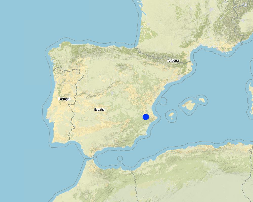
2.5 Country/ region/ locations where the Technology has been applied and which are covered by this assessment
Country:
Spain
Region/ State/ Province:
Spain
Further specification of location:
Valencia
Map
×3. Classification of the SLM Technology
3.2 Current land use type(s) where the Technology is applied

Cropland
- Tree and shrub cropping
Comments:
Major land use problems (compiler’s opinion): Increased runoff and soil erosion, resulting in a decrease of on-site fertility, water storage, and 'weakness' of hydrological soil properties.
Major land use problems (land users’ perception): Loss of soil water resources and productivity.
Natural / human environment: The landscape reflects the long history of management where several constructions related with wine production depicted its importance on this region. Since the late 1960´s, chemical agriculture by use of fertilizers and herbicides, and new vineyards plantations seasonally leave the soil surface bare, triggering huge erosion rates.
If land use has changed due to the implementation of the Technology, indicate land use before implementation of the Technology:
Purpose of the Technology: The increase in ground cover that keep intact the soil structure, enhances soil superficial properties and improve water infiltration and reduces runoff and soil losses.
Change of land use practices / intensity level: The non-tillage implies a change of land use practices. Soil structure won't be broken and soil biopores keep connected
3.3 Further information about land use
Comments:
Water supply: rainfed, mixed rainfed - irrigated
Specify:
Longest growing period in days: 180 Longest growing period from month to month: february to july
3.4 SLM group to which the Technology belongs
- cross-slope measure
3.6 SLM measures comprising the Technology

agronomic measures
- A3: Soil surface treatment

vegetative measures
- V3: Clearing of vegetation

management measures
- M2: Change of management/ intensity level
Comments:
Main measures: vegetative measures, management measures
Type of agronomic measures: retaining more vegetation cover, mulching, zero tillage / no-till
3.7 Main types of land degradation addressed by the Technology

soil erosion by water
- Wt: loss of topsoil/ surface erosion
Comments:
Main causes of degradation: soil management, Heavy / extreme rainfall (intensity/amounts)
Secondary causes of degradation: crop management (annual, perennial, tree/shrub), deforestation / removal of natural vegetation (incl. forest fires), over-exploitation of vegetation for domestic use, overgrazing, industrial activities and mining, urbanisation and infrastructure development, discharges (point contamination of water), release of airborne pollutants (urban/industry…), disturbance of water cycle (infiltration / runoff), over abstraction / excessive withdrawal of water (for irrigation, industry, etc.), change in temperature, change of seasonal rainfall, wind storms / dust storms, floods, droughts, population pressure, land tenure, poverty / wealth, labour availability, inputs and infrastructure: (roads, markets, distribution of water points, other, …), education, access to knowledge and support services, war and conflicts, governance / institutional
3.8 Prevention, reduction, or restoration of land degradation
Specify the goal of the Technology with regard to land degradation:
- prevent land degradation
Comments:
Main goals: prevention of land degradation
Secondary goals: mitigation / reduction of land degradation, rehabilitation / reclamation of denuded land
4. Technical specifications, implementation activities, inputs, and costs
4.2 Technical specifications/ explanations of technical drawing
Main technical functions: improvement of ground cover, increase of surface roughness, increase in organic matter, increase of infiltration, increase / maintain water stored in soil, sediment retention / trapping, sediment harvesting
Secondary technical functions: control of raindrop splash, control of dispersed runoff: retain / trap, control of dispersed runoff: impede / retard, control of concentrated runoff: retain / trap, control of concentrated runoff: impede / retard, control of concentrated runoff: drain / divert, reduction of slope angle, reduction of slope length, improvement of surface structure (crusting, sealing), improvement of topsoil structure (compaction), improvement of subsoil structure (hardpan), stabilisation of soil (eg by tree roots against land slides), increase in nutrient availability (supply, recycling,…), increase of groundwater level / recharge of groundwater, water harvesting / increase water supply, water spreading, improvement of water quality, buffering / filtering water, reduction in wind speed, increase of biomass (quantity), promotion of vegetation species and varieties (quality, eg palatable fodder), control of fires, reduction of dry material (fuel for wildfires), spatial arrangement and diversification of land use
Retaining more vegetation cover
Material/ species: non-tillage keep annual grasses cover
Mulching
Material/ species: non-tillage and clearing keep soil covered
Change of land use practices / intensity level: The non-tillage implies a change of land use practices. Soil structure won't be broken and soil biopores keep connected
5. Natural and human environment
5.1 Climate
Annual rainfall
- < 250 mm
- 251-500 mm
- 501-750 mm
- 751-1,000 mm
- 1,001-1,500 mm
- 1,501-2,000 mm
- 2,001-3,000 mm
- 3,001-4,000 mm
- > 4,000 mm
Specifications/ comments on rainfall:
Mediterranean climate with concentred precipitation in february-may and september-december months. Drought from june to september
Agro-climatic zone
- sub-humid
- semi-arid
Thermal climate class: temperate (Transition zone between semi-arid and subhumid)
5.2 Topography
Slopes on average:
- flat (0-2%)
- gentle (3-5%)
- moderate (6-10%)
- rolling (11-15%)
- hilly (16-30%)
- steep (31-60%)
- very steep (>60%)
Landforms:
- plateau/plains
- ridges
- mountain slopes
- hill slopes
- footslopes
- valley floors
Altitudinal zone:
- 0-100 m a.s.l.
- 101-500 m a.s.l.
- 501-1,000 m a.s.l.
- 1,001-1,500 m a.s.l.
- 1,501-2,000 m a.s.l.
- 2,001-2,500 m a.s.l.
- 2,501-3,000 m a.s.l.
- 3,001-4,000 m a.s.l.
- > 4,000 m a.s.l.
Comments and further specifications on topography:
Landforms: Also valley floors
Altitudinal zones: 500 meters above sea level
5.3 Soils
Soil depth on average:
- very shallow (0-20 cm)
- shallow (21-50 cm)
- moderately deep (51-80 cm)
- deep (81-120 cm)
- very deep (> 120 cm)
Soil texture (topsoil):
- medium (loamy, silty)
Topsoil organic matter:
- medium (1-3%)
If available, attach full soil description or specify the available information, e.g. soil type, soil PH/ acidity, Cation Exchange Capacity, nitrogen, salinity etc.
Soil fertility is medium
Soil drainage/infiltration is medium
Soil water storage capacity is medium
5.4 Water availability and quality
Ground water table:
5-50 m
Availability of surface water:
poor/ none
Water quality (untreated):
for agricultural use only (irrigation)
5.5 Biodiversity
Species diversity:
- medium
5.6 Characteristics of land users applying the Technology
Off-farm income:
- > 50% of all income
Relative level of wealth:
- average
Level of mechanization:
- manual work
- mechanized/ motorized
5.7 Average area of land owned or leased by land users applying the Technology
- < 0.5 ha
- 0.5-1 ha
- 1-2 ha
- 2-5 ha
- 5-15 ha
- 15-50 ha
- 50-100 ha
- 100-500 ha
- 500-1,000 ha
- 1,000-10,000 ha
- > 10,000 ha
5.9 Access to services and infrastructure
health:
- poor
- moderate
- good
education:
- poor
- moderate
- good
technical assistance:
- poor
- moderate
- good
employment (e.g. off-farm):
- poor
- moderate
- good
markets:
- poor
- moderate
- good
energy:
- poor
- moderate
- good
roads and transport:
- poor
- moderate
- good
drinking water and sanitation:
- poor
- moderate
- good
financial services:
- poor
- moderate
- good
6. Impacts and concluding statements
6.1 On-site impacts the Technology has shown
Socio-economic impacts
Income and costs
expenses on agricultural inputs
workload
Socio-cultural impacts
SLM/ land degradation knowledge
Ecological impacts
Water cycle/ runoff
water quality
surface runoff
excess water drainage
groundwater table/ aquifer
evaporation
Soil
soil moisture
soil cover
soil loss
soil crusting/ sealing
soil compaction
nutrient cycling/ recharge
salinity
soil organic matter/ below ground C
Biodiversity: vegetation, animals
biomass/ above ground C
Climate and disaster risk reduction
emission of carbon and greenhouse gases
6.2 Off-site impacts the Technology has shown
downstream siltation
buffering/ filtering capacity
wind transported sediments
6.3 Exposure and sensitivity of the Technology to gradual climate change and climate-related extremes/ disasters (as perceived by land users)
Gradual climate change
Gradual climate change
| Season | Type of climatic change/ extreme | How does the Technology cope with it? | |
|---|---|---|---|
| annual temperature | increase | not known |
Climate-related extremes (disasters)
Meteorological disasters
| How does the Technology cope with it? | |
|---|---|
| local rainstorm | well |
| local windstorm | not well |
Climatological disasters
| How does the Technology cope with it? | |
|---|---|
| drought | not well |
Hydrological disasters
| How does the Technology cope with it? | |
|---|---|
| general (river) flood | not known |
Other climate-related consequences
Other climate-related consequences
| How does the Technology cope with it? | |
|---|---|
| reduced growing period | not known |
6.7 Strengths/ advantages/ opportunities of the Technology
| Strengths/ advantages/ opportunities in the land user’s view |
|---|
| It decreases labour cost and use of machinery. |
| Strengths/ advantages/ opportunities in the compiler’s or other key resource person’s view |
|---|
| It is a technology easy to apply. Non-tillage implies an improvement of soil structure and soil biopores connection which is reflectected in a strong soil erosion control. |
Links and modules
Expand all Collapse allLinks
No links
Modules
No modules