Earth dam for stockwater [South Africa]
- Creation:
- Update:
- Compiler: Jannie Nel
- Editor: –
- Reviewers: Alexandra Gavilano, David Streiff, Joana Eichenberger
technologies_1376 - South Africa
View sections
Expand all Collapse all1. General information
1.2 Contact details of resource persons and institutions involved in the assessment and documentation of the Technology
Name of the institution(s) which facilitated the documentation/ evaluation of the Technology (if relevant)
Department of Agriculture (Department of Agriculture) - Zambia1.3 Conditions regarding the use of data documented through WOCAT
The compiler and key resource person(s) accept the conditions regarding the use of data documented through WOCAT:
Yes
2. Description of the SLM Technology
2.1 Short description of the Technology
Definition of the Technology:
Construction of earth dams to provide stock water
2.2 Detailed description of the Technology
Description:
Bulldozers were used to build earth dams and to move the soil to construct bankments and spillways in a river or natural run-off (water course of some kind). No concrete or rock is used, only soil up to a certain slope of sides or crests. The main concern is to provide water to seep through the spillway large enough to discharge the excess water from the catchment whenever the dam is full. Normally the spillway is constructed so that the water doesn’t cause erosion in the spillway itself.
Purpose of the Technology: The purpose was to catch water to provide stock water for animals in the rural areas (de-silt earth dam in 5-10 years time close to the village, dams far away in the veld silt up in a longer time).
Establishment / maintenance activities and inputs: Maintenance is done in winter when rain is not expected. All the dams are seasonal, water is only available for 2 months after the rainy season (June - September). Evaporation is very high, and cleaning up and fixing-up are necessary.
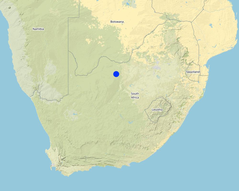
2.5 Country/ region/ locations where the Technology has been applied and which are covered by this assessment
Country:
South Africa
Region/ State/ Province:
North West Province
Further specification of location:
Eastern Regions of North West
Specify the spread of the Technology:
- applied at specific points/ concentrated on a small area
Comments:
Total area covered by the SLM Technology is 184 km2.
All farm cattle are communal. Ruighoek town the only big village in the area.
Map
×2.6 Date of implementation
If precise year is not known, indicate approximate date:
- more than 50 years ago (traditional)
2.7 Introduction of the Technology
Specify how the Technology was introduced:
- as part of a traditional system (> 50 years)
Comments (type of project, etc.):
Comes from a need which people had
3. Classification of the SLM Technology
3.1 Main purpose(s) of the Technology
- access to water
3.2 Current land use type(s) where the Technology is applied

Grazing land
Extensive grazing:
- Nomadism

Settlements, infrastructure
- Settlements, buildings
Comments:
Major land use problems (compiler’s opinion): Communal ownership system, grass belong to everybody - not one owner. Overgrazing as far the little boys (witch look after the cattle) can walk, in the rest undergrazing, no proper management, no knowledge, no infrastructure
Major land use problems (land users’ perception): Land doesn’t belong to him, can’t put infrastructure in (fence, water) for cattle farming.
Drought, fire (caused by human), some people still belief that veld get sweeter if it is burned each year
Nomadism: Yes
Number of growing seasons per year: 1
Longest growing period in days: 150; Longest growing period from month to month: Oct - Feb
3.5 SLM group to which the Technology belongs
- water harvesting
3.6 SLM measures comprising the Technology

structural measures
- S5: Dams, pans, ponds
3.8 Prevention, reduction, or restoration of land degradation
Specify the goal of the Technology with regard to land degradation:
- prevent land degradation
- reduce land degradation
Comments:
Secondary goals: prevention of land degradation
4. Technical specifications, implementation activities, inputs, and costs
4.1 Technical drawing of the Technology
Technical specifications (related to technical drawing):
Technical knowledge required for field staff / advisors: high
Main technical functions: water harvesting / increase water supply
Secondary technical functions: control of concentrated runoff: retain / trap, sediment retention / trapping, sediment harvesting
Grass species: Kikuyu grass or any natural grass
Vegetation is used for stabilisation of structures.
4.2 General information regarding the calculation of inputs and costs
other/ national currency (specify):
Rand
If relevant, indicate exchange rate from USD to local currency (e.g. 1 USD = 79.9 Brazilian Real): 1 USD =:
6.0
4.3 Establishment activities
| Activity | Timing (season) | |
|---|---|---|
| 1. | No planting, it has to grow itself | |
| 2. | Clearing the foundation | 5 days (in winter) |
| 3. | Gather soil for the embankement (only good soil) | 5 days (in winter) |
| 4. | Push the embanquement | 2 weeks |
| 5. | Excavation of the spillways | 1 week |
| 6. | Clearing of the basin, a little bit | 2 days |
4.4 Costs and inputs needed for establishment
| Specify input | Unit | Quantity | Costs per Unit | Total costs per input | % of costs borne by land users | |
|---|---|---|---|---|---|---|
| Equipment | Machine use for dam construction | ha | 1.0 | 6700.0 | 6700.0 | |
| Total costs for establishment of the Technology | 6700.0 | |||||
| Total costs for establishment of the Technology in USD | 1116.67 | |||||
4.5 Maintenance/ recurrent activities
| Activity | Timing/ frequency | |
|---|---|---|
| 1. | The cattle will eat it | |
| 2. | Repairing the dam | |
| 3. | Repairing the spillways | 1-3 years |
| 4. | If dams is dry, take out the sediments | Winter/1-3 years |
4.6 Costs and inputs needed for maintenance/ recurrent activities (per year)
| Specify input | Unit | Quantity | Costs per Unit | Total costs per input | % of costs borne by land users | |
|---|---|---|---|---|---|---|
| Equipment | Machine use for dam maintenance | ha | 1.0 | 835.0 | 835.0 | |
| Total costs for maintenance of the Technology | 835.0 | |||||
| Total costs for maintenance of the Technology in USD | 139.17 | |||||
Comments:
Earth moving
4.7 Most important factors affecting the costs
Describe the most determinate factors affecting the costs:
Machine running cost
5. Natural and human environment
5.1 Climate
Annual rainfall
- < 250 mm
- 251-500 mm
- 501-750 mm
- 751-1,000 mm
- 1,001-1,500 mm
- 1,501-2,000 mm
- 2,001-3,000 mm
- 3,001-4,000 mm
- > 4,000 mm
Specifications/ comments on rainfall:
Evaporation high
Agro-climatic zone
- semi-arid
5.2 Topography
Slopes on average:
- flat (0-2%)
- gentle (3-5%)
- moderate (6-10%)
- rolling (11-15%)
- hilly (16-30%)
- steep (31-60%)
- very steep (>60%)
Landforms:
- plateau/plains
- ridges
- mountain slopes
- hill slopes
- footslopes
- valley floors
Altitudinal zone:
- 0-100 m a.s.l.
- 101-500 m a.s.l.
- 501-1,000 m a.s.l.
- 1,001-1,500 m a.s.l.
- 1,501-2,000 m a.s.l.
- 2,001-2,500 m a.s.l.
- 2,501-3,000 m a.s.l.
- 3,001-4,000 m a.s.l.
- > 4,000 m a.s.l.
5.3 Soils
Soil depth on average:
- very shallow (0-20 cm)
- shallow (21-50 cm)
- moderately deep (51-80 cm)
- deep (81-120 cm)
- very deep (> 120 cm)
Soil texture (topsoil):
- fine/ heavy (clay)
Topsoil organic matter:
- medium (1-3%)
If available, attach full soil description or specify the available information, e.g. soil type, soil PH/ acidity, Cation Exchange Capacity, nitrogen, salinity etc.
Soil depth on average: In February
Soil fertility is high
Soil water storage capacity is very high
5.6 Characteristics of land users applying the Technology
Off-farm income:
- > 50% of all income
Relative level of wealth:
- poor
Indicate other relevant characteristics of the land users:
100% of the land users are poor and own 80% of the land (Communal farmers).
Off-farm income specification: Farming can't sustain the people
5.8 Land ownership, land use rights, and water use rights
Land ownership:
- communal/ village
Land use rights:
- communal (organized)
6. Impacts and concluding statements
6.1 On-site impacts the Technology has shown
Socio-economic impacts
Production
production area
Ecological impacts
Water cycle/ runoff
water quantity
Comments/ specify:
water harvesting
excess water drainage
6.2 Off-site impacts the Technology has shown
downstream flooding
downstream siltation
6.5 Adoption of the Technology
Comments:
There is no trend towards spontaneous adoption of the Technology
6.7 Strengths/ advantages/ opportunities of the Technology
| Strengths/ advantages/ opportunities in the land user’s view |
|---|
|
Water for animals How can they be sustained / enhanced? More dams |
| Strengths/ advantages/ opportunities in the compiler’s or other key resource person’s view |
|---|
|
Runoff control in stream bed How can they be sustained / enhanced? More dams |
|
Add to under ground water supply How can they be sustained / enhanced? More dams |
|
Provide stock water How can they be sustained / enhanced? More dams |
|
Facilitate grazing rotation How can they be sustained / enhanced? More dams |
6.8 Weaknesses/ disadvantages/ risks of the Technology and ways of overcoming them
| Weaknesses/ disadvantages/ risks in the land user’s view | How can they be overcome? |
|---|---|
| Too small | More dams |
| Too far | More dams |
| Not enough | More dams |
| Weaknesses/ disadvantages/ risks in the compiler’s or other key resource person’s view | How can they be overcome? |
|---|---|
| Animal trampling turns water to mud | Fence off dam |
| Animal trampling decreases bank height | Fence off dam |
| Fast sedimentation in eroded catchment areas | Prevent erosion in catchment |
| Spreading of animals diseases | Fence off dam |
| Dependant on rain | Drill a bore hole |
7. References and links
7.1 Methods/ sources of information
Links and modules
Expand all Collapse allLinks
No links
Modules
No modules