The prevention of soil sealing [بولندا]
- تاريخ الإنشاء:
- تحديث:
- جامع المعلومات: Tomasz Miturski
- المحرر: –
- المُراجع: Fabian Ottiger
Zapobieganie zasklepianiu gleb (Polish)
approaches_2540 - بولندا
عرض الأقسام
توسيع الكل طي الكل1. معلومات عامة
1.2 تفاصيل الاتصال بالأشخاص الرئيسيين لمصدر المعلومات والمؤسسات المعنية بتقييم وتوثيق النهج
اسم المشروع الذي سهّل توثيق/تقييم النهج (إذا كان ذلك على صلة)
Preventing and Remediating degradation of soils in Europe through Land Care (EU-RECARE )اسم المؤسسة (المؤسسات) التي سهلت توثيق/تقييم النهج (إذا كان ذلك على صلة)
Institute of Soil Science and Plant Cultivation (Institute of Soil Science and Plant Cultivation) - بولندا1.3 الشروط المتعلقة باستخدام البيانات الموثقة من خلال WOCAT
متى تم تجميع البيانات (ميدانيا)؟:
03/04/2015
يوافق جامع المعلومات والشخص (لاشخاص) الرئيسي لمصدر المعلومات على الشروط المتعلقة باستخدام البيانات الموثقة من خلال WOCAT:
نعم
1.4 المراجع الخاصة باستبيان(استبيانات) تقنيات الإدارة المستدامة للأراضي

Ex-post and ex-ante soil sealing maps [بولندا]
Ex-post and ex-ante soil sealing maps
- جامع المعلومات: Tomasz Miturski
2. وصف نهج الإدارة المستدامة للأراضي
2.1 وصف موجز للنهج
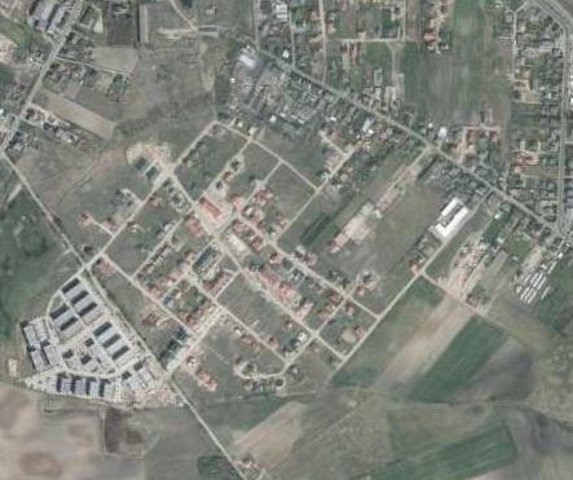
The prevention of soil sealing is an approach in which stakeholders are making spatial planning decisions based on the new map of soil sealing, in case of protecting the most valuable soils.
2.2 وصف تفصيلي للنهج
وصف تفصيلي للنهج:
Aims / objectives: The aim of this approach is to show how spatial planning decisions, should be made by taking into account the soil sealing problem. As the consequence of urbanization pressure, the urban sprawl is crossing municipal boundaries of Poznań. In the whole study site area, 53,3 % are arable lands, located mostly on loams, silts or sandy clay soils. Wielkopolska province has got the highest farm productivity per ha in Poland. Based on EEA data, sealed surfaces constitute 16 % of the city area. Soil sealing problem is a consequence of the urban sprawl process, which affects mainly the municipalities near by the Poznań city borders. To support decision-making in municipalities spatial planning offices, the data from the soil sealing maps is used to select the most appropriate areas to build new houses mostly on low quality soils.
Methods: Land use maps of at least 10-meter resolution are produced for two historical periods
through classification of the satellite images and using available local land use
information. The information on land use change is superimposed on maps
characterizing soil quality in order to detect to what extend the urbanization took place
on valuable soils. The new sealed area, reflecting the built up sprawl of at least last 15
years, consists with expansion of the following land use classes: continuous residential
area, commercial/industrial area and transport facilities. The soils under these new land
use types fully lost their environmental functions. In the soil sealing forecasts the
Cellular Automata-based Metronamica model is used. The final maps consist of the spatial planning aspect, soil sealing area and the scientific comment about the soil sealing problem.
2.5 البلد/المنطقة/المواقع التي تم تطبيق النهج فيها
البلد:
بولندا
المنطقة/الولاية/المحافظة:
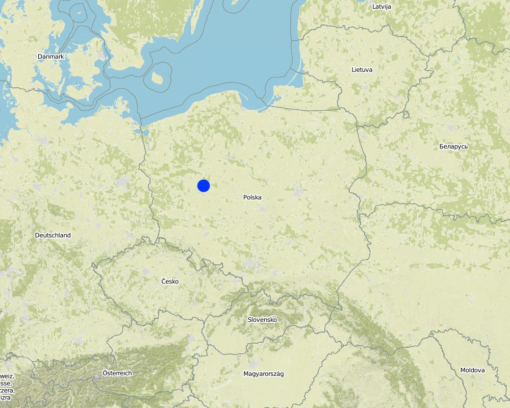
Poland, Wielkopolska
مزيد من التفاصيل حول الموقع:
Poznan
Map
×2.7 نوع النهج
- قائم على مشروع/برنامج
2.8 الغايات/الأهداف الرئيسية للنهج
The Approach focused on SLM only
The main aim of this Approach is to utilize soil agricultural maps and provide information on quality of sealed soils. Send those maps to the municipal authorities, with a scientific comment on the problem. For the whole province, these maps should be made based on the digital soil maps in scale 1:25 000.
The SLM Approach addressed the following problems: The best type of soil is being sealed by new house constructions sites. People from the city center are moving out to municipalities which are near by the border of the city. They are building their houses mostly on agricultural fields in a chaotic way, in much cases on the highest quality soils. This urban sprawl process, affects negatively the soil ecosystem services by the soil sealing and also decrease the quality of inhabitants life.
2.9 الظروف التي تمكن أو تعيق تنفيذ التقنية/التقنيات المطبقة بموجب النهج
الإطار المؤسساتي
- معيق
In Poland, for every area there were made soil maps in scale 1:5000 and 1:25000. On those maps besides soil data there is also information about house areas and land use types. Most of those maps are still only in paper version, which makes it very hard to use them in spatial planning.
Treatment through the SLM Approach: We will digitize the paper version of soil maps for the municipalities, and also update the map content about the land use.
3. المشاركة وأدوار الأطراف المعنية
3.1 أصحاب المصلحة المعنيون بالنهج وأدوارهم
- متخصصون في الإدارة المستدامة للأراضي / مستشارون زراعيون
- الحكومة المحلية
- الحكومة الوطنية (المخططون، صانعو القرار)
Wielkopolska province, the Office of spatial planning in Poznań
3.2 انخراط مستخدمي الأراضي المحليين/المجتمعات المحلية في المراحل المختلفة للنهج
| انخراط مستخدمي الأراضي المحليين/المجتمعات المحلية | حدد من شارك وصف الأنشطة | |
|---|---|---|
| المبادرة/التحفيز | غير موجود | The project was introduced throught RECARE project |
| التخطيط | تفاعلي | Wielkopolska province, the Office of spatial planning in Poznań. They firstly had chosen in which municipalities there is the biggest soil sealing problem |
| التنفيذ | غير موجود | Wielkopolska province, the Office of spatial planning in Poznań. It is implemented in the spatial planning strategy in the Wielkopolska province. |
| الرصد/التقييم | التعبئة الذاتية | Institute of soil science and plant cultivation in Pulawy. There is a discussion on a regular basis with the stakeholders. |
| Research | غير موجود |
3.4 اتخاذ القرار بشأن اختيار تقنية/تقنيات الإدارة المستدامة للأراضي
حدد من الذي قرر اختيار التقنية/التقنيات التي سيتم تنفيذها:
- متخصصون في الإدارة المستدامة للأراضي بمفردهم
اشرح:
Decisions on the method of implementing the SLM Technology were made by by SLM specialists alone (top-down)
4. الدعم الفني وبناء القدرات وإدارة المعرفة
4.1 بناء القدرات/التدريب
هل تم تقديم التدريب لمستخدمي الأراضي / الأطراف المعنيين الآخرين؟:
نعم
- office workers form the Office of spatial planning
4.2 خدمة استشارية
هل يملك مستخدمو الأراضي وصولا إلى خدمة استشارية؟:
نعم
وصف/تعليقات:
Advisory service is quite adequate to ensure the continuation of land conservation activities
4.3 تعزيز المؤسسات (التطوير التنظيمي)
هل تم إنشاء أو تعزيز مؤسسات من خلال هذا النهج؟:
- نعم، قليلا
حدد المستوى (المستويات) التي تم فيها تعزيز أو إنشاء المؤسسات:
- محلي
حدد نوع الدعم:
- بناء القدرات/التدريب
اعط مزيدا من التفاصيل:
On the first workshop.
4.4 الرصد والتقييم
هل يشكل الرصد والتقييم جزءا من النهج؟:
نعم
التعليقات:
technical aspects were ad hoc monitored by government through observations; indicators: Advisory meetings
area treated aspects were ad hoc monitored by government through observations; indicators: only in municipalities with the highest soil sealing threat
management of Approach aspects were regular monitored by project staff through observations; indicators: advisory meetings
There were no changes in the Approach as a result of monitoring and evaluation
There were no changes in the Technology as a result of monitoring and evaluation
4.5 البحوث
هل كانت البحوث جزءًا من النهج؟:
نعم
حدد المواضيع:
- تكنولوجيا
أعط تفاصيل إضافية وأشر إلى من قام بالبحوث:
Research was carried out on station
5. التمويل والدعم المادي الخارجي
5.1 الميزانية السنوية لمكون الإدارة المستدامة للأراضي في النهج المذكور
التعليقات (على سبيل المثال المصادر الرئيسية للتمويل/الجهات المانحة الرئيسية):
Approach costs were met by the following donors: international non-government: 90.0%; local government (district, county, municipality, village etc): 10.0%
5.4 الائتمان
هل تم توفير ائتمان في إطار نهج أنشطة الإدارة المستدامة للأراضي؟:
كلا
6. تحليل الأثر والتصريحات الختامية
6.1 آثار النهج
هل ساعد النهج مستخدمي الأراضي على تنفيذ وصيانة تقنيات الإدارة المستدامة للأراضي؟:
- لا
- نعم، قليلا
- نعم، باعتدال
- نعم، إلى حد كبير
It had raised the awareness about the value of soil ecosystem services, and had shown how big is the scale of soil sealing. This information have started to be very useful in case of taking new spatial planning decisions by the planners.
هل ساهم النهج في تمكين الفئات المحرومة اجتماعيا واقتصاديا؟:
- لا
- نعم، قليلا
- نعم، باعتدال
- نعم، إلى حد كبير
This isn't connected with the soil sealing threat
هل أدى النهج إلى تحسن في مسائل حيازة الأراضي / حقوق المستخدمين التي أعاقت تنفيذ تقنيات الإدارة المستدامة للأراضي؟:
- لا
- نعم، قليلا
- نعم، باعتدال
- نعم، إلى حد كبير
Did other land users / projects adopt the Approach?
- لا
- نعم، قليلا
- نعم، باعتدال
- نعم، إلى حد كبير
Our every stakeholder have adopted the Approach.
Did the Approach lead to improved livelihoods / human well-being?
- لا
- نعم، قليلا
- نعم، باعتدال
- نعم، إلى حد كبير
This isn't connected with the soil sealing threat
Did the Approach help to alleviate poverty?
- لا
- نعم، قليلا
- نعم، باعتدال
- نعم، إلى حد كبير
This isn't connected with the soil sealing threat
6.2 المحفز الرئيسي لقيام مستخدمي الأراضي بتنفيذ الإدارة المستدامة للأراضي
- الوعي البيئي
6.3 استدامة أنشطة النهج
هل يمكن لمستخدمي الأراضي المحافظة على استدامة ما تم تنفيذه من خلال النهج (بدون دعم خارجي)؟:
- نعم
إذا كانت الإجابة بنعم، صف كيف:
Yes, they can continue the Approach activities without support. But we are opened for cooperation/consulting if there will be a need to make some improvements in this Approach.
6.4 نقاط قوة/مزايا النهج
| نقاط القوة/ المزايا/ الفرص من وجهة نظر جامع المعلومات أو غيره من الاشخاص الرئيسيين لمصدر المعلومات |
|---|
| The analysis are made base on the low scale maps : 1:5000 and 1:25000. (How to sustain/ enhance this strength: Update the land use information in spatial data format) |
6.5 نقاط الضعف/ العيوب في المنهج وطرق التغلب عليها
| نقاط الضعف/ المساوىء/ المخاطر من وجهة نظر جامع المعلومات أو غيره من الاشخاص الرئيسيين لمصدر المعلومات | كيف يمكن التغلب عليها؟ |
|---|---|
| The commune authorities don't think about long therm consequences in soil loss. They don't see soil sealing as a threat. | Raise the awareness about soil ecosystem services, especially about soil sealing threat. Showing them on the maps, the results of various prediction model, in which the urban sprawl will be still uncontrolled. |
7. المراجع والروابط
7.1 طرق جمع/مصادر المعلومات
- زيارات ميدانية، مسوحات ميدانية
- مقابلات مع مستخدمي الأراضي
الروابط والوحدات المواضيعية
توسيع الكل طي الكلالروابط

Ex-post and ex-ante soil sealing maps [بولندا]
Ex-post and ex-ante soil sealing maps
- جامع المعلومات: Tomasz Miturski
الوحدات المواضيعية
لا يوجد وحدات مواضيعية


