Small Watershed Comprehensive Development [Chine]
- Création :
- Mise à jour :
- Compilateur : Jun XIA
- Rédacteur : –
- Examinateurs : David Streiff, Alexandra Gavilano
Integrated administration/control of small basin
technologies_973 - Chine
Voir les sections
Développer tout Réduire tout1. Informations générales
1.2 Coordonnées des personnes-ressources et des institutions impliquées dans l'évaluation et la documentation de la Technologie
Nom du ou des institutions qui ont facilité la documentation/ l'évaluation de la Technologie (si pertinent)
Chinese Academy of Science (CAS) - Chine1.3 Conditions relatives à l'utilisation par WOCAT des données documentées
Le compilateur et la(les) personne(s) ressource(s) acceptent les conditions relatives à l'utilisation par WOCAT des données documentées:
Oui
1.5 Référence au(x) Questionnaires sur les Approches de GDT (documentées au moyen de WOCAT)

Small Watershed Comprehensive Control [Chine]
Controlling a small watershed comprehensively with structural, vegetative, management, and agronomic measures based on harvesting area of ground water and underground water, to improve the production and conservation of land.
- Compilateur : Jun XIA
2. Description de la Technologie de GDT
2.1 Courte description de la Technologie
Définition de la Technologie:
Controlling a small watershed comprehensively with structural, vegetative, management, and agronomic measures based on harvesting area of ground water and underground water, to improve the production and conservation of land.
2.2 Description détaillée de la Technologie
Description:
Over several decades of SWC practices, a successful experience of SWC has been concluded, that is Small Watershed Comprehensive Development. The main aim is regarded a small watershed as a control unit for soil and water conservation. The approach is to control soil and water loss comprehensively by structural measure combining vegetative, agronomic and management measures. Specifically:
1. Agronomic method/measure: contour cultivation, area closure, and green manure
2. Vegetative method/measure: plant trees, grass, grass strip, windbreaks and reforestation
3. Structural method/measures: terrace, ands, small reservoir, and dams
4. Land use management/measure: grazing, area closure, and land use change
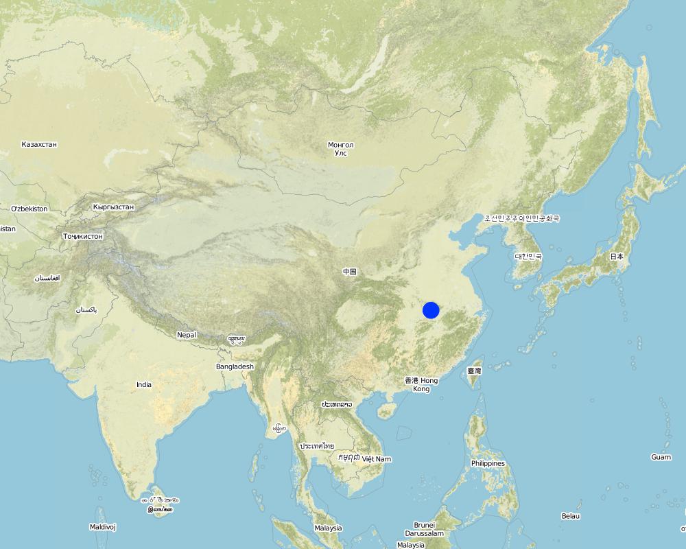
2.5 Pays/ région/ lieux où la Technologie a été appliquée et qui sont couverts par cette évaluation
Pays:
Chine
Région/ Etat/ Province:
Hubei
Spécifiez la diffusion de la Technologie:
- répartie uniformément sur une zone
Si la Technologie est uniformément répartie sur une zone, précisez la superficie couverte (en km2):
39,8
S'il n'existe pas d'informations exactes sur la superficie, indiquez les limites approximatives de la zone couverte:
- 10-100 km2
Commentaires:
Total area covered by the SLM Technology is 39.8 km2.
Map
×2.6 Date de mise en œuvre de la Technologie
Si l'année précise est inconnue, indiquez la date approximative: :
- il y a plus de 50 ans (technologie traditionnelle)
2.7 Introduction de la Technologie
Spécifiez comment la Technologie a été introduite: :
- par le biais de projets/ d'interventions extérieures
Commentaires (type de projet, etc.) :
From 1950's, China began to work on integrated control of watershed based on the long term experiences of the mass's practices in SWC.
3. Classification de la Technologie de GDT
3.1 Principal(aux) objectif(s) de la Technologie
- protéger un bassin versant/ des zones situées en aval - en combinaison avec d'autres technologies
3.2 Type(s) actuel(s) d'utilisation des terres, là où la Technologie est appliquée
Les divers types d'utilisation des terres au sein du même unité de terrain: :
Oui
Précisez l'utilisation mixte des terres (cultures/ pâturages/ arbres):
- Agroforesterie

Terres cultivées
- Cultures annuelles
Cultures annuelles - Précisez les cultures:
- céréales - blé d'hiver
- rice
Nombre de période de croissance par an: :
- 3
Précisez:
Longest growing period in days: 90Longest growing period from month to month: Jul - SepSecond longest growing period in days: 60Second longest growing period from month to month: May - Jun

Forêts/ bois
Type d’arbres:
- Espèces de Pinus (pin)
- Economic forest with small water comprehensiv effect
Commentaires:
Main crops (cash and food crops): Winter wheat - rice, or cole - rice.
Major land use problems (compiler’s opinion): In the mountainous area, land users always open up wasteland along slopes to improve/increase the productivity, but these lands tend to increase in the soil loss. In my opinion, in these areas land users should plant trees to develop economy, increase the annual productivity to improve the economy.
Major land use problems (land users’ perception): The land users become to realize the importance of maintaining ecological balance, so many of them are now acting to plant trees and stopping overgrazing in the areas.
Grazingland comments: More recently, SWC areas are closed, calling for stall feeding.
Problems / comments regarding forest use: Developing more fruit trees and economic woodland.
Type of grazing system comments: More recently, SWC areas are closed, calling for stall feeding.
3.4 Approvisionnement en eau
Approvisionnement en eau des terres sur lesquelles est appliquée la Technologie:
- pluvial
Commentaires:
Water supply also mixed rainfed - irrigated
3.5 Groupe de GDT auquel appartient la Technologie
- gestion des eaux de surface (sources, rivières, lacs, mers)
3.6 Mesures de GDT constituant la Technologie

pratiques agronomiques
- A7: Autres

pratiques végétales
- V2: Herbes et plantes herbacées pérennes

structures physiques
- S1: Terrasses
- S5: Barrages/retenues, micro-bassins, étangs
- S7: Collecte de l'eau/ approvisionnent en eau/ équipement d'irrigation

modes de gestion
- M1: Changement du type d’utilisation des terres
Commentaires:
Type of agronomic measures: early planting, zero tillage / no-till, minimum tillage, contour tillage
3.7 Principaux types de dégradation des terres traités par la Technologie

érosion hydrique des sols
- Wt: perte de la couche superficielle des sols (couche arable)/ érosion de surface

dégradation chimique des sols
- Cn: baisse de la fertilité des sols et réduction du niveau de matière organique (non causée par l’érosion)
Commentaires:
Main type of degradation addressed: Wt: loss of topsoil / surface erosion, Cn: fertility decline and reduced organic matter content
Main causes of degradation: deforestation / removal of natural vegetation (incl. forest fires), poverty / wealth (Lack of captial)
3.8 Prévention, réduction de la dégradation ou réhabilitation des terres dégradées
Spécifiez l'objectif de la Technologie au regard de la dégradation des terres:
- réduire la dégradation des terres
4. Spécifications techniques, activités, intrants et coûts de mise en œuvre
4.1 Dessin technique de la Technologie
Spécifications techniques (associées au dessin technique):
Technical knowledge required for field staff / advisors: low
Technical knowledge required for land users: moderate
Main technical functions: control of raindrop splash, control of dispersed runoff: retain / trap, control of concentrated runoff: retain / trap, control of concentrated runoff: impede / retard, control of concentrated runoff: drain / divert, reduction of slope angle, improvement of ground cover, increase of surface roughness, increase in organic matter, increase of infiltration, increase / maintain water stored in soil, water harvesting / increase water supply, sediment retention / trapping, sediment harvesting, increase in soil fertility, improvement of soil structure
Early planting
Material/ species: velamen
Quantity/ density: Row
Zero tillage / no-till
Material/ species: On the slope lands where have
Minimum tillage
Material/ species: On the slopes where have
Trees/ shrubs species: pine
Slope (which determines the spacing indicated above): 28.00%
If the original slope has changed as a result of the Technology, the slope today is (see figure below): 15.00%
Gradient along the rows / strips: 60.00%
Slope (which determines the spacing indicated above): 28.00%
If the original slope has changed as a result of the Technology, the slope today is: 15.00%
Lateral gradient along the structure: 40.00%
For water harvesting: the ratio between the area where the harvested water is applied and the total area from which water is collected is: 1:5.00
Vegetation is used for stabilisation of structures.
4.2 Informations générales sur le calcul des intrants et des coûts
Indiquez la monnaie utilisée pour le calcul des coûts:
- dollars américains
Indiquez le coût salarial moyen de la main d'œuvre par jour:
1.70
4.3 Activités de mise en place/ d'établissement
| Activité | Calendrier des activités (saisonnier) | |
|---|---|---|
| 1. | plant fence beside terrace | 1965 |
| 2. | terrace | 1968 |
| 3. | small reservior | 1959 |
4.4 Coûts et intrants nécessaires à la mise en place
Commentaires:
Duration of establishment phase: 84 month(s)
4.5 Activités d'entretien/ récurrentes
| Activité | Calendrier/ fréquence | |
|---|---|---|
| 1. | conserving soil and planting crops | seeding season / annual |
| 2. | improve fertilizer | winter, spring / |
| 3. | increase fertilizer | seeding season / |
| 4. | Cutting fence, planting | fall /annual |
| 5. | terrace | leisure/annual |
| 6. | small reservior | winter/annual |
4.6 Coûts et intrants nécessaires aux activités d'entretien/ récurrentes (par an)
Commentaires:
It is estimated from the management in local area.
4.7 Facteurs les plus importants affectant les coûts
Décrivez les facteurs les plus importants affectant les coûts :
Much money is needed to build terraces if hill slope is steeper.
5. Environnement naturel et humain
5.1 Climat
Précipitations annuelles
- < 250 mm
- 251-500 mm
- 501-750 mm
- 751-1000 mm
- 1001-1500 mm
- 1501-2000 mm
- 2001-3000 mm
- 3001-4000 mm
- > 4000 mm
Zone agro-climatique
- humide
5.2 Topographie
Pentes moyennes:
- plat (0-2 %)
- faible (3-5%)
- modéré (6-10%)
- onduleux (11-15%)
- vallonné (16-30%)
- raide (31-60%)
- très raide (>60%)
Reliefs:
- plateaux/ plaines
- crêtes
- flancs/ pentes de montagne
- flancs/ pentes de colline
- piémonts/ glacis (bas de pente)
- fonds de vallée/bas-fonds
Zones altitudinales:
- 0-100 m
- 101-500 m
- 501-1000 m
- 1001-1500 m
- 1501-2000 m
- 2001-2500 m
- 2501-3000 m
- 3001-4000 m
- > 4000 m
Commentaires et précisions supplémentaires sur la topographie:
Landforms also valley floors and footslopes
5.3 Sols
Profondeur moyenne du sol:
- très superficiel (0-20 cm)
- superficiel (21-50 cm)
- modérément profond (51-80 cm)
- profond (81-120 cm)
- très profond (>120 cm)
Texture du sol (de la couche arable):
- grossier/ léger (sablonneux)
Matière organique de la couche arable:
- moyen (1-3%)
Si disponible, joignez une description complète du sol ou précisez les informations disponibles, par ex., type de sol, pH/ acidité du sol, capacité d'échange cationique, azote, salinité, etc.
Soil fertility; medium
Soil drainage / infiltration: good
Soil water storage capacity: low
5.6 Caractéristiques des exploitants des terres appliquant la Technologie
Revenus hors exploitation:
- > 50% de tous les revenus
Niveau relatif de richesse:
- moyen
- riche
Niveau de mécanisation:
- traction animale
- mécanisé/ motorisé
Indiquez toute autre caractéristique pertinente des exploitants des terres:
Population density: 100-200 persons/km2
Annual population growth: < 0.5%
80% of the land users are rich and own 100% of the land (Lease bared land).
Off-farm income specification: It is much different between whose who have SWC practice and not involved in the SWC. Those who take part in the SWC implementation can get much benefits than whose who not.
Level of mechanization: animal traction: Land in the mountain areas are very small, tilled using animal labor, some are tilled by tractor.
Level of mechanization: mechanized/motorized: If area of land is large enough for tractor.
5.8 Propriété foncière, droits d’utilisation des terres et de l'eau
Propriété foncière:
- état
Droits d’utilisation des terres:
- individuel
6. Impacts et conclusions
6.1 Impacts sur site que la Technologie a montrés
Impacts écologiques
Cycle de l'eau/ ruissellement
ruissellement de surface
Quantité avant la GDT:
40
Quantité après la GDT:
20
Sols
perte en sol
Quantité avant la GDT:
570
Quantité après la GDT:
60
6.4 Analyse coûts-bénéfices
Quels sont les bénéfices comparativement aux coûts de mise en place (du point de vue des exploitants des terres)?
Rentabilité à court terme:
positive
Rentabilité à long terme:
très positive
Quels sont les bénéfices comparativement aux coûts d'entretien récurrents (du point de vue des exploitants des terres)?
Rentabilité à court terme:
positive
Rentabilité à long terme:
très positive
6.5 Adoption de la Technologie
Si disponible, quantifiez (nombre de ménages et/ou superficie couverte):
138 Households
De tous ceux qui ont adopté la Technologie, combien d'entre eux l'ont fait spontanément, à savoir sans recevoir aucune incitation matérielle, ou aucune rémunération? :
- 11-50%
Commentaires:
90% of land user families have adopted the Technology with external material support
80 land user families have adopted the Technology with external material support
Comments on acceptance with external material support: estimates
30% of land user families have adopted the Technology without any external material support
58 land user families have adopted the Technology without any external material support
Comments on spontaneous adoption: estimates
There is a strong trend towards spontaneous adoption of the Technology
Comments on adoption trend: More and more peasants and local government become to understand the advantages. They would use these technologies. Meanwhile they also want to get help from the government.
7. Références et liens
7.1 Méthodes/ sources d'information
Liens et modules
Développer tout Réduire toutLiens
Small Watershed Comprehensive Control [Chine]
Controlling a small watershed comprehensively with structural, vegetative, management, and agronomic measures based on harvesting area of ground water and underground water, to improve the production and conservation of land.
- Compilateur : Jun XIA
Modules
Aucun module trouvé