Regional Environmental program [Norway]
- Creation:
- Update:
- Compiler: Kamilla Skaalsveen
- Editor: –
- Reviewer: Fabian Ottiger
Regionalt miljøprogram
approaches_2596 - Norway
View sections
Expand all Collapse all1. General information
1.2 Contact details of resource persons and institutions involved in the assessment and documentation of the Approach
Name of the institution(s) which facilitated the documentation/ evaluation of the Approach (if relevant)
Norwegian Institute for Agricultural and Environme (Norwegian Institute for Agricultural and Environme) - Norway1.3 Conditions regarding the use of data documented through WOCAT
When were the data compiled (in the field)?
25/02/2015
The compiler and key resource person(s) accept the conditions regarding the use of data documented through WOCAT:
Yes
1.4 Reference(s) to Questionnaire(s) on SLM Technologies
Small constructed wetland [Norway]
A small constructed wetland is a combination of ponds and vegetation filters, designed mainly to remove sediment and nutrients from streams. It is usually located in first and second order streams in agricultural landscapes.
- Compiler: Dominika Krzeminska
Grassed waterways [Norway]
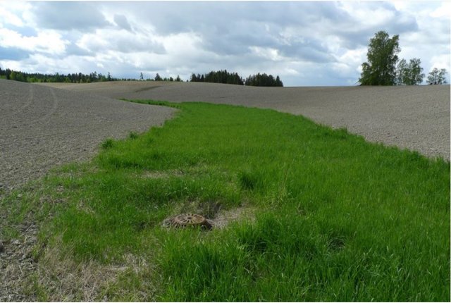
Grassed waterways are shallow channels (natural or constructed) with grass cover, used to drain surface runoff from cropland and prevent erosion.
- Compiler: Dominika Krzeminska
Reduced tillage: no tillage in autumn [Norway]
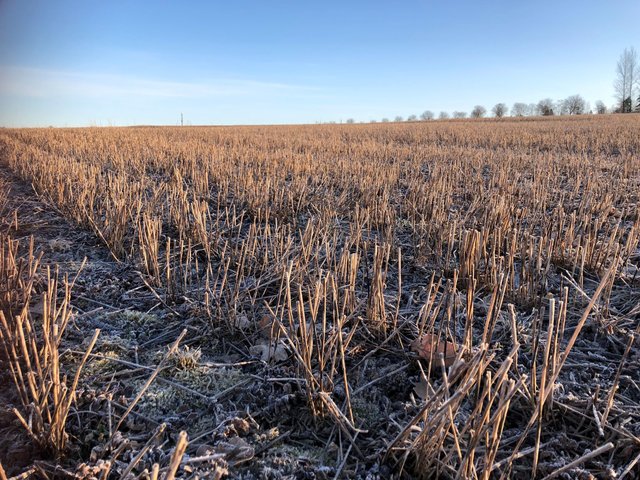
Reduced tillage, involving no plowing in the autumn, preserves stubble or plant cover during the autumn and winter to prevent soil erosion, and particle and nutrient loss from cropland to watercourses.
- Compiler: Kamilla Skaalsveen
Grass buffer zones alongside waterways in cropland [Norway]
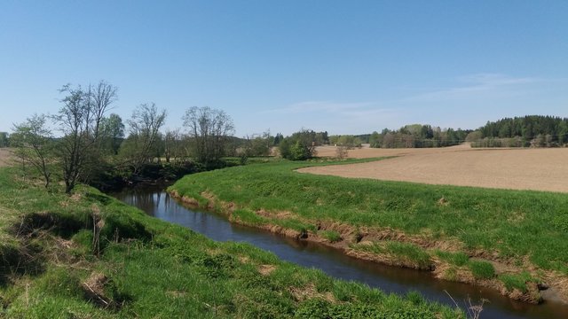
Grass buffer zones are established along waterways in cropland to reduce the surface runoff rate, and the amounts of sediment, nutrients and pesticides in the runoff.
- Compiler: Kamilla Skaalsveen
Grass or stubble in areas prone to flooding … [Norway]
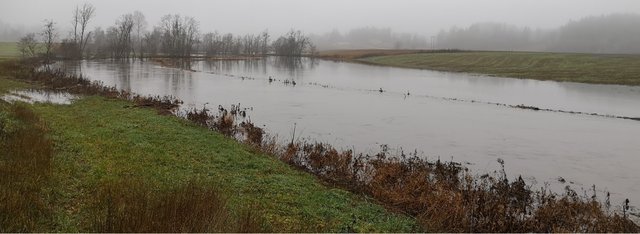
Establishment of grass - or retaining stubble - on arable land that is prone to erosion and flooding to reduce the risk of soil and nutrient losses.
- Compiler: Dominika Krzeminska
Small retention ponds in the forest [Norway]
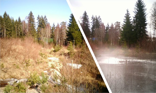
Small retention ponds, located in the forest, are ponds or pools with sufficient storage capacity to store the surface runoff to prevent flooding during heavy rainfall events. Ponds contain limited or no water during dry weather, but are designed to retain water during rain events.
- Compiler: Dominika Krzeminska
2. Description of the SLM Approach
2.1 Short description of the Approach
Regulations and financial grants for reduction of pollution and promotion of the cultural landscape.
2.2 Detailed description of the Approach
Detailed description of the Approach:
Aims / objectives: The Regional Environmental Program (RMP) is a part of the Regional Rural Development Program provided by County Governors, in this case the County Governors of Østfold and Akershus. The programs differ somewhat between counties and the one for Østfold is used as an example here. The program aims to target environmental efforts in the agricultural sector, mainly focusing on
agricultural runoff, reduced usage of pesticides, cultural landscapes, biological diversity, cultural monuments and environments, outdoor recreation and availability. Measures related to reduction of runoff from agricultural land to waterbodies has resent years been given the highest priority, and the greatest part of the financial grants. Improvement of soil structure to maintain soil functions and prevention of soil loss and nutrient leaching, are some of the main goals of the approach.
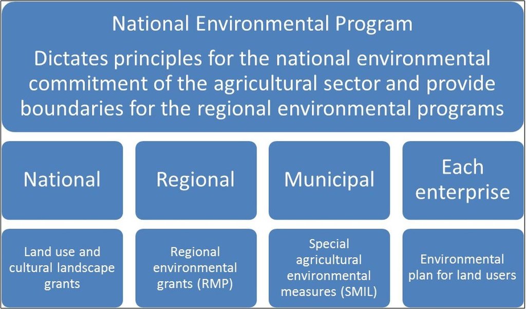
Methods: Management plans and local regulations for different catchments are implemented through the Regional Environmental Program. Funds to finance measures are provided from both this program and other sources, such as the Grant Scheme for Special Agricultural Environmental Measures (SMIL). The latter is allocated by the County Governor and managed by local municipalities. In order to receive production subsidies the land users have to carry out the regulation measures. In areas of
prioritized watercourses the soil tillage regulations are stricter, and the financial support higher. Around especially vulnerable waterbodies the measures are compulsory. Agricultural areas are classified by their susceptibility to water erosion (four erosion risk classes), with different soil management requirements. High erosion risk classes normally provide higher grant rates.
Stages of implementation: The Regional Environmental Program was first introduced in 2005, followed by a rollover in 2009. It
was at the agricultural settlement in 2012 decided to continue the program in the same path as settled in 2004/2005, with improvements from the evaluation in 2007/2008 and 2011. The County Governor continues the ongoing work of targeting the economical funds to measures of high environmental benefit. The Regional Environmental Program is also influenced by guidelines from the National Environmental Program of 2013-2016. Random controls are carried out and falsely reported measures lead to reduction and repayment of production grants.
Role of stakeholders: The farmers are mainly conducting the measures by changing their land use practices, but the Regional
Environmental Program is developed in collaboration between municipalities, the county, the Farmers’ Organization, industry, and the County Governor. The measures are revised annually, mainly based on inputs from the Farmers’ Organization and the municipality. Other measures are included by the Regional Environmental Program than shown in the QT (Grass Covered Riparian Buffer Strips and Reduced Tillage), but these were evaluated to be less relevant for the prevention of soil loss.
Other important information: Other measures are included by the Regional Environmental Program than shown in the QT (Grass Covered Riparian Buffer Strips and Reduced Tillage), but these were evaluated to be less relevant for the prevention of soil loss.
For more information: http://www.fylkesmannen.no/en/Ostfold/Agriculture-and-food/Environmental-measures/Tilskudd-til-regionale-miljotiltak-RMP-2014/ (In Norwegian only)
Regional regulations: https://lovdata.no/dokument/JB/forskrift/2011-06-01-716?q=morsa
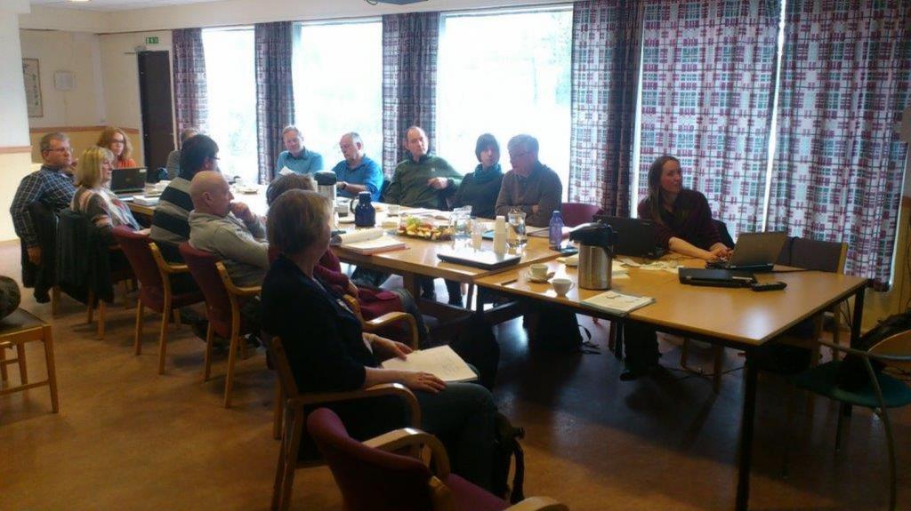
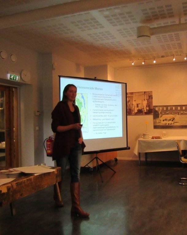
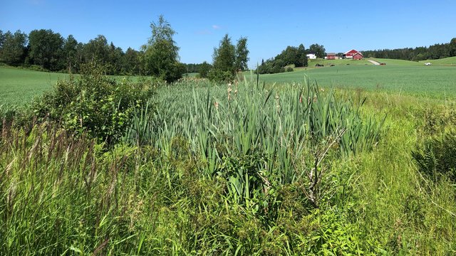
2.3 Photos of the Approach
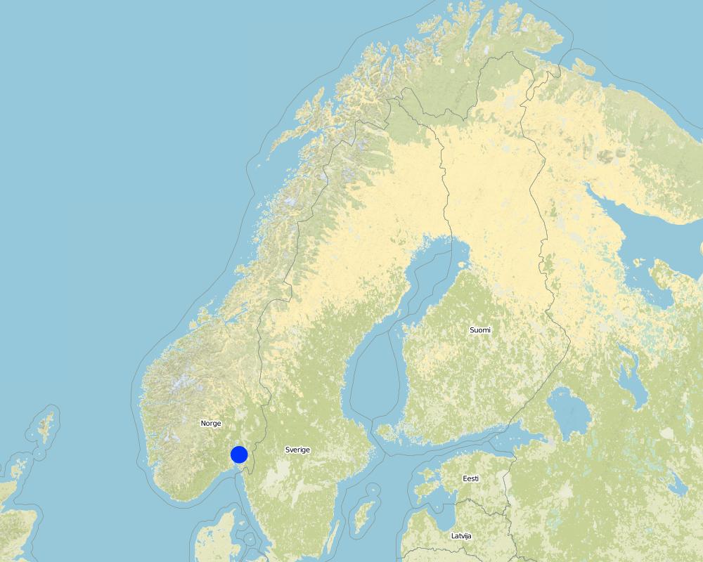
2.5 Country/ region/ locations where the Approach has been applied
Country:
Norway
Region/ State/ Province:
Østfold
Further specification of location:
The Morsa Catchment
Map
×2.6 Dates of initiation and termination of the Approach
Indicate year of initiation:
2004
2.7 Type of Approach
- project/ programme based
2.8 Main aims/ objectives of the Approach
The Approach focused on SLM only
Target the environmental initiatives and provide increased visibility.
The SLM Approach addressed the following problems: Agricultural runoff and erosion, usage of pesticides, degradation of cultural landscapes, loss of biological diversity, degradation of cultural monuments and environments, decreased availability to outdoor recreational areas.
2.9 Conditions enabling or hindering implementation of the Technology/ Technologies applied under the Approach
availability/ access to financial resources and services
- hindering
Measures may lead to income loss for land users.
Treatment through the SLM Approach: Financial grants.
legal framework (land tenure, land and water use rights)
- hindering
The existing land ownership, land use rights / water rights hindered a little the approach implementation Not all land users implemented the technologies.
workload, availability of manpower
- hindering
The workload may increase with land use changes and implementation of erosion risk classes and regulations.
Treatment through the SLM Approach: Higher financial grants for high risk areas.
3. Participation and roles of stakeholders involved
3.1 Stakeholders involved in the Approach and their roles
- local land users/ local communities
- SLM specialists/ agricultural advisers
- local government
- national government (planners, decision-makers)
3.2 Involvement of local land users/ local communities in the different phases of the Approach
Involvement of local land users/ local communities | Specify who was involved and describe activities | |
---|---|---|
initiation/ motivation | passive | Regulations initiated by politicians and management, governed by the Agricultural Authority |
planning | passive | Involvement of specialists |
implementation | external support | Changes in land use practices implemented by land users |
monitoring/ evaluation | passive | Monitoring and evaluation of measures by specialists and management |
Research | passive | Results evaluated and reported by specialists |
3.3 Flow chart (if available)
3.4 Decision-making on the selection of SLM Technology/ Technologies
Specify who decided on the selection of the Technology/ Technologies to be implemented:
- SLM specialists alone
Explain:
The choice of SLM Technology was made on the basis of recommendations from specialists.
Decisions on the method of implementing the SLM Technology were made by by politicians / leaders. Decisions on the method were made on county and management level.
4. Technical support, capacity building, and knowledge management
4.1 Capacity building/ training
Was training provided to land users/ other stakeholders?
Yes
Specify who was trained:
- land users
- field staff/ advisers
Form of training:
- on-the-job
4.2 Advisory service
Do land users have access to an advisory service?
Yes
- Through information
Describe/ comments:
Name of method used for advisory service: Guidelines and circulars from the County Governor; Key elements: Information, Guidance, Environmental standards
Advisory service is quite adequate to ensure the continuation of land conservation activities; Requires land conservation measures for disbursement of subsidies.
4.3 Institution strengthening (organizational development)
Have institutions been established or strengthened through the Approach?
- no
4.4 Monitoring and evaluation
Is monitoring and evaluation part of the Approach?
Yes
Comments:
bio-physical aspects were ad hoc monitored by project staff through observations; indicators: Landslides
bio-physical aspects were regular monitored by other through measurements; indicators: P content in soil, water quality, runoff
technical aspects were ad hoc monitored by project staff through measurements; indicators: Infiltration rate/soil compaction
economic / production aspects were regular monitored by government, land users through observations; indicators: Production rate, increase/decrease in income
area treated aspects were regular monitored by government through observations; indicators: Evaluation of measures
no. of land users involved aspects were regular monitored by government through observations; indicators: None
management of Approach aspects were ad hoc monitored by project staff, government, land users through observations; indicators: None
There were several changes in the Approach as a result of monitoring and evaluation: Annual revision
There were few changes in the Technology as a result of monitoring and evaluation: Evaluation and modification proposals in progress
4.5 Research
Was research part of the Approach?
Yes
Specify topics:
- technology
Give further details and indicate who did the research:
Research of the effectiveness of the technologies have been carried out and discussed with land users and management.
Research was carried out on-farm
5. Financing and external material support
5.1 Annual budget for the SLM component of the Approach
If precise annual budget is not known, indicate range:
- > 1,000,000
Comments (e.g. main sources of funding/ major donors):
Approach costs were met by the following donors: local government (district, county, municipality, village etc) (Regional level): 100.0%
5.2 Financial/ material support provided to land users
Did land users receive financial/ material support for implementing the Technology/ Technologies?
Yes
If yes, specify type(s) of support, conditions, and provider(s):
Contributions were provided by the state from the Regional Environmental Program and other sources as the Grant Scheme for Special Agricultural Environmental Measures (SMIL).
5.3 Subsidies for specific inputs (including labour)
If labour by land users was a substantial input, was it:
- paid in cash
Comments:
Economical benefits for the land user to implement measures and loss if they reject, according to local regulations.
5.4 Credit
Was credit provided under the Approach for SLM activities?
No
6. Impact analysis and concluding statements
6.1 Impacts of the Approach
Did the Approach help land users to implement and maintain SLM Technologies?
- No
- Yes, little
- Yes, moderately
- Yes, greatly
Regulations to prevent soil and water degradation.
Did the Approach empower socially and economically disadvantaged groups?
- No
- Yes, little
- Yes, moderately
- Yes, greatly
Did the Approach improve issues of land tenure/ user rights that hindered implementation of SLM Technologies?
- No
- Yes, little
- Yes, moderately
- Yes, greatly
Did other land users / projects adopt the Approach?
- No
- Yes, little
- Yes, moderately
- Yes, greatly
Similar approaches are applied on watercourses in other counties, but regulations and financial support varies.
Did the Approach lead to improved livelihoods / human well-being?
- No
- Yes, little
- Yes, moderately
- Yes, greatly
Somewhat better water quality in drinking water recipients.
Did the Approach help to alleviate poverty?
- No
- Yes, little
- Yes, moderately
- Yes, greatly
6.2 Main motivation of land users to implement SLM
- payments/ subsidies
Subsidies
- rules and regulations (fines)/ enforcement
Regulations
- affiliation to movement/ project/ group/ networks
Cooperation between farmers
- environmental consciousness
Pollution awareness
6.3 Sustainability of Approach activities
Can the land users sustain what has been implemented through the Approach (without external support)?
- no
If no or uncertain, specify and comment:
Production and income loss.
6.4 Strengths/ advantages of the Approach
Strengths/ advantages/ opportunities in the compiler’s or other key resource person’s view |
---|
Good guidance and free maps for land users available on the internet |
Annual repport (both strength and weekness) |
Financial grants graded by erosion risk classes |
Regular evaluation through agricultural negotiations (How to sustain/ enhance this strength: A management committee has recently suggested simplifications to the program, but this has not yet been evaluated by the Ministry of Food and Agriculture) |
6.5 Weaknesses/ disadvantages of the Approach and ways of overcoming them
Weaknesses/ disadvantages/ risks in the compiler’s or other key resource person’s view | How can they be overcome? |
---|---|
Complicated system with a variety of details | There is a group who is working on a report to the ministry on how to simplify the program |
7. References and links
7.1 Methods/ sources of information
- field visits, field surveys
- interviews with land users
Links and modules
Expand all Collapse allLinks
Small constructed wetland [Norway]
A small constructed wetland is a combination of ponds and vegetation filters, designed mainly to remove sediment and nutrients from streams. It is usually located in first and second order streams in agricultural landscapes.
- Compiler: Dominika Krzeminska
Grassed waterways [Norway]
Grassed waterways are shallow channels (natural or constructed) with grass cover, used to drain surface runoff from cropland and prevent erosion.
- Compiler: Dominika Krzeminska
Reduced tillage: no tillage in autumn [Norway]
Reduced tillage, involving no plowing in the autumn, preserves stubble or plant cover during the autumn and winter to prevent soil erosion, and particle and nutrient loss from cropland to watercourses.
- Compiler: Kamilla Skaalsveen
Grass buffer zones alongside waterways in cropland [Norway]
Grass buffer zones are established along waterways in cropland to reduce the surface runoff rate, and the amounts of sediment, nutrients and pesticides in the runoff.
- Compiler: Kamilla Skaalsveen
Grass or stubble in areas prone to flooding … [Norway]
Establishment of grass - or retaining stubble - on arable land that is prone to erosion and flooding to reduce the risk of soil and nutrient losses.
- Compiler: Dominika Krzeminska
Small retention ponds in the forest [Norway]
Small retention ponds, located in the forest, are ponds or pools with sufficient storage capacity to store the surface runoff to prevent flooding during heavy rainfall events. Ponds contain limited or no water during dry weather, but are designed to retain water during rain events.
- Compiler: Dominika Krzeminska
Modules
No modules