Dugout Sunken Pond with Catchment Treatment [الهند]
- تاريخ الإنشاء:
- تحديث:
- جامع المعلومات: Unknown User
- المحرر: –
- المراجعون: Fabian Ottiger, Alexandra Gavilano
Bandha/ Pokhari (Oriya)
technologies_1475 - الهند
عرض الأقسام
توسيع الكل طي الكل1. معلومات عامة
1.2 تفاصيل الاتصال بالأشخاص الرئيسيين لمصدر المعلومات والمؤسسات المشاركة في تقييم وتوثيق التقنية
الشخص (الأشخاص) الرئيسي لمصدر المعلومات
متخصص في الإدارة المستدامة للأراضي:
Patnaik Kishore Chandra
الهند
متخصص في الإدارة المستدامة للأراضي:
Pradhan Gandhi
الهند
متخصص في الإدارة المستدامة للأراضي:
Tripathy Dasarathi
الهند
متخصص في الإدارة المستدامة للأراضي:
Panda R.K
Central Soil & Water Conservation Research & Training Institute
الهند
متخصص في الإدارة المستدامة للأراضي:
Mohanty K.C
Sahid Laxman Naik Development Society
الهند
متخصص في الإدارة المستدامة للأراضي:
Mishra BIJAYALAXMI
IDCWDP
الهند
اسم المؤسسة (المؤسسات) التي سهلت توثيق/تقييم التقنية (إذا كان ذلك على صلة)
Central Soil & Water Conservation Research & Training Institute - الهنداسم المؤسسة (المؤسسات) التي سهلت توثيق/تقييم التقنية (إذا كان ذلك على صلة)
Sahid Laxman Naik Development Society - الهنداسم المؤسسة (المؤسسات) التي سهلت توثيق/تقييم التقنية (إذا كان ذلك على صلة)
IDCWDP (IDCWDP) - الهند1.3 الشروط المتعلقة باستخدام البيانات الموثقة من خلال WOCAT
يوافق جامع المعلومات والشخص (لاشخاص) الرئيسي لمصدر المعلومات على الشروط المتعلقة باستخدام البيانات الموثقة من خلال WOCAT:
نعم
1.5 الإشارة إلى الاستبيان (الاستبيانات) حول مناهج الإدارة المستدامة للأراضي (موثقة باستخدام WOCAT)
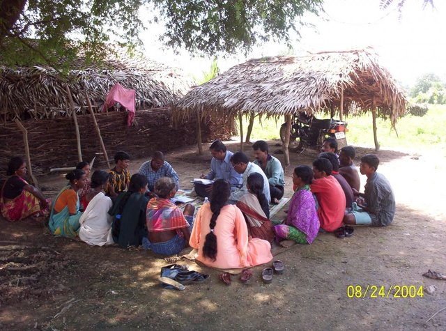
PARTICIPATORY APPROACH IN IDCWDP, DANIDA [الهند]
Participatory approach for holistic and intigrated development of the defined area on watershed basis involving all level of stake holders.
- جامع المعلومات: Srikanta Kumar Parida
2. وصف تقنيةالإدارة المستدامي للأراضي
2.1 وصف مختصر للتقنية
تعريف التقنية:
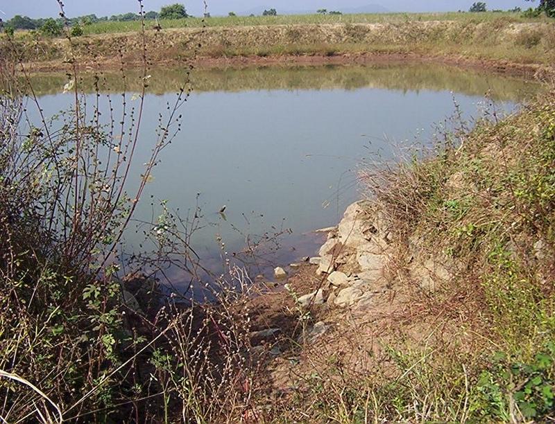
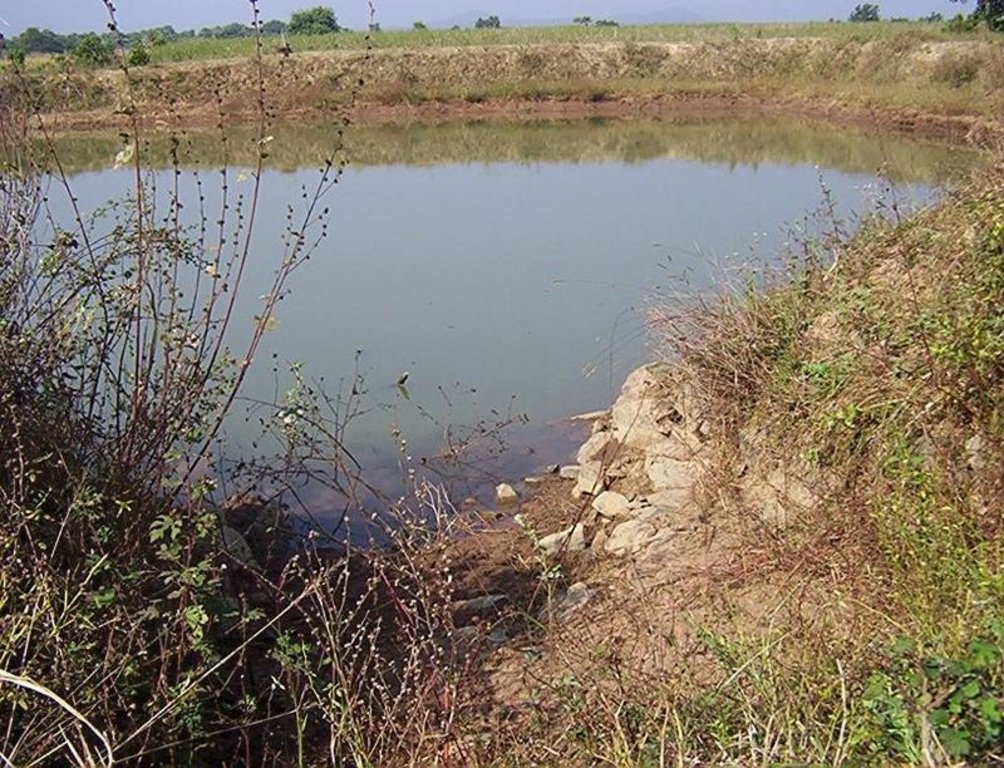
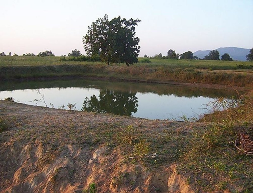
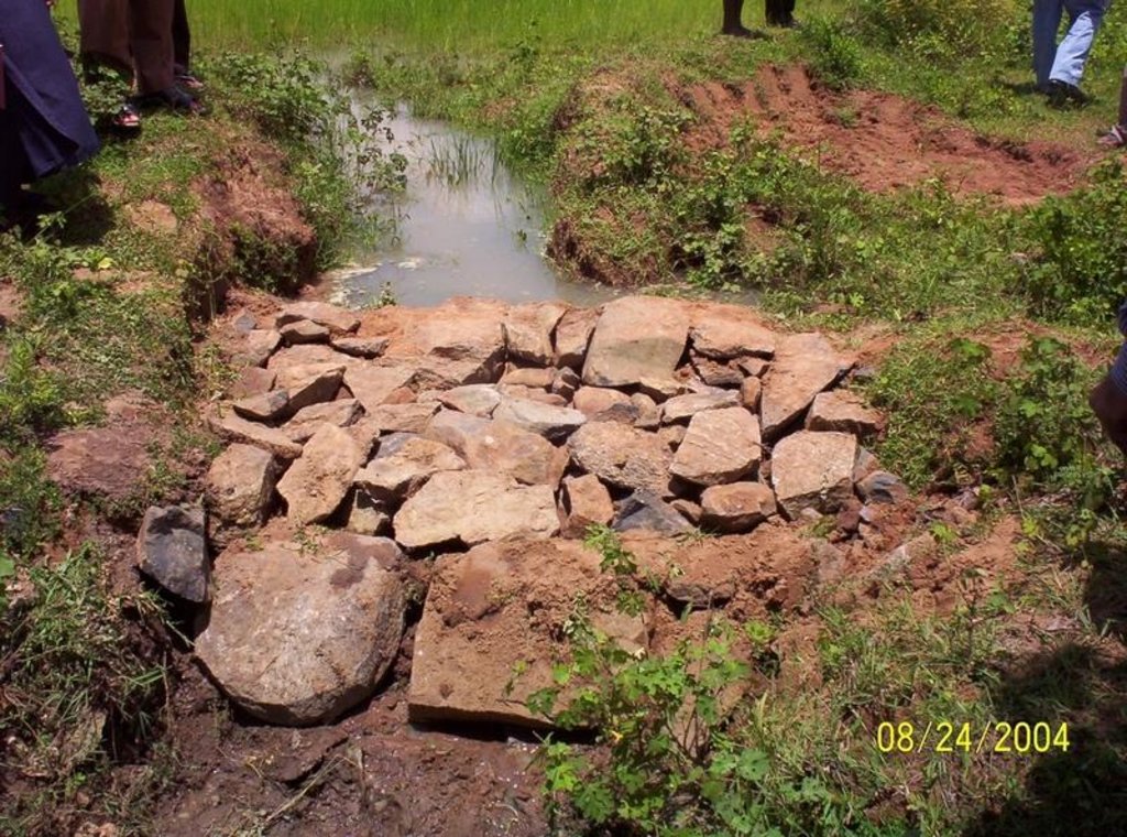
Dugout sunken pond with catchment treatment.
2.2 وصف تفصيلي للتقنية
الوصف:
(1) Total size of the project area = 4.75 Ha.
(2) Different structures taken up in the project area are
(i) Brushwood check dam- 6 Nos.
(ii) Drop structure- 8 Nos.
(iii) Dugout sunken pond - 1 No.
(3) All the above structures were positioned to ridge to valley treatment
(Ref.QT-6/2.1.2/a)
Purpose of the Technology: 1) Storage of runoff for cattle and human use.
2) Construction of structures to check soil erosion and sand casting.
3) Pisciculture.
Establishment / maintenance activities and inputs: Establishment :-
1) SWC specialist selected sites for dugout sunken pond, layout the design.
2) SWC specialist also selected sites for drop structures, brushwood check
dams in gullied portion of project area with reference to vertical interval
of slope gradient and space between structures.
3) The execution of work were done by concerned villagers on payment basis.
4) During execution, 20% of the total cost of the dugout sunken pond was
contributed by the villagers in shape of labour.
5) Training on technical know how imparted to the villagrs during execution
of pond, bund, drop structure and brush wood check dam.
Maintenance:-
1) The dugout sunken pond requires (a) Desiltation once in two years (b)
Repair of earthern bund around inlet and outlet every year.
2) The drop structure & brushwood check dams requires little maintenance when
ever requires.
3) One management group has formed in the same village & funds has been
raised by doing pisciculture in the pond.
4) The management group is taking major reponsibility for its maintenance.
Natural / human environment: (1) Drainage line stablilized (2) Adjuscant area cultivated (3) Users group
formed and pisciculture taken up for the Ist time in the village.
2.3 صور التقنية
2.5 البلد/المنطقة/المواقع التي تم تنفيذ التقنية فيها والتي يغطيها هذا التقييم
البلد:
الهند
المنطقة/الولاية/المحافظة:
Orissa
مزيد من التفاصيل حول الموقع:
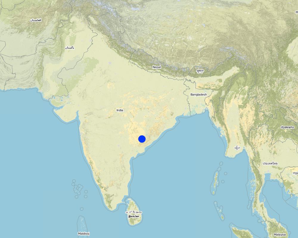
Orissa/ Malkangiri
حدد انتشار التقنية:
- منتشرة بالتساوي على مساحة
إذا كانت التقنيةا موزعة بالتساوي على منطقة ما، حدد المساحة المغطاة (بالكيلومتر المربع):
0,0475
إذا كانت المساحة الدقيقة غير معروفة، فيرجى الإشارة إلى المنطقة التقريبية المغطاة:
- < 0.1 كم2 (10 هكتار)
التعليقات:
Total area covered by the SLM Technology is 0.0475 km2.
A fellow, understanding, gullied piece ofland selected for the technology which suffers from sand casting and uncertainity of rain.
Map
×2.6 تاريخ التنفيذ
في حالة عدم معرفة السنة بالتحديد، يرجى الإشارة إلى التاريخ التقريبي:
- منذ أقل من 10 سنوات (مؤخرًا)
2.7 إدخال التقنية
حدد كيف تم إدخال التقنية:
- من خلال المشاريع/ التدخلات الخارجية
التعليقات (نوع المشروع، الخ):
National Watershed Development Project for Rainfed Area (NWDPRA)
3. تصنيف تقنية الإدارة المستدامي للأراضي
3.1 الغرض الرئيسي ( الأغراض الرئيسية) للتقنية
- تحسين الإنتاج
3.2 نوع (أنواع) استخدام الأراضي الحالية حيث يتم تطبيق التقنية
استخدامات الأراضي مختلطة ضمن نفس وحدة الأرض:
نعم
حدد استخدام الأراضي المختلطة (المحاصيل / الرعي / الأشجار):
- الرعي الزراعي (بما في ذلك الإدارة المتكاملة للمحاصيل والثروة الحيوانية)

الأراضي الزراعية
- زراعة سنوية
- rice
عدد مواسم الزراعة في السنة:
- 1
حدد:
Longest growing period in days: 150 Longest growing period from month to month: Jul - Nov

أراضي الرعي
- cattle
التعليقات:
Major land use problems (compiler’s opinion):
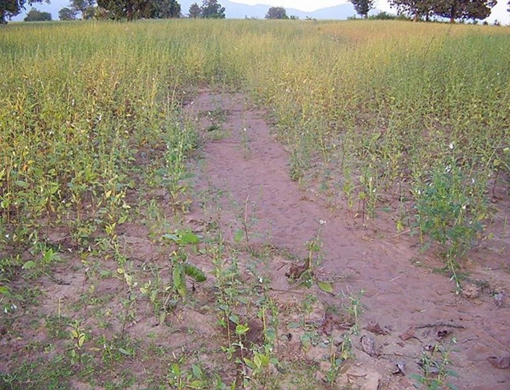
1) A fellow, undulating, gullied piece of land.
2) Acute sand casting at the down stream cropland.
3) About 40% of the project area were practicing local paddy which suffers from erratic rainfall.
Major land use problems (land users’ perception): A piece of land which depends upon the mercy of the Rain God for annual production.
3.4 إمدادات المياه
إمدادات المياه للأرض التي يتم تنفيذ التقنية عليها:
- بعلية
3.5 مجموعةالإدارة المستدامة للأراضي التي تنتمي إليها هذه التقنية
- حصاد المياه
- تربية النحل، واستزراع الأسماك، والدواجن، وتربية الأرانب، وتربية دودة القز، الخ.
3.6 التدابير التقنية في مجال إلادارة المستدامة للأراضي

التدابير البنيوية
- S5: السدود، الأحواض الصغيرة، البرك
التعليقات:
Main measures: structural measures
Secondary measures: vegetative measures
Type of vegetative measures: aligned: -contour
3.7 الأنواع الرئيسية من تدهور الأراضي التي تناولتها التقنية

تآكل التربة بالمياه
- الوزن(Wt): فقدان التربة السطحية/تآكل السطح
- (Wg):الانجراف الخلجاني/ الخلجان
التعليقات:
Main type of degradation addressed: Wt: loss of topsoil / surface erosion
Secondary types of degradation addressed: Wg: gully erosion / gullying
Main causes of degradation: other human induced causes (specify) (agricultural causes - Coordination of traditional method of agricultural practices like along the slope, use of long term local varieity of seeds etc.), poverty / wealth (lack of captial)
Secondary causes of degradation: other natural causes (avalanches, volcanic eruptions, mud flows, highly susceptible natural resources, extreme topography, etc.) specify (Erosion problem), education, access to knowledge and support services (lack of knowledge), Common social practices
3.8 منع أو حد أو عكس تدهور الأراضي
تحديد هدف التقنية فيما يتعلق بتدهور الأراضي:
- منع تدهور الأراضي
- الحد من تدهور الأراضي
التعليقات:
Main goals: mitigation / reduction of land degradation
Secondary goals: prevention of land degradation
4. المواصفات الفنية، وأنشطة التنفيذ، والمدخلات، والتكاليف
4.1 الرسم الفني للتقنية
المواصفات الفنية (المتعلقة بالرسم الفني):
Aerial view of dugout sunken pond
Location: Siadimal, Korkonda. Malkangiri/Orissa/ India
Date: 15.3.2005
Technical knowledge required for field staff / advisors: moderate
Technical knowledge required for land users: moderate
Main technical functions: control of dispersed runoff: retain / trap
Secondary technical functions: reduction of slope angle, water harvesting / increase water supply, Control of sand casting
Aligned: -contour
Vegetative material: G : grass
Vertical interval within rows / strips / blocks (m): 0.15
Width within rows / strips / blocks (m): 0.45
Vegetative measure: In earthern bund slope
Vegetative material: G : grass
Vertical interval within rows / strips / blocks (m): Compact
Width within rows / strips / blocks (m): 3.7
Vegetative measure: Vegetative material: G : grass
Vegetative measure: Vegetative material: G : grass
Vegetative measure: Vegetative material: G : grass
Grass species: Vertivera and local grass slods
Structural measure: Sediment/Sand/Trap/brushwood check dam
Vertical interval between structures (m): 0.6
Spacing between structures (m): 10
Height of bunds/banks/others (m): 0.6
Width of bunds/banks/others (m): 1.5
Length of bunds/banks/others (m): 3
Structural measure: Sediment/Sand/Trap/ drop structure
Vertical interval between structures (m): 9
Spacing between structures (m): 15
Height of bunds/banks/others (m): 1.05
Width of bunds/banks/others (m): 5.3
Length of bunds/banks/others (m): 3
Structural measure: Dam/Pan/Dugout sunken pond
Depth of ditches/pits/dams (m): 0.6
Width of ditches/pits/dams (m): 28/26/24/22
Length of ditches/pits/dams (m): 28/26/24/22
Structural measure: Bund/Trapizoidal
Height of bunds/banks/others (m): 1.85
Width of bunds/banks/others (m): 1.50+8.9/2
Length of bunds/banks/others (m): 157
Construction material (earth): Soil excavated from pond is used to built bund around pond.
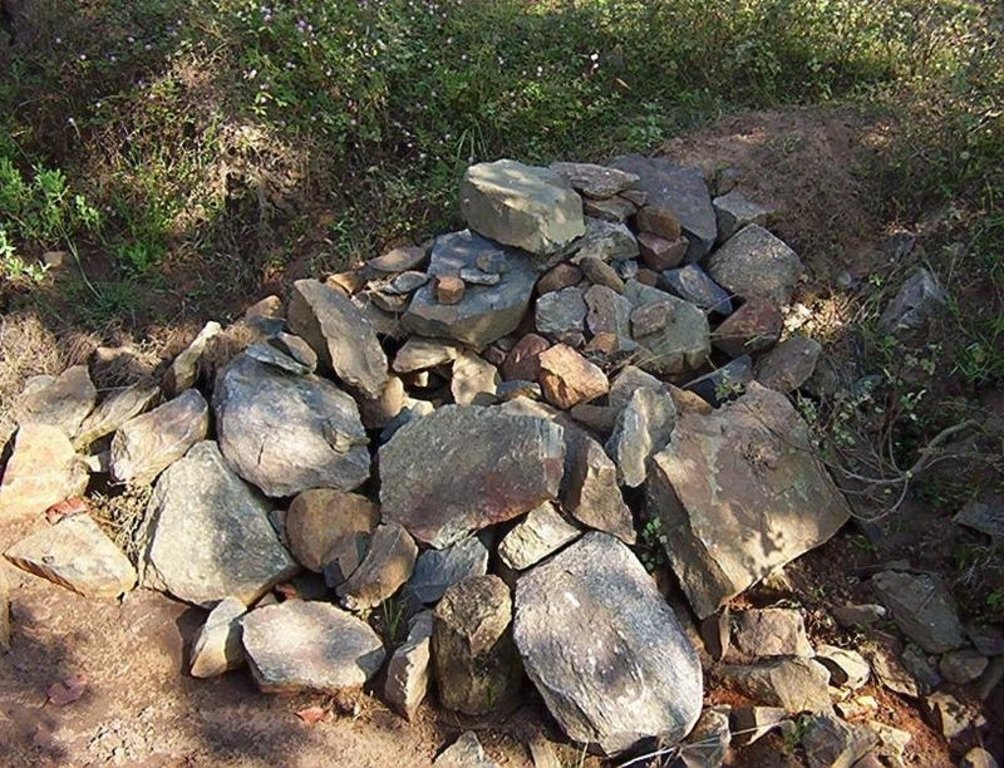
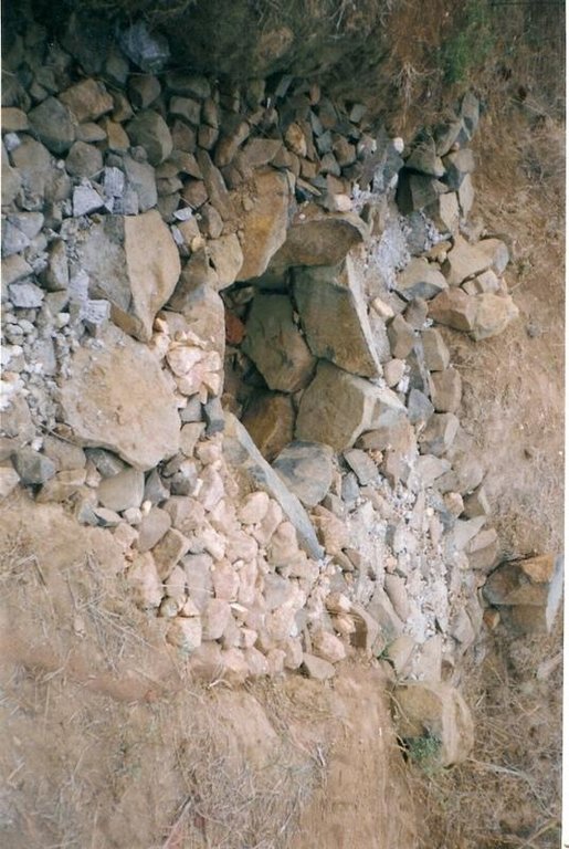
Construction material (stone): Inlet and outlet of pond and drop structure are made up of stone
Construction material (wood): Brush wood check dams are made up of wooden poles and bush wood.
Slope (which determines the spacing indicated above): 8%
If the original slope has changed as a result of the Technology, the slope today is: 3%
For water harvesting: the ratio between the area where the harvested water is applied and the total area from which water is collected is: 1:41
Vegetation is used for stabilisation of structures.
المؤلف:
Patnaik K.C, Malkangiri, Oriss
4.2 معلومات عامة بخصوص حساب المدخلات والتكاليف
عملة أخرى/ عملة وطنية (حدد):
Rupee
إذا كان ذا صلة، وضح سعر الصرف من الدولار الأمريكي إلى العملة المحلية (على سبيل المثال، 1 دولار أمريكي = 79.9 ريال برازيلي): 1 دولار أمريكي =:
45,0
اذكر متوسط تكلفة أجر العمالة المستأجرة في اليوم الواحد:
0.89
4.3 أنشطة التأسيس
| النشاط | التوقيت (الموسم) | |
|---|---|---|
| 1. | Collection grass sods and vertivera slips | beginning of rainy season |
| 2. | Transporting grass sods on established banks | beginning of rainy season |
| 3. | Watering | When dry in Ist. Season |
| 4. | Dugout sunken pond-Surveying | Summer season |
| 5. | Dugout sunken pond- soil excavated from pondage area used in trapizodical bund around leaving inlet & outlet portion. | Summer season |
| 6. | Dugout sunken pond- Collection and transporting stone to inlet & outlet site | Summer season |
| 7. | Dugout sunken pond- construction of inlet & outlet with stone | Summer season |
| 8. | Dugout sunken pond- collection of local grass sods & vertiver slops | Onset of rain |
| 9. | Dugout sunken pond- turfing the bund slopes and planting of vertiver slips in rows at up stream and down steam side of inlet and outlet | On set of rain |
| 10. | Brushwood check dam- surveying | Summer season |
| 11. | Brushwood check dam- collection of wooden poles and brush wood | Summer season |
| 12. | Brushwood check dam- collection of picked up stones | Summer season |
| 13. | Brushwood check dam- fixing of wooden pole, weiving with brush wood, filling up the gaps with picked up stones | Summer season |
| 14. | Brushwood check dam- collection of vertiver slips and planting in upstream and downstream of each structure | On set of rain |
| 15. | Drop structure- surveying | Summer season |
| 16. | Drop structure- collection & transportation of stones to work spot | Summer season |
| 17. | Drop structure- construction of drop structure with stones | Summer season |
| 18. | Drop structure- collection of vertiver slips and planting at up stream and down stream of structure | On set of rain |
4.4 التكاليف والمدخلات اللازمة للتأسيس
| تحديد المدخلات | الوحدة | الكمية | التكاليف لكل وحدة | إجمالي التكاليف لكل مدخل | % من التكاليف التي يتحملها مستخدمو الأراضي | |
|---|---|---|---|---|---|---|
| العمالة | Labour | ha | 1,0 | 225,0 | 225,0 | 14,0 |
| معدات | Animal traction | ha | 1,0 | 49,0 | 49,0 | |
| معدات | Tools | ha | 1,0 | 4,0 | 4,0 | |
| غير ذلك | Royalty charges for stones | ha | 1,0 | 6,0 | 6,0 | |
| غير ذلك | Fishery and feed | ha | 1,0 | 9,0 | 9,0 | |
| غير ذلك | Field bunding | ha | 1,0 | 73,0 | 73,0 | 100,0 |
| غير ذلك | Water way | ha | 1,0 | 6,0 | 6,0 | 100,0 |
| إجمالي تكاليف إنشاء التقنية | 372,0 | |||||
| إجمالي تكاليف إنشاء التقنية بالدولار الأمريكي | 8,27 | |||||
4.5 الصيانة/الأنشطة المتكررة
| النشاط | التوقيت/الوتيرة | |
|---|---|---|
| 1. | Collecting vertiver slips & grass sods for gap filling | Onset of rain /annual |
| 2. | Collection of grass sods and gap fillling to bund layers | On set of rain/Annualy |
| 3. | Desiltation | Before on set of rain/Biannualy |
4.6 التكاليف والمدخلات اللازمة للصيانة/للأنشطة المتكررة (سنويًا)
| تحديد المدخلات | الوحدة | الكمية | التكاليف لكل وحدة | إجمالي التكاليف لكل مدخل | % من التكاليف التي يتحملها مستخدمو الأراضي | |
|---|---|---|---|---|---|---|
| العمالة | Labour | ha | 1,0 | 18,0 | 18,0 | 100,0 |
| غير ذلك | Field bunding | ha | 1,0 | 2,0 | 2,0 | 100,0 |
| غير ذلك | Water way | ha | 1,0 | 1,0 | 1,0 | 100,0 |
| إجمالي تكاليف صيانة التقنية | 21,0 | |||||
| إجمالي تكاليف صيانة التقنية بالدولار الأمريكي | 0,47 | |||||
التعليقات:
The above calculation is based on the total establishment/ recurring cost both born by the project and land users is devided by the total project area i.e 4.75 ha. To get average hect. cost.
4.7 أهم العوامل المؤثرة على التكاليف
قدم وصفا لأهم العوامل التي تؤثر على التكاليف:
Availability of stone affects the cost from implementing SWC
5. البيئة الطبيعية والبشرية
5.1 المناخ
هطول الأمطار السنوي
- < 250 مم
- 251- 500 ملم
- 501 - 750ملم
- 1,000-751 ملم
- 1,500-1,100 ملم
- 2,000-1,500 ملم
- 3,000-2,001 ملم
- 4,000-3,100 ملم
- > 4000 ملم
حدد متوسط هطول الأمطار السنوي (إذا كان معروفًا)، بالملليمتر:
1760,00
المنطقة المناخية الزراعية
- شبه رطبة
South Eastern Ghat Agro Climatic Zone
5.2 طوبوغرافيا
متوسط الانحدارات:
- مسطح (0-2%)
- بسيط (3-5%)
- معتدل (6-10%)
- متدحرج (11-15%)
- تلال (16-30%)
- شديدة الانحدار(31-60%)
- فائقة الانحدار (>60%)
التضاريس:
- هضاب/سهول
- أثلام مرتفعة
- المنحدرات الجبلية
- منحدرات التلال
- منحدرات في السفوح
- قاع الوادي
المنطقة الارتفاعية:
- 100-0 متر فوق سطح البحر
- 500-101 متر فوق سطح البحر
- 1,000-501 متر فوق سطح البحر
- 1,500-1,001 متر فوق سطح البحر
- 2,000-1,501 متر فوق سطح البحر
- 2,500-2,100 متر فوق سطح البحر
- 3,000-2,501 متر فوق سطح البحر
- 4,000-3,001 متر فوق سطح البحر
- > 4000 متر فوق سطح البحر
التعليقات والمواصفات الإضافية بشأن التضاريس:
Altitudinal zone: 101-500 m a.s.l. (423 m a.s.l.)
Landforms: Plateau/plains (2-7% slope)
5.3 التربة
متوسط عمق التربة:
- ضحل جدًا (0-20 سم)
- ضحلة (21-50 سم)
- متوسطة العمق (51-80 سم)
- عميقة (81-120 سم)
- عميقة جدًا (> 120 سم)
قوام التربة (التربة السطحية):
- متوسط ( طميي، سلتي)
المواد العضوية في التربة السطحية:
- متوسطة (1-3%)
إذا كان متاحًا، قم بإرفاق وصف كامل للتربة أو تحديد المعلومات المتوفرة، على سبيل المثال نوع التربة، الرقم الهيدروجيني/ درجة حموضة التربة، قدرة التبادل الكاتيوني، النيتروجين، الملوحة وما إلى ذلك.
Soil fertility: Medium
Soil drainage/infiltration: Good
Soil water storage capacity: Medium
5.6 خصائص مستخدمي الأراضي الذين يطبقون التقنية
الدخل من خارج المزرعة:
- 10-50% من جميع الإيرادات
المستوى النسبي للثروة:
- ضعيف
- متوسط
مستوى المكننة:
- عمل يدوي
- الجر الحيواني
اذكر الخصائص الأخرى ذات الصلة لمستخدمي الأراضي:
Population density: < 10 persons/km2
Annual population growth: < 0.5%
30% of the land users are average wealthy and own 60% of the land.
70% of the land users are poor and own 40% of the land.
Off-farm income specification: Land users from SWC technology area proctise contour plough, line sowing and using HYV paddy have increased their income significantly.
Level of mechanization: Manual labour and aniaml traction (bullock plough, both ranked 1)
Market orientation of production system: Pisciculture (Selling at village level)
5.7 متوسط مساحة الأرض التي يستخدمها مستخدمو الأراضي الذين يطبقون التقنية
- < 0.5 هكتارا
- 0.5 - 1 هكتار
- 1 -2 هكتار
- 2 - 5 هكتار
- 5 - 15 هكتار
- 15 - 50 هكتار
- 50 - 100هكتار
- 500-100 هكتار
- 1,000-500 هكتار
- 10,000-1,000 هكتار
- > 10,000 هكتار
5.8 ملكية الأراضي، وحقوق استخدام الأراضي، وحقوق استخدام المياه
ملكية الارض:
- مجتمعي/قروي
حقوق استخدام الأراضي:
- وصول مفتوح (غير منظم)
6. الآثار والتصريحات الختامية
6.1 الآثار التي أظهرتها التقنية في الموقع
الآثار الاجتماعية والاقتصادية
الإنتاج
إنتاج المحاصيل
تنوع المنتج
التعليقات/ حدد:
Fish add to their income
منطقة الإنتاج
التعليقات/ حدد:
Closure of land by pondage area
توافر المياه ونوعيتها
توافر المياه للماشية
التعليقات/ حدد:
Pisciculture support to live stock, dirnking water for cattle
الآثار الاجتماعية والثقافية
المؤسسات المجتمعية
التعليقات/ حدد:
Management group formed and strengthened due to continurous income from pisciculture.
المعرفة بالإدارة المستدامة للأراضي/تدهور الأراضي
التعليقات/ حدد:
Training conducted
Linkage with other institutions
التعليقات/ حدد:
Due to different activities in the pond linkage to other institution has increased like Horticulture, Fishery etc.
الآثار الايكولوجية
دورة المياه / الجريان السطحي
الجريان السطحي
الكمية قبل الإدارة المستدامة للأراضي:
90
الكمية بعد الإدارة المستدامة للأراضي:
40
تصريف المياه الزائدة
التربة
رطوبة التربة
التعليقات/ حدد:
Due to water storage
فقدان التربة
الكمية قبل الإدارة المستدامة للأراضي:
87
الكمية بعد الإدارة المستدامة للأراضي:
45
الآثار الايكولوجية الأخرى
Biodiversity
6.2 الآثار التي أظهرتها التقنية خارج الموقع
تراكم الطمي باتجاه مصب النهر
Soil moisture regime
6.4 تحليل التكلفة والعائد
كيف يمكن مقارنة العوائد نسبة لتكاليف الإنشاء (من وجهة نظر مستخدمي الأراضي)؟
عوائد قصيرة الأجل:
إيجابي قليلا
عوائد طويلة الأجل:
إيجابي
كيف تتم مقارنة العوائدمع كلفة الصيانة/التكاليف المتكررة (من وجهة نظر مستخدمي الأراضي)؟
عوائد قصيرة الأجل:
محايد/متوازن
عوائد طويلة الأجل:
محايد/متوازن
6.5 اعتماد التقنية
من بين جميع الذين تبنوا التقنية، كم عدد الذين فعلوا ذلك بشكل تلقائي، أي دون تلقي أي حوافز مادية/مدفوعات؟:
- 91-100%
التعليقات:
100% of land user families have adopted the Technology without any external material support
19 land user families have adopted the Technology without any external material support
Comments on spontaneous adoption: survey results
There is a moderate trend towards spontaneous adoption of the Technology
Comments on adoption trend: If the community find the technology is low cost to teke up and gets eye catching benefits, then the treand of adoption is good.
6.7 نقاط القوة / المزايا / الفرص التي توفرها التقنية
| نقاط القوة/ المزايا/ الفرص من وجهة نظر مستخدمي الأراضي |
|---|
|
Water problem for human and cattle solved How can they be sustained / enhanced? Regular maintenance of pond needed |
|
Damage of crops reduced by construction of series of structures How can they be sustained / enhanced? More field bunding, vegetative cover should be imparted. |
|
Users group brings villagers closure How can they be sustained / enhanced? Manageent group to be reorganised annuly |
| نقاط القوة/ المزايا/ الفرص من وجهة نظر جامع المعلومات أو غيره من الاشخاص الرئيسيين لمصدر المعلومات |
|---|
|
Water scarcity of the area partly solved How can they be sustained / enhanced? Regular desilting shound be done. |
|
Heavy sand casting and soil loss controled How can they be sustained / enhanced? More vegetative cover required for catchement area |
|
Crop production increased in the project area How can they be sustained / enhanced? Should be replicated by the people. |
|
Pisciculture added extra income to the villagers How can they be sustained / enhanced? Hybrid fingerlings to be adopted |
6.8 نقاط ضعف / مساوىء / مخاطر التقنية وسبل التغلب عليها
| نقاط الضعف/ المساوىء/ المخاطر من وجهة نظر جامع المعلومات أو غيره من الاشخاص الرئيسيين لمصدر المعلومات | كيف يمكن التغلب عليها؟ |
|---|---|
| Sand casting could not be checked fully | By full vegetative cover and more structural measures it can be checked. |
| Sediment deposit in down stream area decreased | The loss can be over come by increasing crop yield. |
7. المراجع والروابط
7.1 طرق جمع/مصادر المعلومات
7.2 المراجع للمنشورات المتاحة
العنوان، المؤلف، السنة، النظام القياسي الدولي لترقيم الكتب ISBN:
Watershed Survey Report
متاح من أين؟كم التكلفة؟:
Director of Soil Conservation, Orissa, Bhubaneswar
العنوان، المؤلف، السنة، النظام القياسي الدولي لترقيم الكتب ISBN:
Plan and Estimate
متاح من أين؟كم التكلفة؟:
-do-
الروابط والوحدات المواضيعية
توسيع الكل طي الكلالروابط

PARTICIPATORY APPROACH IN IDCWDP, DANIDA [الهند]
Participatory approach for holistic and intigrated development of the defined area on watershed basis involving all level of stake holders.
- جامع المعلومات: Srikanta Kumar Parida
الوحدات المواضيعية
لا يوجد وحدات مواضيعية


