High-quality inner urban development [Герман]
- Шинийг нээх:
- Шинэчлэх:
- Эмхэтгэгч: Johanna Fick
- Хянан тохиолдуулагч: –
- Хянагчид: Fabian Ottiger, David Streiff
Qualitätsvolle Innenentwicklung (German)
technologies_1698 - Герман
Бүлгүүдийг үзэх
Бүгдийг дэлгэх Бүгдийг хаах1. Ерөнхий мэдээлэл
1.2 Технологийг үнэлэх, баримтжуулах ажилд хамаарах мэдээлэл өгсөн хүмүүс, байгууллагуудын холбоо барих мэдээлэл
ГТМ мэргэжилтэн:
Hoymann Jana
+49 228 99 401
jana.hoymann@bbr.bund.de
Federal Institute for Research on Building, Urban Affairs and Spatial Development (BBSR)
Deichmanns Aue 31 - 37 53179 Bonn NRW Germany
Герман
ГТМ мэргэжилтэн:
Goetzke Roland
Federal Institute for Research on Building, Urban Affairs and Spatial Development (BBSR)
Deichmanns Aue 31 - 37 53179 Bonn NRW Germany
Герман
Технологи баримтжуулах/үнэлэх ажилд дэмжлэг үзүүлсэн төслийн нэр (шаардлагатай бол)
Book project: Making sense of research for sustainable land management (GLUES)Технологи баримтжуулах/үнэлэх ажилд дэмжлэг үзүүлсэн төслийн нэр (шаардлагатай бол)
Climate Change - Land Use Strategies (CC-LandStraD / GLUES)Технологи баримтжуулах/үнэлэх ажилд дэмжлэг үзүүлсэн байгууллага(ууд)-ын нэр (шаардлагатай бол)
Thünen Institute (Thünen Institute) - ГерманТехнологи баримтжуулах/үнэлэх ажилд дэмжлэг үзүүлсэн байгууллага(ууд)-ын нэр (шаардлагатай бол)
Federal Institute for Research on Building, Urban Affairs and Spatial Development (BBSR) - Герман1.3 ВОКАТ-аар баримтжуулсан өгөгдлийг ашиглахтай холбоотой нөхцөл
Мэдээллийг хэзээ (газар дээр нь) цуглуулсан бэ?
28/07/2015
Эмхэтгэгч болон гол мэдээлэгч хүн(хүмүүс) WOCAT аргачлалаар баримтжуулсан мэдээллийг ашиглахтай холбоотой нөхцлийг хүлээн зөвшөөрсөн:
Тийм
1.5 ГТМ-ийн Арга барилын талаархи санал асуулгын(д) суурь мэдээлэл
Open dialogue platform on sustainable land management [Герман]
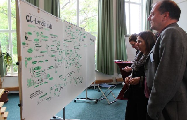
Establishing a dialogue platform on sustainable land management which is open to all stakeholders
- Эмхэтгэгч: Johanna Fick
2. ГТМ Технологийн тодорхойлолт
2.1 Технологийн товч тодорхойлолт
Технологийн тодорхойлолт:
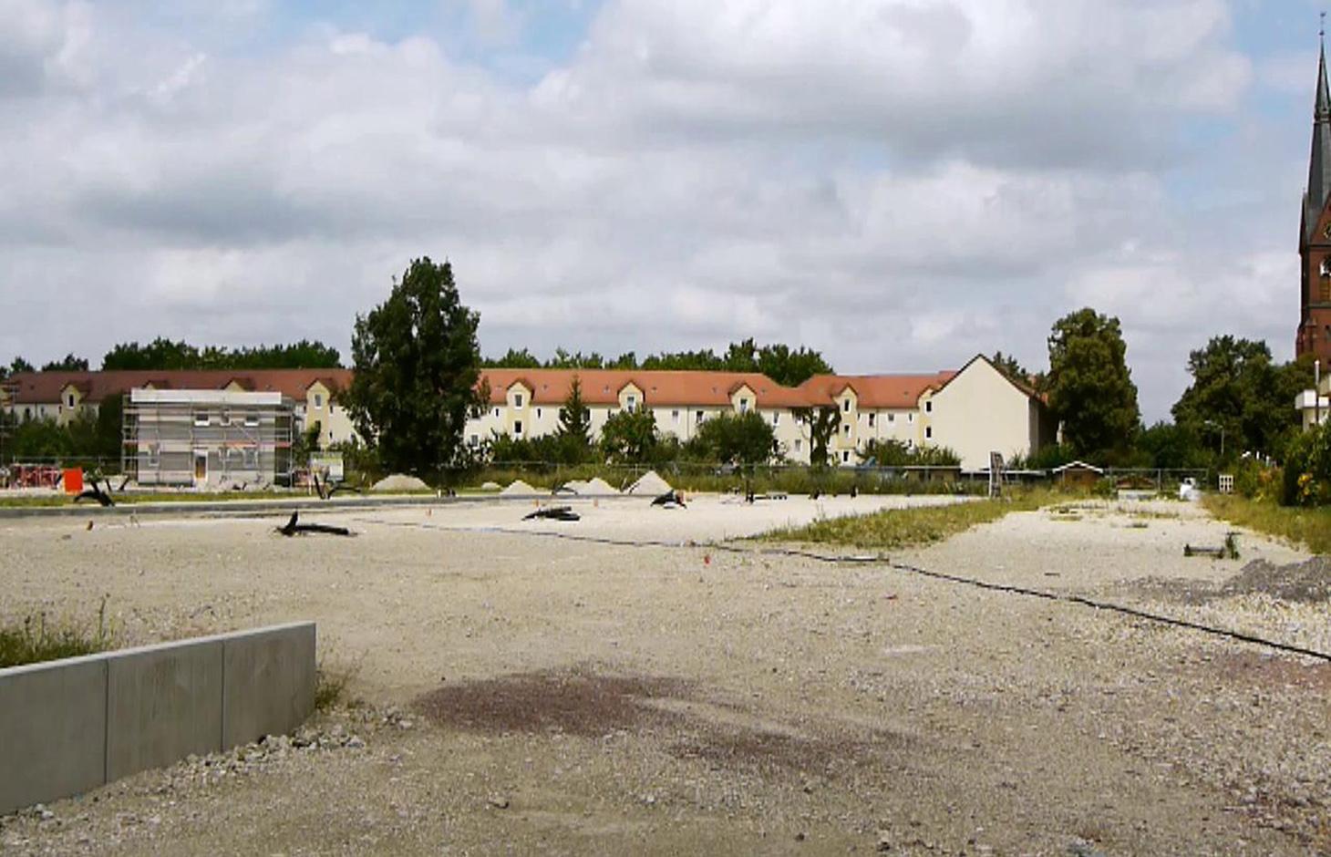
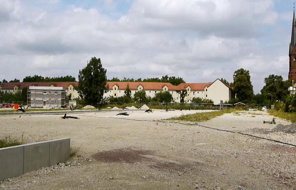
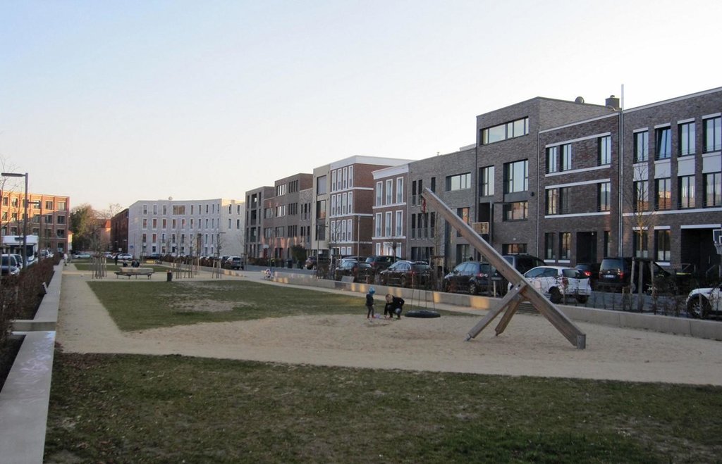
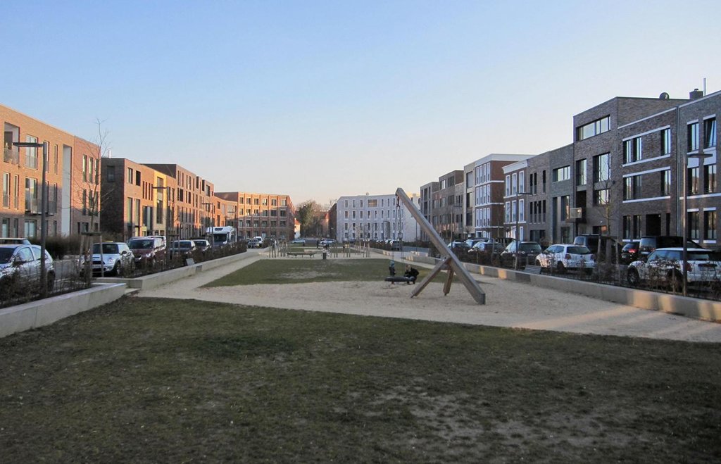
A scenario simulation of land use change where high-quality inner urban development is promoted, including the rehabilitation of brownfields, reuse of vacant lots, use of gaps between buildings and the improvement of existing structures.
2.2 Технологийн дэлгэрэнгүй тодорхойлолт
Тодорхойлолт:
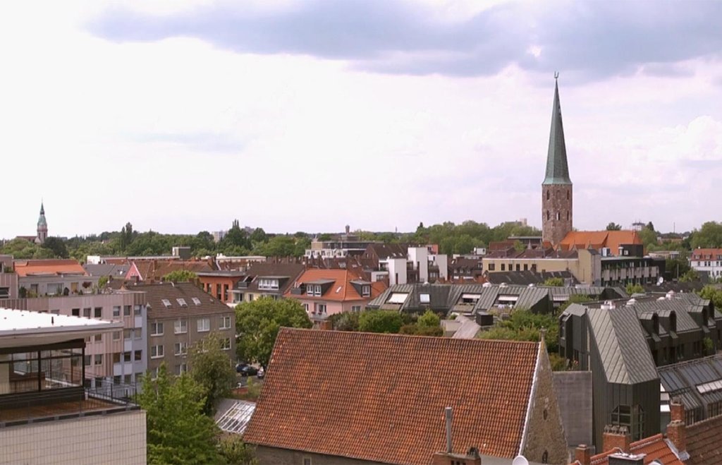
The best means of reducing land loss by settlement and infrastructure development is through fulfilling inner urban development potential. This “compact settlement development” makes the most efficient use of space. Simultaneously it contributes to the reduction of greenhouse gas emissions by the maintenance of farmland or forest areas on the outskirts of urban areas. One example is the rehabilitation and utilization of “brownfields”, including previous industrial areas. Another example is redevelopment of transportation infrastructure within settlements or on the urban fringe. However, the revitalization and utilization of brownfields is often expensive. Other aspects of inner urban development are the reuse of vacant lots, the use of spaces between buildings and the improvement of existing building structures by adding extra floors.
Purpose of the Technology: Through these developments, the rate of daily land consumption by settlement and transportation can be reduced. In Germany, such land loss reached 73 ha/day in 2010. According to a survey commissioned by the Federal Office for Building and Regional Planning, 20% of existing brownfields and vacant lots can be brought into use in the short term and another 50% of the total in the long term: 30% cannot be developed for various reasons including disputed tenure. The ambitious aim of the sustainability strategy of the German federal government is to reduce today’s daily land consumption for settlement and transport from the current 73 ha/day to 30 ha/day by 2020. However this appears unrealistic: nevertheless with high-quality inner urban development technology, this could be achieved by 2030. If the technology is planned and implemented through scenario simulation of sectoral land use changes in Germany (agriculture, forest and settlements), then calculations show that the daily land loss by settlement and transport could be reduced from 45 ha/day in a “business as usual” scenario (with some improvements assumed) to 30 ha/per day in 2030 by using high-quality inner urban development measures.
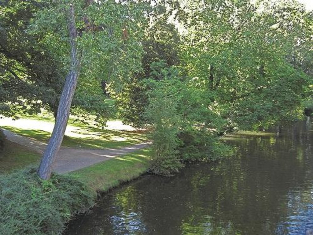
Establishment / maintenance activities and inputs: During re-densification of urban areas sufficient green spaces must be protected to address climate change considerations such as higher temperatures and more runoff. High urban densities lead to an increase in the “heat island effect” (a combination of extensive urban/ suburban landscapes with reduced air circulation, little cloud cover and long periods of high temperature). Thus, the rehabilitation of brownfields has to go along with the transformation of impervious surfaces into permeable ones, and planning of corridors for air exchange by “green and blue climate corridors” (public parks, ponds and rivers). There are several initiatives to establish high quality inner urban development in Germany. These include: 1) “Inner before external” urban development within the Federal Building Law; 2) Many communities operating a brownfields and vacant lots cadastre; 3) General management of urban areas. Nevertheless, the reuse of inner city brownfields often requires considerable and costly remediation of contaminated sites. Due to the ownership issues of vacant lots, many are not easily accessible through municipalities, and this complicates their development. In other cases, available construction areas or buildings are not appropriate to the needs of investors.
2.3 Технологийн гэрэл зураг
2.5 Энэ үнэлгээнд хамрагдсан технологийг хэрэгжүүлсэн улс орон/ бүс нутаг/ байршил
Улс:
Герман
Улс/аймаг/сум:
Germany, North Rhine-Westphalia
Байршлын дэлгэрэнгүй тодорхойлолт:
Rheinisch-Bergischer Kreis and Rhein-Sieg-Kreis
Тайлбар:
Boundary points of the Technology area: 51.075063; 7.335960
51.164380; 7.251345
51.107561; 6.988673
50.816401; 7.674266
50.585640; 6.892780
50.793044; 6.867394
Technology is the result of a scenario simulation fow whole Germany but is mapped in the Rhine region as an example.The technology does not document a specific inner urban development project and the region mapped is an example. In some German cities inner urban development is a common land management measure but the amount of current inner-urban development cannot be quantified. The potential is estimated as 120000 to 165000 ha.
2.6 Хэрэгжсэн хугацаа
Байгуулсан тодорхой оныг мэдэхгүй бол баримжаа хугацааг тодорхойл:
- <10 жилийн өмнө (саяхны)
2.7 Технологийн танилцуулга
Технологийг хэрхэн нэвтрүүлснийг тодорхойл:
- Гадны төсөл/хөтөлбөрийн дэмжлэгтэйгээр
Тайлбар (төслийн төрөл г.м.):
The technology documented here is a scenario simulation of land use change and not the realisation of a specific inner urban development project.
3. ГТМ технологийн ангилал
3.2 Технологи нэвтрүүлсэн газрын одоогийн газар ашиглалтын хэлбэр(үүд)

Суурьшил, дэд бүтэц
Тайлбар:
Major land use problems (compiler’s opinion): Land use for settlement and transport leads to imperviousness, and a reduction of high quality agricultural areas. Sealed surfaces increase runoff during heavy rain events, and high building densities promote the development of urban heat islands.
Major land use problems (land users’ perception): In fast-growing regions, high demand requires the supply of additional land for construction.
Future (final) land use (after implementation of SLM Technology): Other: Oo: Other: wastelands, deserts, glaciers, swamps, recreation areas, etc
Type of cropping system and major crops comments: not applicable
Constraints of settlement / urban: Data availability for locations of brownfields, vacant lots and vacancies
Constraints of infrastructure network (roads, railways, pipe lines, power lines): Data availability for locations of brownfields, vacant lots and vacancies
Constraints of recreation: Data availability for locations of brownfields, vacant lots and vacancies
Constraints of brownfields: Data availability for locations of brownfields, vacant lots and vacancies
Хэрэв технологи нэвтрүүлснээр газар ашиглалтад өөрчлөлт гарсан бол технологи нэвтрүүлэхээс өмнө байсан газар ашиглалтын хэлбэрийг тодорхойлно уу:
Other: Os: Settlements, infrastructure networks
3.3 Газар ашиглалтын тухай нэмэлт мэдээлэл
Жилд ургамал ургах улирлын тоо:
- 1
3.4 Технологи ГТМ-ийн аль бүлэгт хамаарах вэ
- Compact settlement development
3.5 Технологийн хамрах талбай
Тайлбар:
Total area covered by the SLM Technology is 1590 m2.
Technology is the result of a scenario simulation fow whole Germany but is mapped in the Rhine region as an example.The technology does not document a specific inner urban development project and the region mapped is an example. In some German cities inner urban development is a common land management measure but the amount of current inner-urban development cannot be quantified. The potential is estimated as 120000 to 165000 ha.
3.6 Технологийг бүрдүүлэх ГТМ арга хэмжээ

Менежментийн арга хэмжээ
- М1: Газар ашиглалтын хэлбэрийг өөрчлөх
- М2: Ашиглалтын менежмент/эрчимийг өөрчлөх
Тайлбар:
Main measures: management measures
3.7 Технологид харгалзах газрын доройтлын төрөл

хөрсний физик доройтол
- Pk: Гадарга дээр хагсах, хагарах
- Pu: Бусад үйл ажиллагааны улмаас био-бүтээмжит функц алдагдах

биологийн доройтол
- Bh: Амьдрах орчин доройтох
- Bq: биомасс буурах
Тайлбар:
Main type of degradation addressed: Pu: loss of bio-productive function due to other activities
Secondary types of degradation addressed: Pk: sealing and crusting, Bh: loss of habitats, Bq: quantity / biomass decline
Main causes of degradation: urbanisation and infrastructure development
Secondary causes of degradation: population pressure, inputs and infrastructure: (roads, markets, distribution of water points, other, …), governance / institutional
3.8 Газрын доройтлоос урьдчилан сэргийлэх, сааруулах ба нөхөн сэргээх
Газрын доройтолтой холбоотойгоор Технологи ямар зорилго тавьсан болохыг тодорхойл:
- Газрын доройтлыг бууруулах
Тайлбар:
Main goals: mitigation / reduction of land degradation
4. Техникийн нөхцөл, хэрэгжүүлсэн үйл ажиллагаа, материал ба зардал
4.1 Технологийн техник зураг
4.2 Техникийн үзүүлэлт/ техникийн зургийн тайлбар
Green and blue structure like parks, trees, alleys (green) and water areas like rivers, canals, ponds and lakes (blue) are relevant issues especially with respect to the climate adaptation
Technical knowledge required for scientific staff: high
Main technical functions: spatial arrangement and diversification of land use, reduces the loss of agricultural land and forests
Change of land use type: Brownfields are converted to settlement area. Agricultural area is conserved.
Change of land use practices / intensity level: Settlement density may increase with inner urban development.
4.4 Бий болгох үйл ажиллагаа
| Үйл ажиллагаа | Арга хэмжээний төрөл | Хугацаа | |
|---|---|---|---|
| 1. | Data collection | Менежментийн | Half a year |
| 2. | Implementation into the model and model calibration | Менежментийн | Half a year |
| 3. | Model runs | Менежментийн | one month |
| 4. | Evaluation | Менежментийн | one month |
| 5. | Scenario development | Менежментийн |
4.8 Зардалд нөлөөлж байгаа хамгийн чухал хүчин зүйл
Өртөг, зардалд нөлөөлөх гол хүчин зүйл:
Measures can be very different in terms of inputs and costs, and depend on the specific situation eg contaminated area of a former petrol station can have very high rehabilitation costs due to the need to detoxify the soil before new use. However other measures cost (effectively) no money at all eg legislation governing the reduction of the distance permitted between two new buildings by the local authorities.
5. Байгаль ба нийгмийн нөхцөл
5.1 Уур амьсгал
Жилийн нийлбэр хур тундас
- < 250 мм
- 251-500 мм
- 501-750 мм
- 751-1,000 мм
- 1,001-1,500 мм
- 1,501-2,000 мм
- 2,001-3,000 мм
- 3,001-4,000 мм
- > 4,000 мм
Хур тунадасны талаархи тодорхойлолт/ тайлбар:
Annual rainfall: 250-500 mm, 500-750 mm, 750-1000 mm, 1000-1500 mm
Агро-уур амьсгалын бүс
- чийглэг
Thermal climate class: temperate
5.2 Гадаргын хэлбэр
Дундаж налуу:
- хавтгай (0-2 %)
- бага зэрэг налуу (3-5 %)
- дунд зэрэг налуу (6-10 % )
- хэвгий (11-15 %)
- налуу (16-30 %)
- их налуу (31-60 % )
- эгц налуу (>60 %)
Гадаргын хэлбэр:
- тэгш өндөрлөг / тал
- нуруу
- уулын энгэр
- дов толгод
- бэл
- хөндий
Өндрийн бүслүүр:
- 0-100 д.т.д. м.
- 101-500 д.т.д. м.
- 501-1,000 д.т.д м.
- 1,001-1,500 д.т.д м.
- 1,501-2,000 д.т.д м.
- 2,001-2,500 д.т.д. м.
- 2,501-3,000 д.т.д. м.
- 3,001-4,000 д.т.д м.
- > 4,000 д.т.д. м.
Гадаргын талаархи тодорхойлолт ба бусад тайлбар:
Landforms: plateau / plains, hill slopes, valley floors (Not relevant for technology inner urban development)
5.6 Технологи нэвтрүүлсэн газар ашиглагчдын тухай мэдээлэл
Хувь хүн эсвэл бүлэг:
- ажилтан (компани, засгийн газар)
Газар ашиглагчдын бусад шинж чанарыг тодорхойл:
Difference in the involvement of women and men: Technology is not applied by land users. The technology is a scenario simulation, not a specific project of inner urban development.
Population density: 200-500 persons/km2
Annual population growth: < 0.5%
(Technology, which is a scenario simulation is not applied by land users.).
Off-farm income specification: not applicable
5.8 Газар эзэмшил, газар ашиглах эрх, ус ашиглах эрх
Газар ашиглах эрх:
- нэгдлийн хэлбэрээр (зохион байгуулалттай)
- хувь хүн
Тайлбар:
Land ownership: state, company, individual, not titled
6. Үр нөлөө ба дүгнэлт
6.1 Технологийн талбайд үзүүлсэн нөлөө
Нийгэм-соёлын үр нөлөө
эрүүл мэндийн байдал
Тайлбар/ тодорхой дурьдах:
Due to increase of urban heat island effect. Effect cannot be quantified.
амралт, рекреацийн боломжууд
Return on sales after revitalisation of brownfields
Cost for public transport and public infrastructure
Compact urban infrasture
Экологийн үр нөлөө
Усны эргэлт/ илүүдэл
гадаргын урсац
Тайлбар/ тодорхой дурьдах:
Estimation, source is another study
Хөрс
хөрс хагарах/ хагсах
Тайлбар/ тодорхой дурьдах:
Increased soil sealing, amount depends on the number of inner urban development projects
Биологийн олон янз байдал: ургамал, амьтан
ургамлын төрөл, зүйл
Уур амьсгал болон гамшгийн эрсдлийг бууруулах
нүүрстөрөгч ба хүлэмжийн хийн ялгаруулалт
Тайлбар/ тодорхой дурьдах:
Increased carbon sequestration
Экологийн бусад үр нөлөө
Reduced hazard towards adverse events
Тайлбар/ тодорхой дурьдах:
If established green and blue corridors
6.2 Технологийн талбайн гадна үзүүлсэн үр нөлөө
буферлэх / шүүлтүүрийн багтаамж
нийтийн/хувийн хэвшлийн дэд бүтцэд учрах хохирол
Ways for infrastructure (e.g. water/sewage pipeline)
Тайлбар/ тодорхой дурьдах:
Through the compact settlement structure
6.3 Технологийн уур амьсгалын өөрчлөлт, цаг агаарын гамшигт үзэгдэлд өртөх байдал ба эмзэг байдал (газар ашиглагчийн бодлоор)
Уур амьсгалын аажим өөрчлөлт
Уур амьсгалын аажим өөрчлөлт
| Улирал | Уур амьсгалын өөрчлөлт/экстрим үзэгдлийн төрөл | Технологи түүний нөлөөг хэрхэн бууруулж байна? | |
|---|---|---|---|
| жилийн дундаж температур | Өсөлт | муу |
Уур амьсгалаас хамаарах аюул (гамшиг)
Цаг уурын гамшигт үзэгдэл
| Технологи түүний нөлөөг хэрхэн бууруулж байна? | |
|---|---|
| орон нутгийн аадар бороо | муу |
| орон нутгийн салхин шуурга | мэдэхгүй |
Уур амьсгалын гамшиг
| Технологи түүний нөлөөг хэрхэн бууруулж байна? | |
|---|---|
| ган гачиг | мэдэхгүй |
Усзүйн гамшиг
| Технологи түүний нөлөөг хэрхэн бууруулж байна? | |
|---|---|
| усны үер (гол) | мэдэхгүй |
Уур амьсгалд хамаарах бусад үр дагавар
Уур амьсгалд хамаарах бусад үр дагавар
| Технологи түүний нөлөөг хэрхэн бууруулж байна? | |
|---|---|
| цргалтын хугацаа багасах | сайн |
| мэдэхгүй |
Тайлбар:
A more intensive use of urban area through inner urban development leads also to an increase of impervious areas. These can addressed by urban blue and green corridors.
6.5 Технологи нэвтрүүлэлт
Тайлбар:
No answer possible, since technology is a scenario simulation.
There is no trend towards spontaneous adoption of the Technology
6.7 Технологийн давуу тал/боломжууд
| Эмхэтгэгч, бусад мэдээлэл өгсөн хүмүүсийн өнцгөөс тодорхойлсон давуу тал/боломжууд |
|---|
|
Scenario simulations help to identify hot spots and can indicate regions where inner urban development should be pushed by public institutions. How can they be sustained / enhanced? Inner urban development is profitable if pressure on land is high but needs to be pushed also in regions with less pressure to protect soils, nature and climate. |
|
Inner urban development can have positive impacts on climate adaptation How can they be sustained / enhanced? To reach positive impacts on climate adaptation issues it is necessary to establish green and blue climate corridors (e.g. network of urban greens established or optimized by re-vitalization of brownfields). |
|
Inner urban development can rise the attractiveness of town (greater inner city mobility, compact town) How can they be sustained / enhanced? The technology improves inner-urban area development. For improvements to existing settlement areas, additional building activities (e.g. making buildings taller; concentrating housing) are possible. Side effects are a very concentrated settlement structure but with the advantage of reducing the sprawling out of settlements into agricultural land or wooded areas (i.e. outer development) and this saves GHG emissions and other ecosystem services ESS. |
6.8 Технологийн дутагдалтай/сул тал/аюул болон тэдгээрийг хэрхэн даван туулах арга зам
| Эмхэтгэгч, бусад мэдээлэл өгсөн хүмүүсийн өнцгөөс тодорхойлсон сул тал/ дутагдал/ эрсдэл | Тэдгээрийг хэрхэн даван туулах вэ? |
|---|---|
| Nationwide simulation cannot indicate concrete lots where inner urban development should be pushed. | The technology has shown the potential for Germany as a whole, but implementation depends on local authorities. |
7. Ном зүй ба холбоосууд
7.2 Ном, хэвлэлийн ишлэл
Гарчиг, зохиогч, он, ISBN:
www.cc-landstrad.de
Гарчиг, зохиогч, он, ISBN:
www.bbsr.bund.de
7.3 Цахимаар олж болох хэвлэлийн холбоос (ж.нь ном, тайлан, видео г.м.)
Гарчиг/ тодорхойлолт:
www.cc-landstrad.de
Гарчиг/ тодорхойлолт:
www.bbsr.bund.de
Холбоос ба модулууд
Бүгдийг дэлгэх Бүгдийг хаахХолбоосууд

Open dialogue platform on sustainable land management [Герман]
Establishing a dialogue platform on sustainable land management which is open to all stakeholders
- Эмхэтгэгч: Johanna Fick
Модулууд
Модуль байхгүй байна


