The prevention of soil sealing [Poland]
- Creation:
- Update:
- Compiler: Tomasz Miturski
- Editor: –
- Reviewer: Fabian Ottiger
Zapobieganie zasklepianiu gleb (Polish)
approaches_2540 - Poland
View sections
Expand all Collapse all1. General information
1.2 Contact details of resource persons and institutions involved in the assessment and documentation of the Approach
Name of project which facilitated the documentation/ evaluation of the Approach (if relevant)
Preventing and Remediating degradation of soils in Europe through Land Care (EU-RECARE )Name of the institution(s) which facilitated the documentation/ evaluation of the Approach (if relevant)
Institute of Soil Science and Plant Cultivation (Institute of Soil Science and Plant Cultivation) - Poland1.3 Conditions regarding the use of data documented through WOCAT
When were the data compiled (in the field)?
03/04/2015
The compiler and key resource person(s) accept the conditions regarding the use of data documented through WOCAT:
Yes
1.4 Reference(s) to Questionnaire(s) on SLM Technologies
Ex-post and ex-ante soil sealing maps [Poland]
Ex-post and ex-ante soil sealing maps
- Compiler: Tomasz Miturski
2. Description of the SLM Approach
2.1 Short description of the Approach
The prevention of soil sealing is an approach in which stakeholders are making spatial planning decisions based on the new map of soil sealing, in case of protecting the most valuable soils.
2.2 Detailed description of the Approach
Detailed description of the Approach:
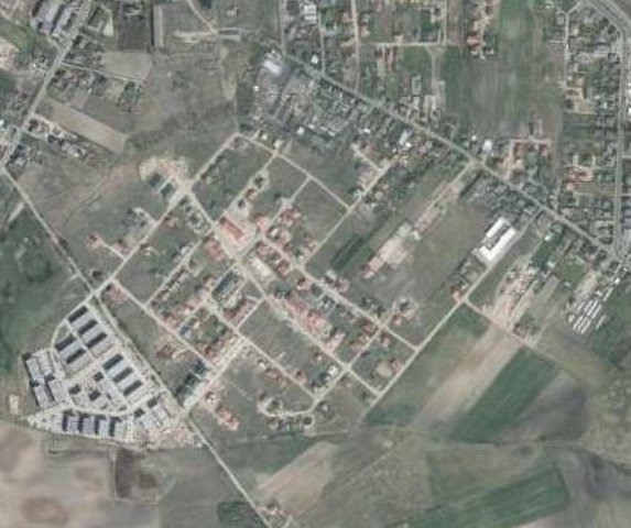
Aims / objectives: The aim of this approach is to show how spatial planning decisions, should be made by taking into account the soil sealing problem. As the consequence of urbanization pressure, the urban sprawl is crossing municipal boundaries of Poznań. In the whole study site area, 53,3 % are arable lands, located mostly on loams, silts or sandy clay soils. Wielkopolska province has got the highest farm productivity per ha in Poland. Based on EEA data, sealed surfaces constitute 16 % of the city area. Soil sealing problem is a consequence of the urban sprawl process, which affects mainly the municipalities near by the Poznań city borders. To support decision-making in municipalities spatial planning offices, the data from the soil sealing maps is used to select the most appropriate areas to build new houses mostly on low quality soils.
Methods: Land use maps of at least 10-meter resolution are produced for two historical periods
through classification of the satellite images and using available local land use
information. The information on land use change is superimposed on maps
characterizing soil quality in order to detect to what extend the urbanization took place
on valuable soils. The new sealed area, reflecting the built up sprawl of at least last 15
years, consists with expansion of the following land use classes: continuous residential
area, commercial/industrial area and transport facilities. The soils under these new land
use types fully lost their environmental functions. In the soil sealing forecasts the
Cellular Automata-based Metronamica model is used. The final maps consist of the spatial planning aspect, soil sealing area and the scientific comment about the soil sealing problem.
2.5 Country/ region/ locations where the Approach has been applied
Country:
Poland
Region/ State/ Province:
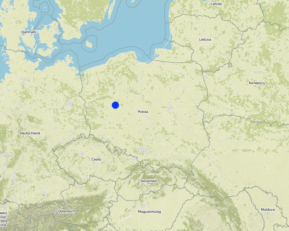
Poland, Wielkopolska
Further specification of location:
Poznan
Map
×2.7 Type of Approach
- project/ programme based
2.8 Main aims/ objectives of the Approach
The Approach focused on SLM only
The main aim of this Approach is to utilize soil agricultural maps and provide information on quality of sealed soils. Send those maps to the municipal authorities, with a scientific comment on the problem. For the whole province, these maps should be made based on the digital soil maps in scale 1:25 000.
The SLM Approach addressed the following problems: The best type of soil is being sealed by new house constructions sites. People from the city center are moving out to municipalities which are near by the border of the city. They are building their houses mostly on agricultural fields in a chaotic way, in much cases on the highest quality soils. This urban sprawl process, affects negatively the soil ecosystem services by the soil sealing and also decrease the quality of inhabitants life.
2.9 Conditions enabling or hindering implementation of the Technology/ Technologies applied under the Approach
institutional setting
- hindering
In Poland, for every area there were made soil maps in scale 1:5000 and 1:25000. On those maps besides soil data there is also information about house areas and land use types. Most of those maps are still only in paper version, which makes it very hard to use them in spatial planning.
Treatment through the SLM Approach: We will digitize the paper version of soil maps for the municipalities, and also update the map content about the land use.
3. Participation and roles of stakeholders involved
3.1 Stakeholders involved in the Approach and their roles
- SLM specialists/ agricultural advisers
- local government
- national government (planners, decision-makers)
Wielkopolska province, the Office of spatial planning in Poznań
3.2 Involvement of local land users/ local communities in the different phases of the Approach
| Involvement of local land users/ local communities | Specify who was involved and describe activities | |
|---|---|---|
| initiation/ motivation | none | The project was introduced throught RECARE project |
| planning | interactive | Wielkopolska province, the Office of spatial planning in Poznań. They firstly had chosen in which municipalities there is the biggest soil sealing problem |
| implementation | none | Wielkopolska province, the Office of spatial planning in Poznań. It is implemented in the spatial planning strategy in the Wielkopolska province. |
| monitoring/ evaluation | self-mobilization | Institute of soil science and plant cultivation in Pulawy. There is a discussion on a regular basis with the stakeholders. |
| Research | none |
3.4 Decision-making on the selection of SLM Technology/ Technologies
Specify who decided on the selection of the Technology/ Technologies to be implemented:
- SLM specialists alone
Explain:
Decisions on the method of implementing the SLM Technology were made by by SLM specialists alone (top-down)
4. Technical support, capacity building, and knowledge management
4.1 Capacity building/ training
Was training provided to land users/ other stakeholders?
Yes
- office workers form the Office of spatial planning
4.2 Advisory service
Do land users have access to an advisory service?
Yes
Describe/ comments:
Advisory service is quite adequate to ensure the continuation of land conservation activities
4.3 Institution strengthening (organizational development)
Have institutions been established or strengthened through the Approach?
- yes, a little
Specify the level(s) at which institutions have been strengthened or established:
- local
Specify type of support:
- capacity building/ training
Give further details:
On the first workshop.
4.4 Monitoring and evaluation
Is monitoring and evaluation part of the Approach?
Yes
Comments:
technical aspects were ad hoc monitored by government through observations; indicators: Advisory meetings
area treated aspects were ad hoc monitored by government through observations; indicators: only in municipalities with the highest soil sealing threat
management of Approach aspects were regular monitored by project staff through observations; indicators: advisory meetings
There were no changes in the Approach as a result of monitoring and evaluation
There were no changes in the Technology as a result of monitoring and evaluation
4.5 Research
Was research part of the Approach?
Yes
Specify topics:
- technology
Give further details and indicate who did the research:
Research was carried out on station
5. Financing and external material support
5.1 Annual budget for the SLM component of the Approach
Comments (e.g. main sources of funding/ major donors):
Approach costs were met by the following donors: international non-government: 90.0%; local government (district, county, municipality, village etc): 10.0%
5.4 Credit
Was credit provided under the Approach for SLM activities?
No
6. Impact analysis and concluding statements
6.1 Impacts of the Approach
Did the Approach help land users to implement and maintain SLM Technologies?
- No
- Yes, little
- Yes, moderately
- Yes, greatly
It had raised the awareness about the value of soil ecosystem services, and had shown how big is the scale of soil sealing. This information have started to be very useful in case of taking new spatial planning decisions by the planners.
Did the Approach empower socially and economically disadvantaged groups?
- No
- Yes, little
- Yes, moderately
- Yes, greatly
This isn't connected with the soil sealing threat
Did the Approach improve issues of land tenure/ user rights that hindered implementation of SLM Technologies?
- No
- Yes, little
- Yes, moderately
- Yes, greatly
Did other land users / projects adopt the Approach?
- No
- Yes, little
- Yes, moderately
- Yes, greatly
Our every stakeholder have adopted the Approach.
Did the Approach lead to improved livelihoods / human well-being?
- No
- Yes, little
- Yes, moderately
- Yes, greatly
This isn't connected with the soil sealing threat
Did the Approach help to alleviate poverty?
- No
- Yes, little
- Yes, moderately
- Yes, greatly
This isn't connected with the soil sealing threat
6.2 Main motivation of land users to implement SLM
- environmental consciousness
6.3 Sustainability of Approach activities
Can the land users sustain what has been implemented through the Approach (without external support)?
- yes
If yes, describe how:
Yes, they can continue the Approach activities without support. But we are opened for cooperation/consulting if there will be a need to make some improvements in this Approach.
6.4 Strengths/ advantages of the Approach
| Strengths/ advantages/ opportunities in the compiler’s or other key resource person’s view |
|---|
| The analysis are made base on the low scale maps : 1:5000 and 1:25000. (How to sustain/ enhance this strength: Update the land use information in spatial data format) |
6.5 Weaknesses/ disadvantages of the Approach and ways of overcoming them
| Weaknesses/ disadvantages/ risks in the compiler’s or other key resource person’s view | How can they be overcome? |
|---|---|
| The commune authorities don't think about long therm consequences in soil loss. They don't see soil sealing as a threat. | Raise the awareness about soil ecosystem services, especially about soil sealing threat. Showing them on the maps, the results of various prediction model, in which the urban sprawl will be still uncontrolled. |
7. References and links
7.1 Methods/ sources of information
- field visits, field surveys
- interviews with land users
Links and modules
Expand all Collapse allLinks
Ex-post and ex-ante soil sealing maps [Poland]
Ex-post and ex-ante soil sealing maps
- Compiler: Tomasz Miturski
Modules
No modules